
Last Thursday was the final Weekday Wanderers’ Walk of the year. It was not too long as we were booked for lunch at 2pm at a nearby smokehouse. Rain battered us on our drive northward to Thruscross Reservoir car park but by the time we arrived it had stopped and we enjoyed a walk that was only wet underfoot.

Prepared for the weather
The walk is more or less described here (we took a slightly different route, but basically it was the same).

Thruscross Dam
Thruscross is one of many reservoirs owned and operated by Yorkshire Water. As well as providing car parks and other facilities to improve public enjoyment of these, sometimes remote, areas YW have created many permissive footpaths around the reservoirs allowing walkers and others access to otherwise private land making for enjoyable excursions and providing safe walking and views of some outstanding scenery. Indeed, the water company encourage walking and produce descriptive leaflets describing walks of varying lengths in the West Yorkshire and North and East Yorkshire regions.

“The village of West End isn’t a mythical place. It existed until the start of the 1960s when it was evacuated, its buildings largely demolished and the trees around it felled. That work was done prior to the completion in 1966 of the dam which created Thruscross Reservoir, the fourth and highest of Yorkshire Water’s Washburn Valley reservoirs (Fewston, Swinsty and Lindley Wood are the others, in descending order).”
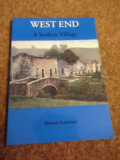
Read more about West End here and local author Alastair Laurence has written a brief history :
Adding interest to the Thruscross Reservoir Walk, which itself has very photogenic views (photographs probably adorning many a Yorkshire Calendar) are ruined buildings and old roads leading straight into the water.


Ruined Flax Mill
Description (adapted from the YW brochure)
A more challenging walk, this route runs from the car park at Thruscross through woodland, rough pastures and moorland alongside the edge of the reservoir.

Rock Outcrops
The surrounding scenery is beautiful with an array of interesting geographical features including crags, ghylls, streams and the River Washburn. Some parts of the route are rocky and muddy so boots are recommended.


Photos above : River Washburn (or tributaries) in full flow
Yorkshire writer Peter Robinson is renowned for lacing his work with Dales settings and our land and reservoirs have played a significant role in his stories, including In A Dry Season – a story inspired by the summer when the waters of Thruscross receded enough for the ruins of the sunken village of West End to emerge from the deep for the first time in decades.

Location North of Blubberhouses which is situated on the A59 Harrogate/Skipton Road. OS Map Explorer map 297
Access From our car park at the western end of Thruscross Dam.
Difficulty (4 Hikers symbol) Rough terrain and steeper gradients – boots required.

On completion of the walk we were ready for our Christmas lunch!

[…] the world and his wife was exercising his dog. Swinsty and Fewston Reservoirs lie just south of Thruscross Reservoir where I was walking recently. As at Thruscross Yorkshire Water have opened permissive paths […]