If our first day’s walking, now that I look back, was on a theme of Forts then the next day was on a theme of Convents. This was our longest day walking: over 12 miles. We left the Fortaleza after breakfast (and a personal farewell from the manager) at 9.30am and only arrived at our destination that evening at 6.30pm. Of course, we didn’t spend the whole day walking, there were several places to visit along the way, not least The Convento dos Capuchos, where we spent well over the ‘designated’ one hour suggested in our Route Booklet. The Convento (read more about it here) was the first location within the Cultural Landscape of Sintra – a UNESCO World Heritage site first designated in 1995 – on our itinerary.


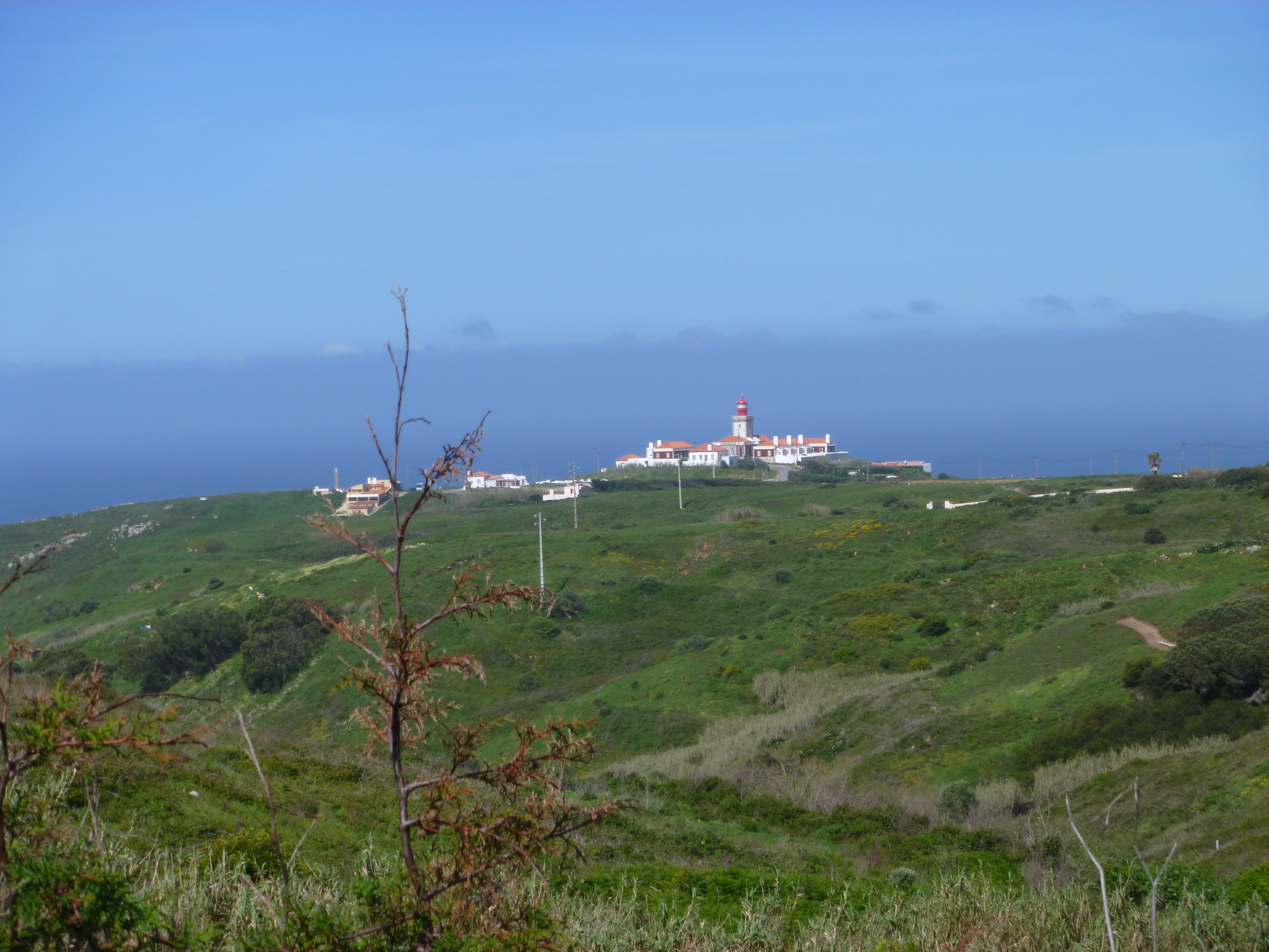
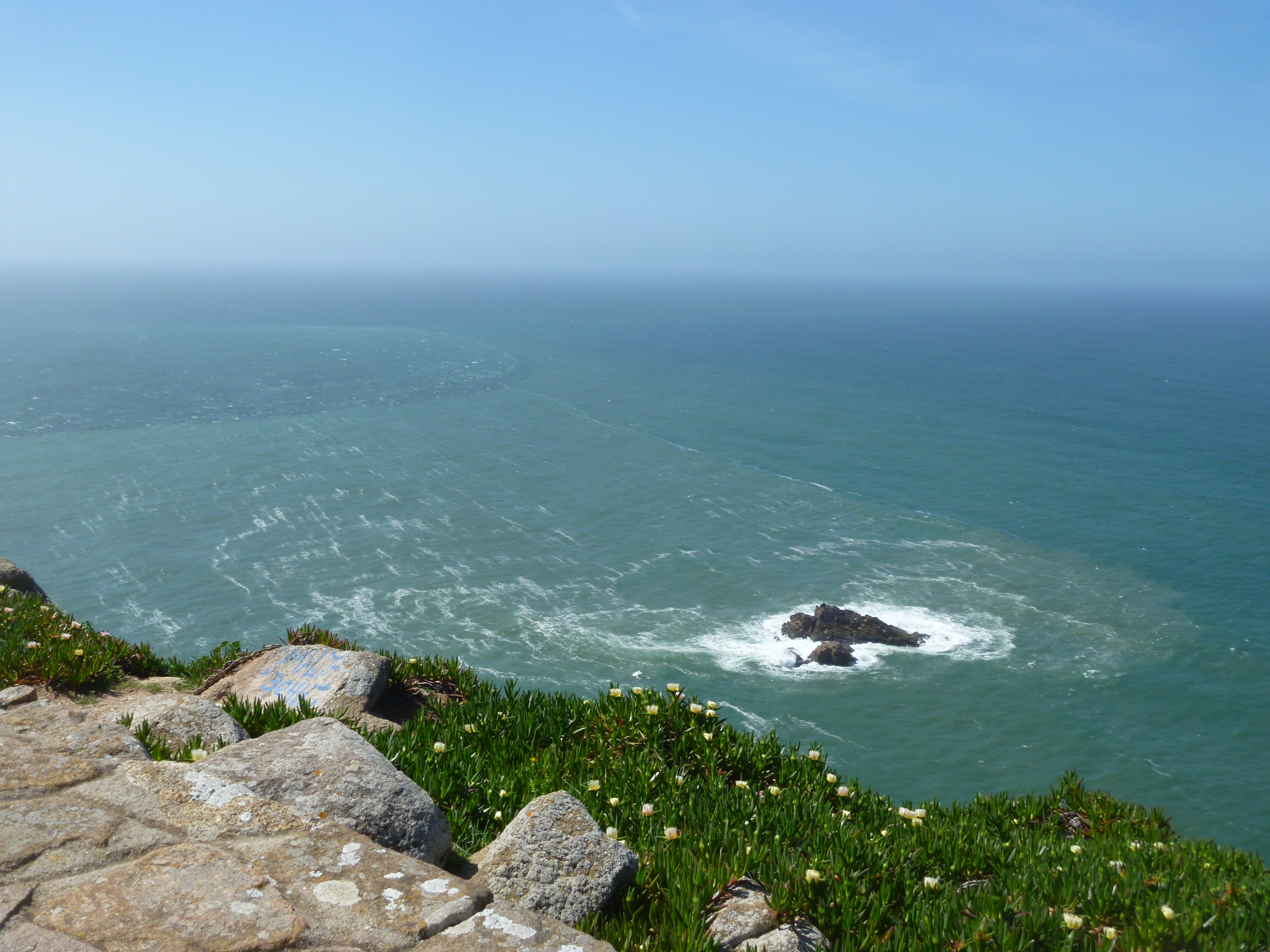
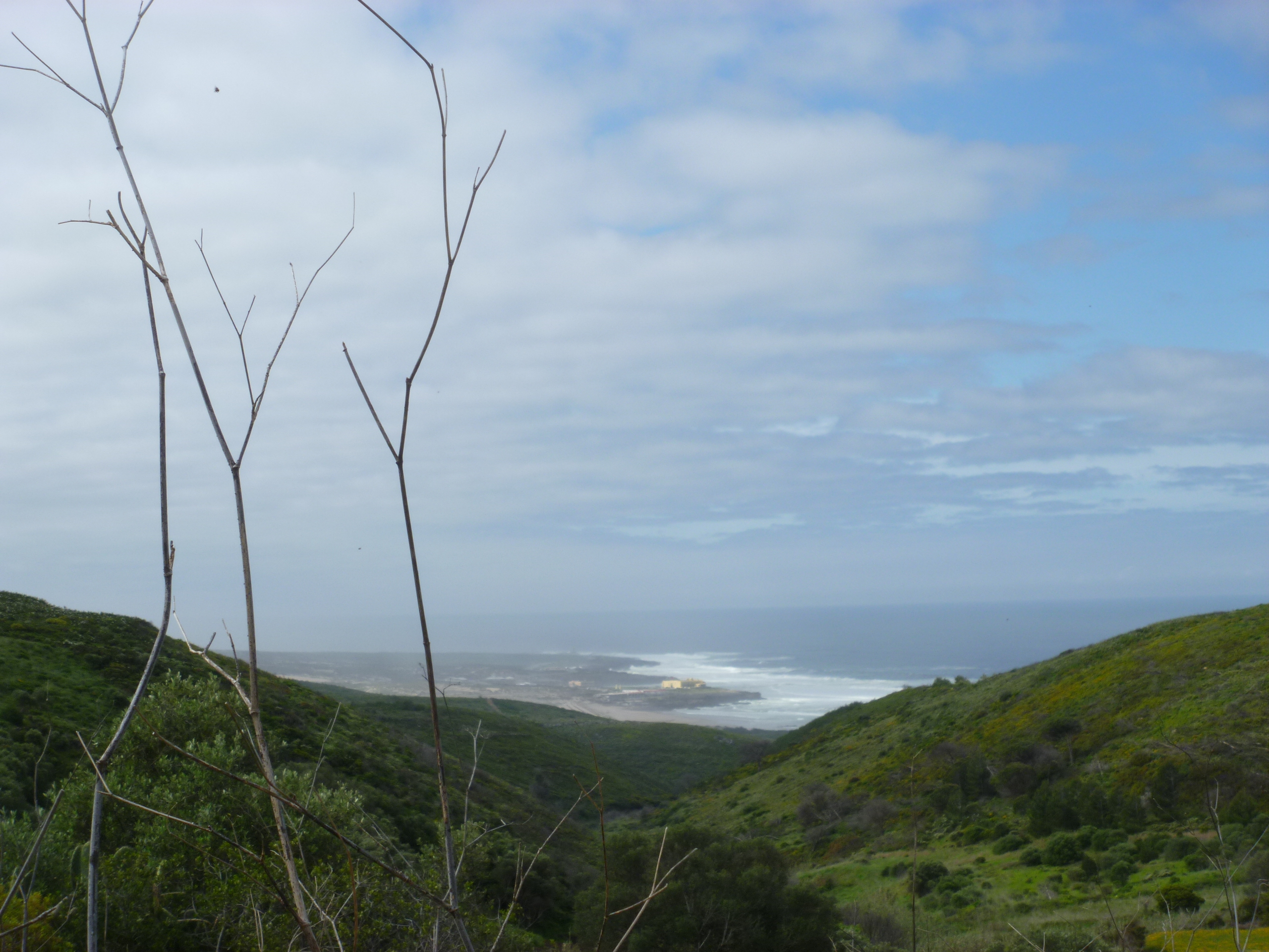
At first our route, on clearly marked paths, followed the coast northwards before turning inland and into the area known as The Serra de Sintra. There were some tough climbs but also some great views.

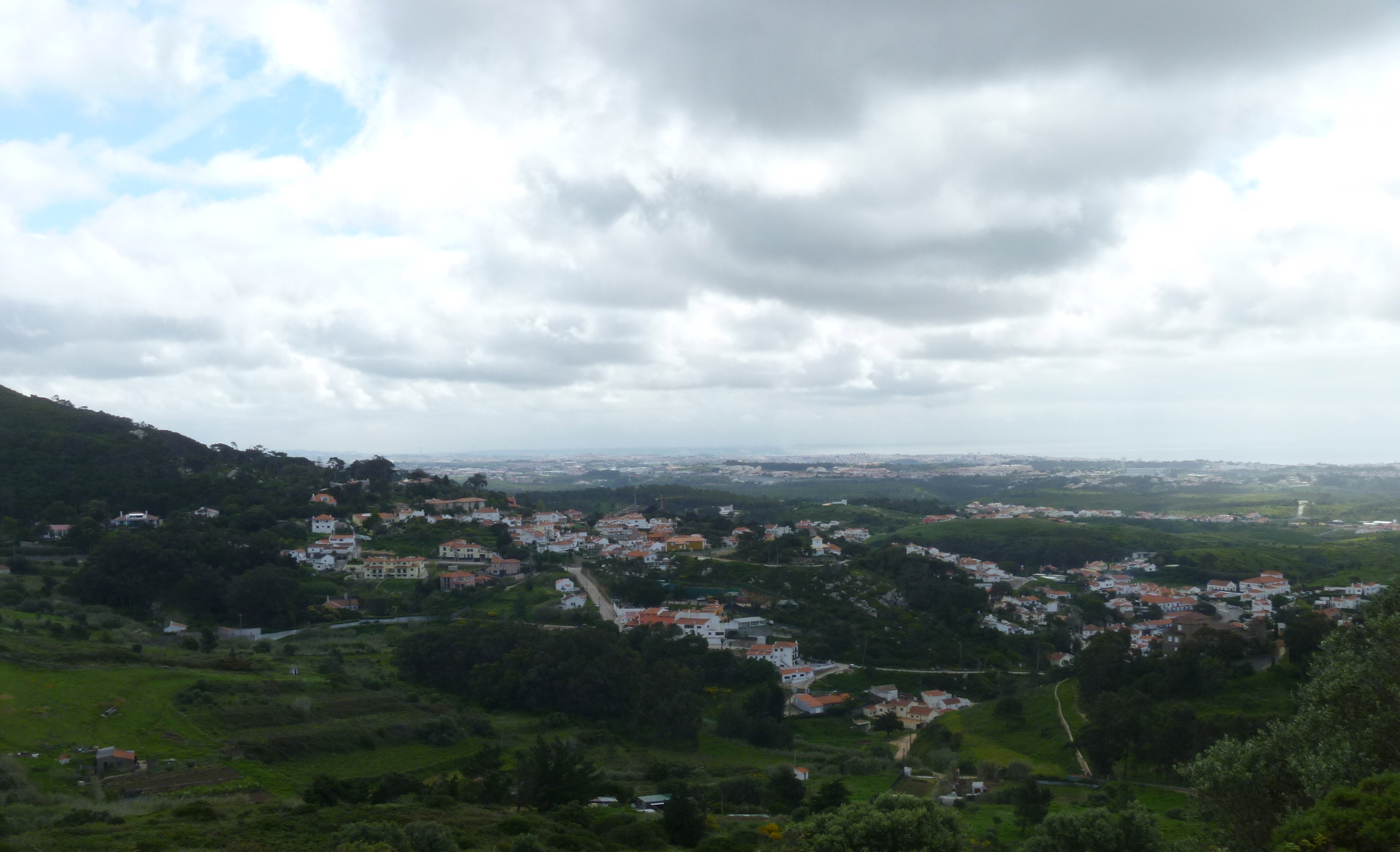
After the first tough climb we could see the River Tagus and 25 Abril Bridge

In another direction we could still see the coast and the Fortaleza
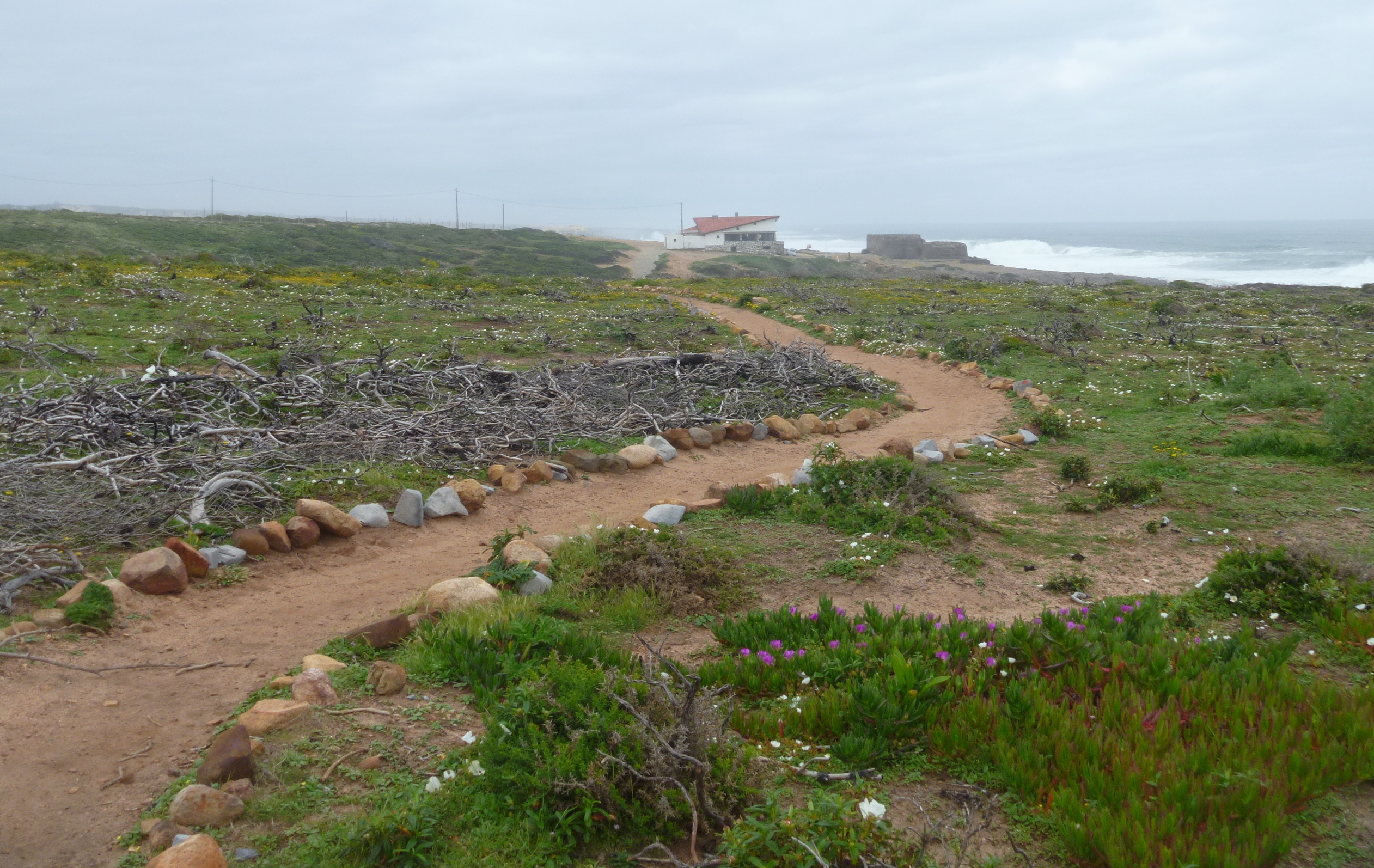
This area was the worst affected by the storms in January this year and consequently our path was disrupted at one point. This took some time to negotiate and calls/texts to Ana but eventually we got back on track. We’d hoped to reach The Convento at lunchtime but in fact we ate our picnic lunch a few miles before.

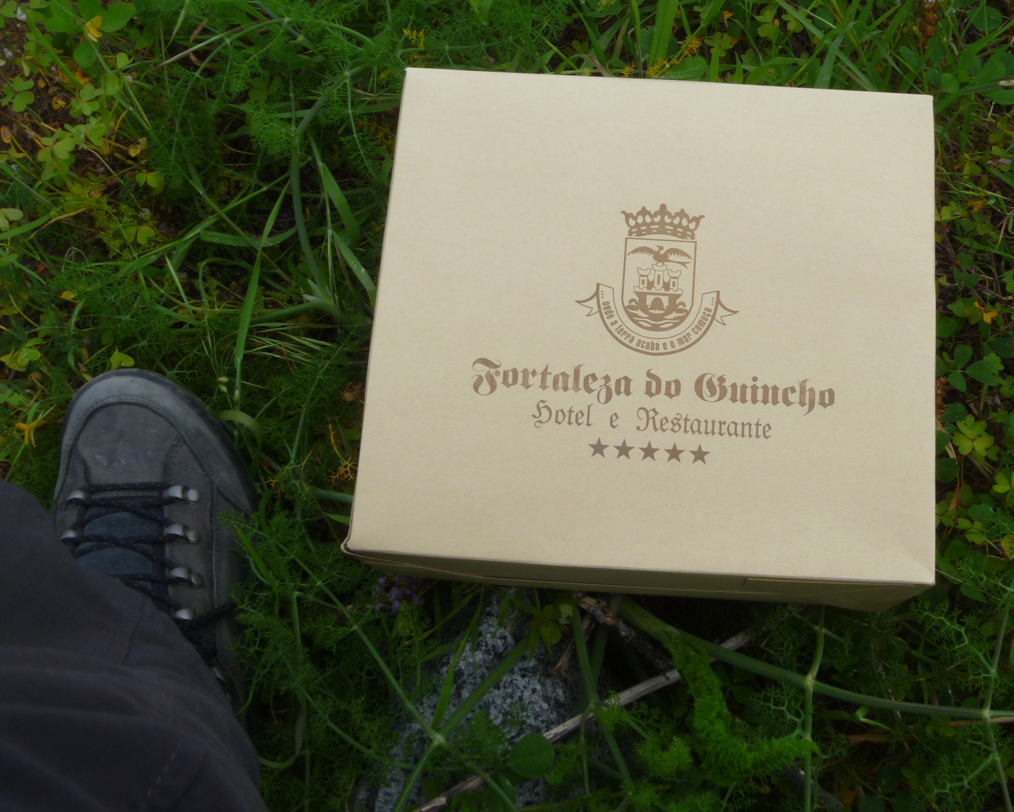
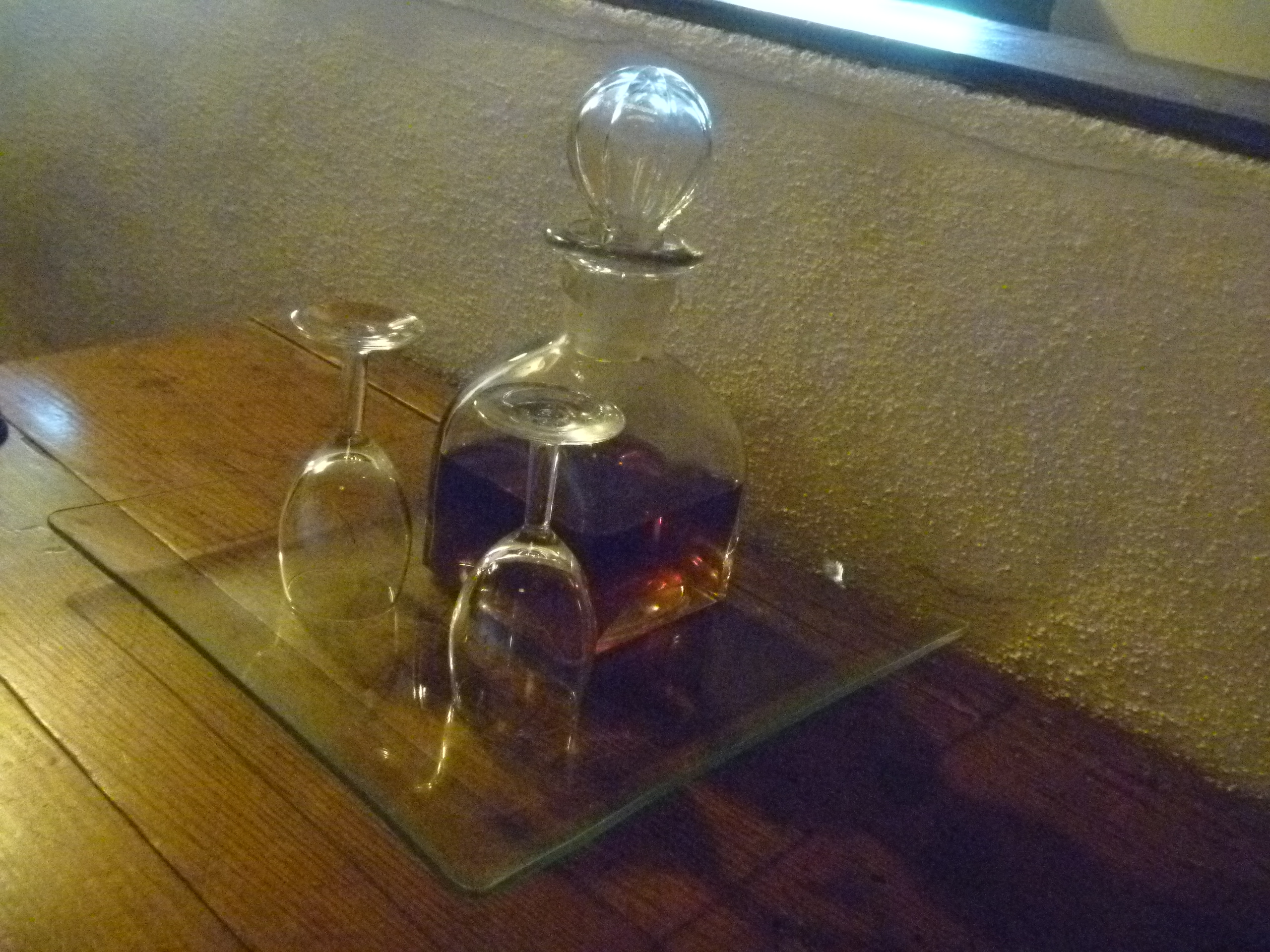
Our Five Star Picnic lasted us Three Days!!
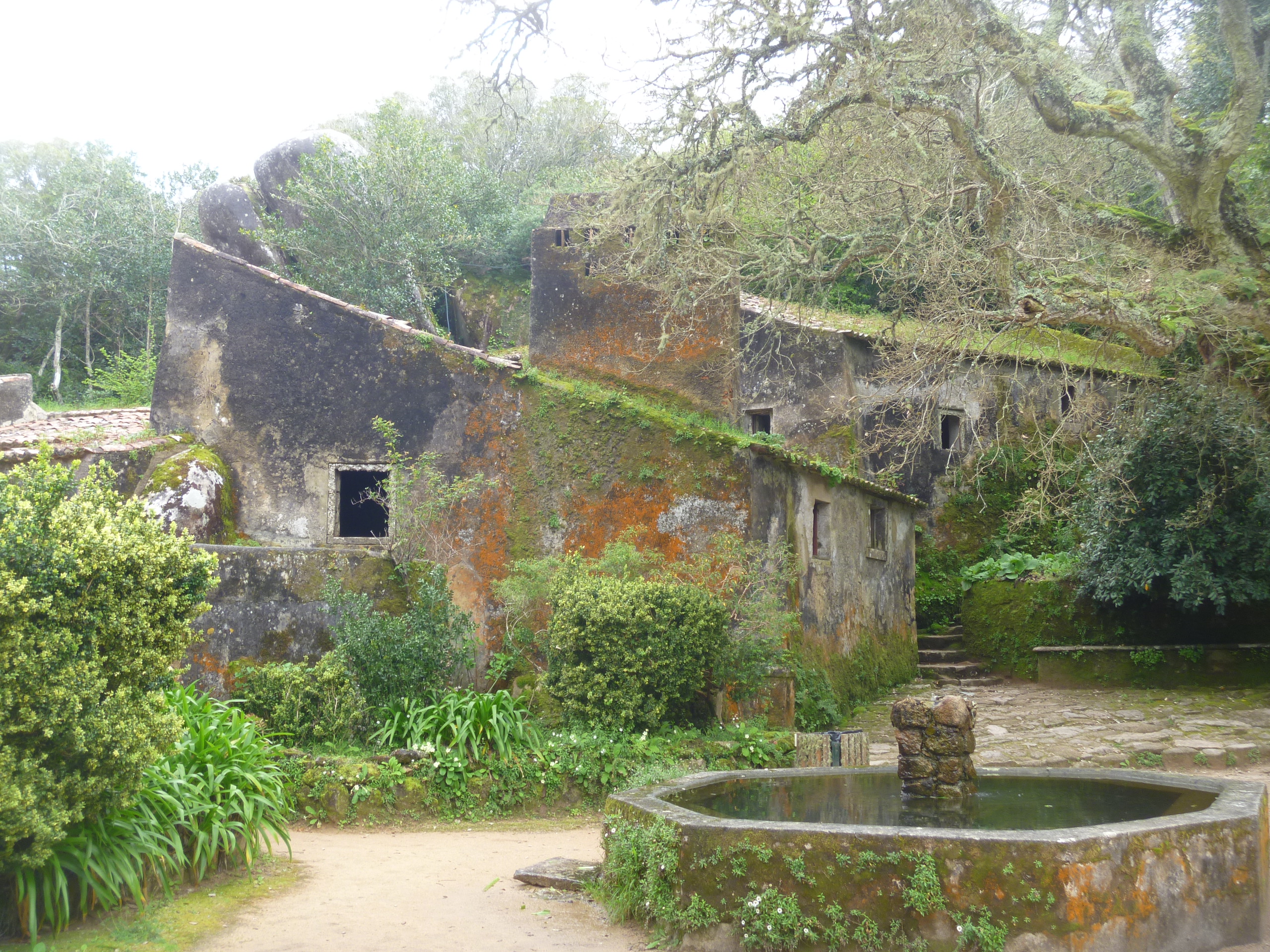
The Convento dos Capuchos dates back to 1560. It was built by Don Alvaro de Castro as a Franciscan monastery. The Capuchins were a minor ‘hooded’ order. It was built in accordance with the Franciscan (fulfilling the teachings of St Francis of Assissi) principles of living in harmony with nature. Mostly carved from the rock face, granite boulders are incorporated and cork was used as insulation, thus giving an alternative name ‘The Cork Monastery’. Here the monks lived a simple and holy life until the site was abandoned by them in 1834. The Portuguese state took responsibility for the site in 1949. Why it is called a Convento and not a Mosteiro (monastery) I have no idea!
Views of the Convento Dos Capuchos

At the Entrance – there’s also a Nature Trail, but we didn’t have time to complete it.

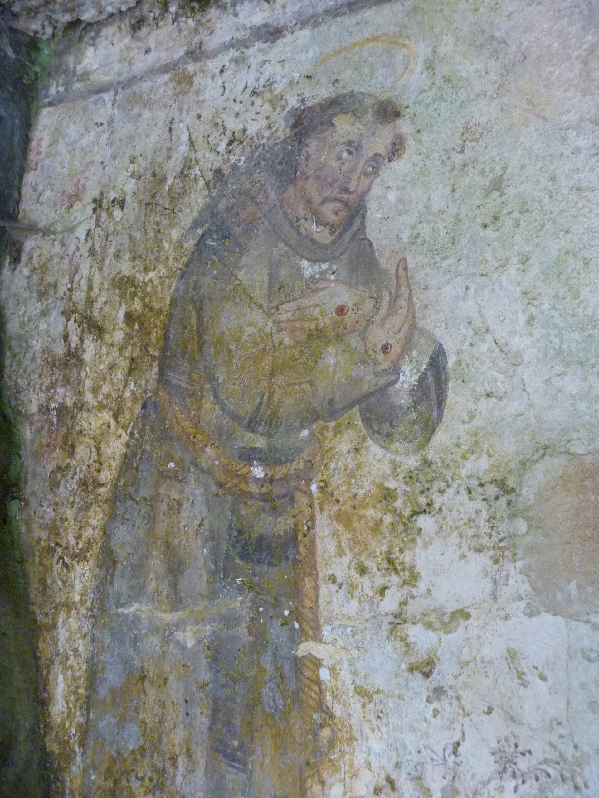
Wall Painting of St Francis

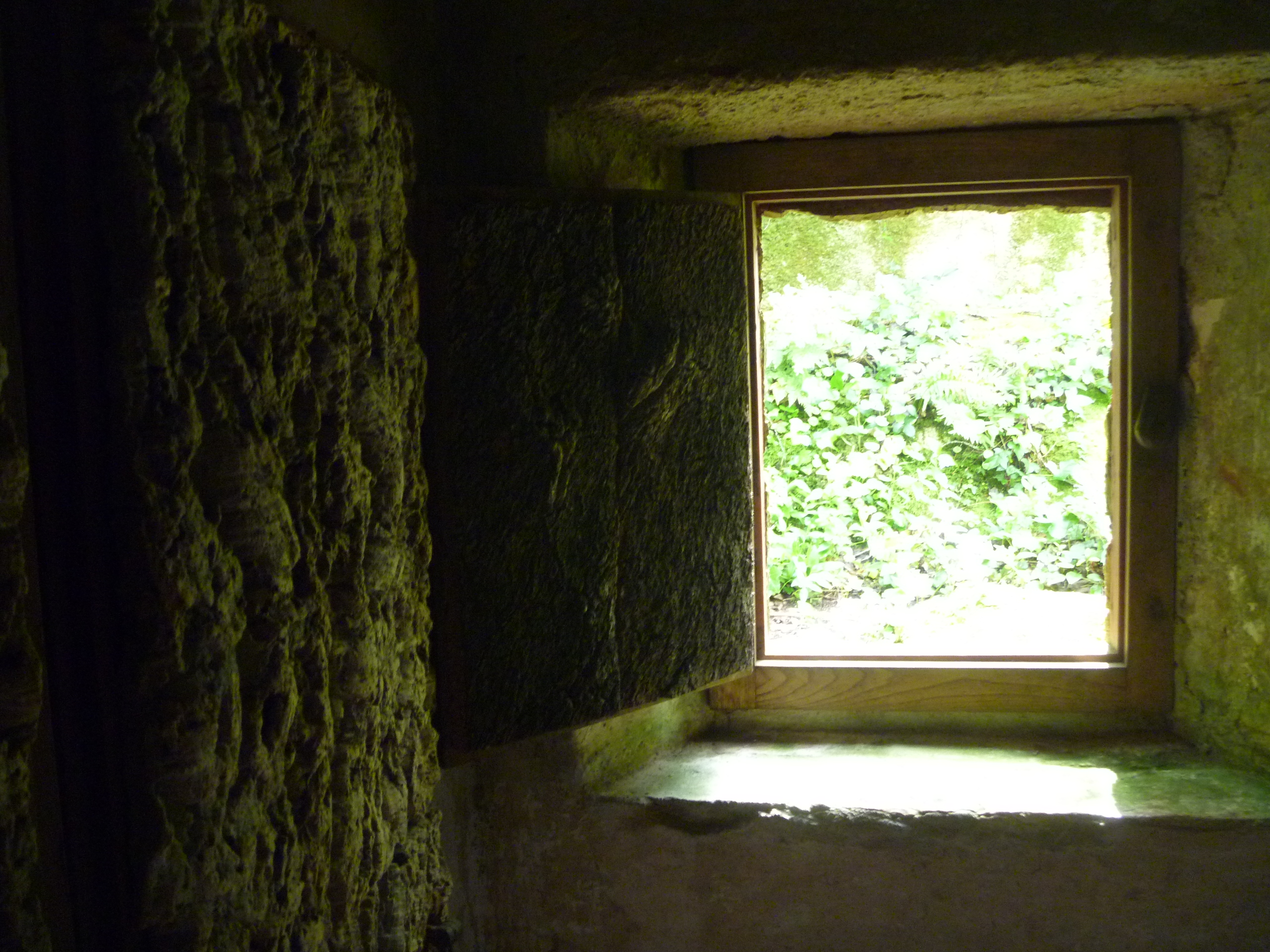
The very low doorways (indicating humility) into the tiny cells (the floor lighting guides our way)

Small Cell Windows and Cork-Insulated Walls

The Cloister

A Cork Oak still grows in the Cloister
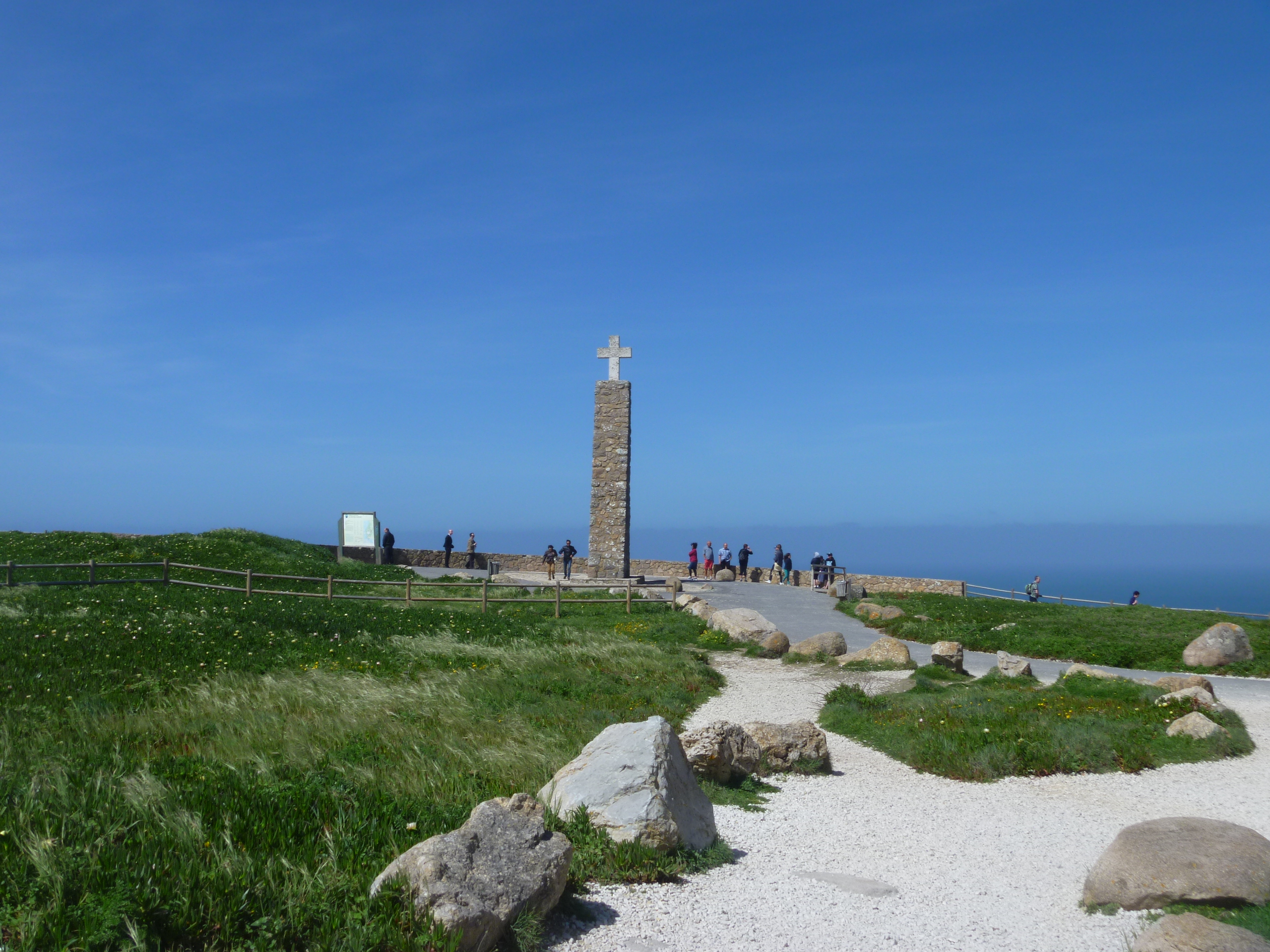
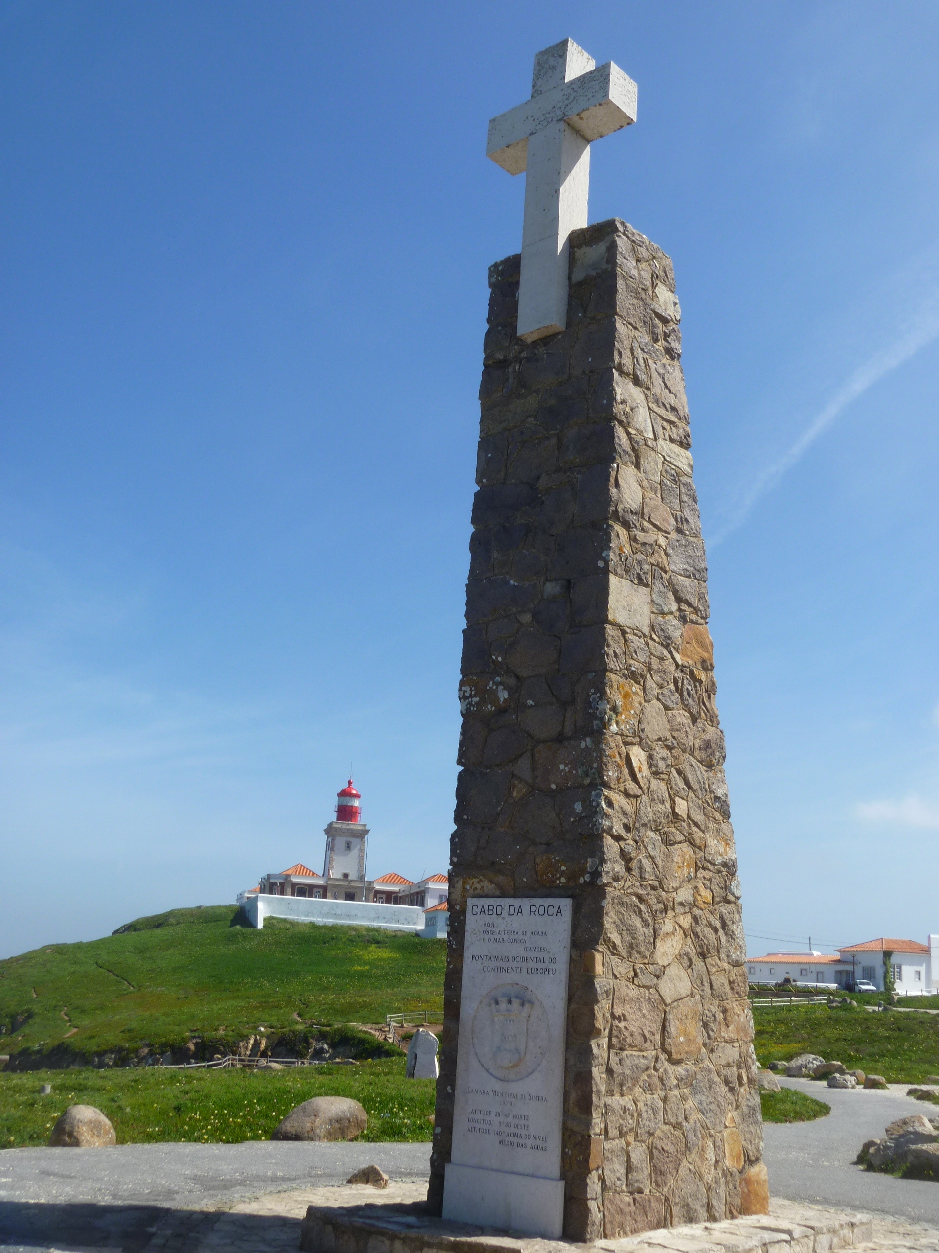
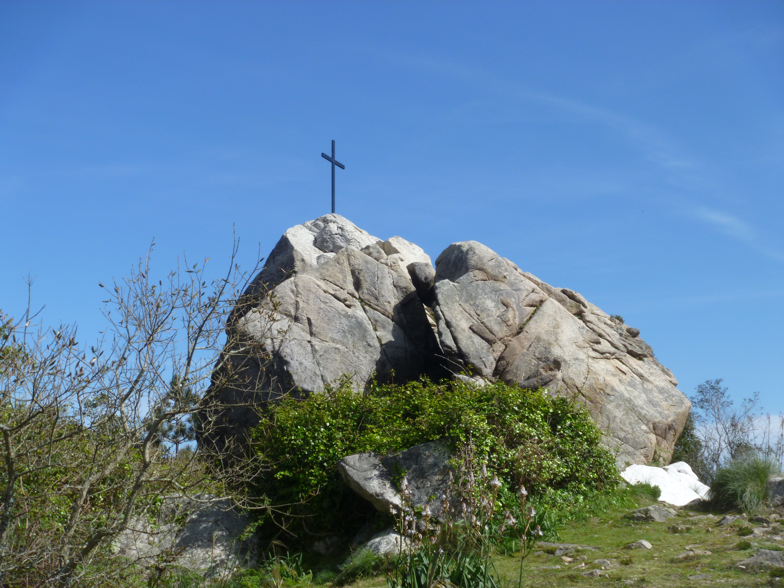
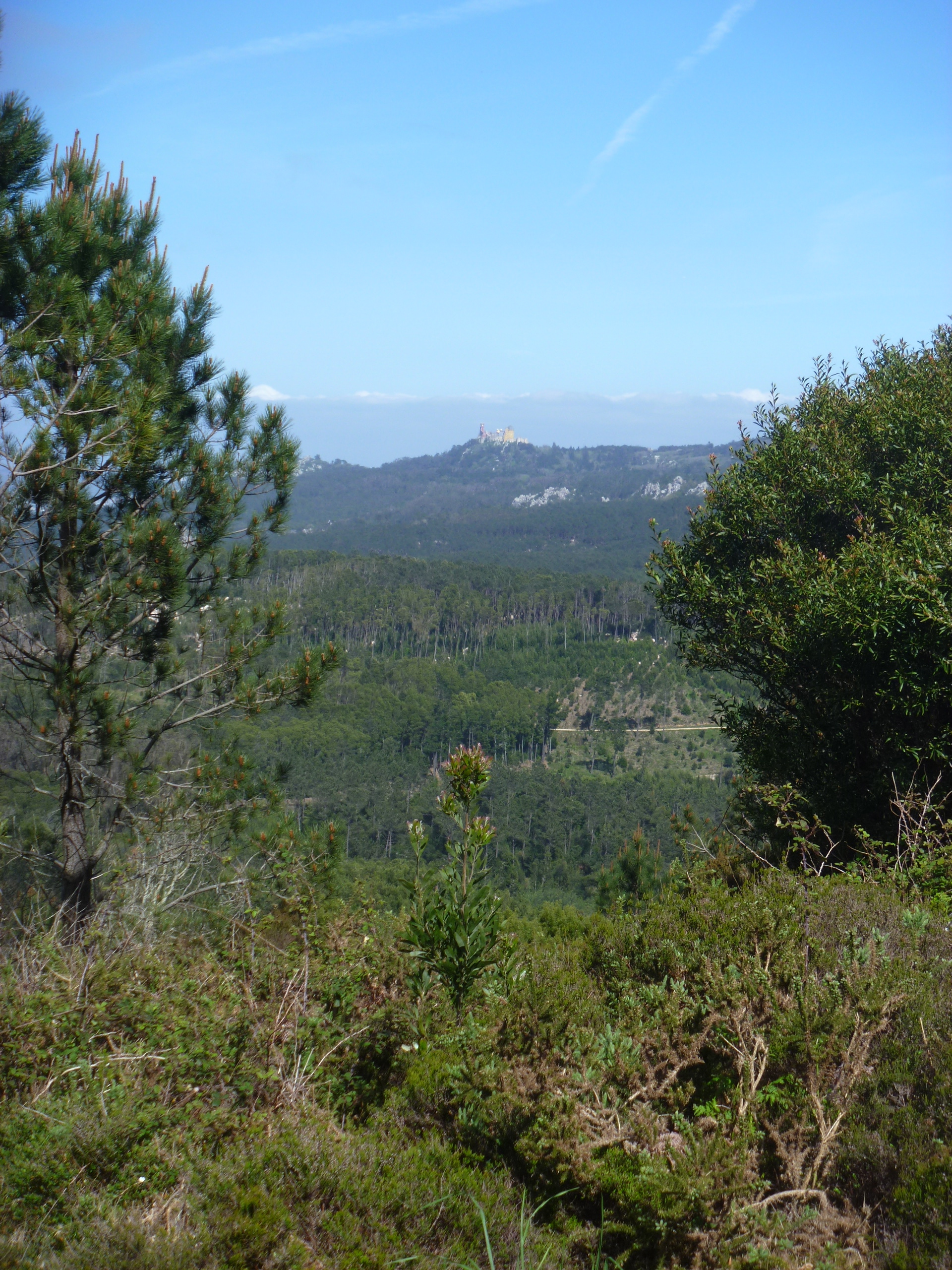
Leaving the Convento around 4pm we still had a lengthy walk ahead of us, plus two further climbs. The first was to a memorial to 23 soldiers who were killed putting out forest fires in 1966. From the cross there are more stunning views – the Pena Palace magnificent in the distance.

Forest Fires Memorial to Servicemen

Pena Palace across the Serra
“Continue ahead uphill”. We got kind of used to reading this instruction!

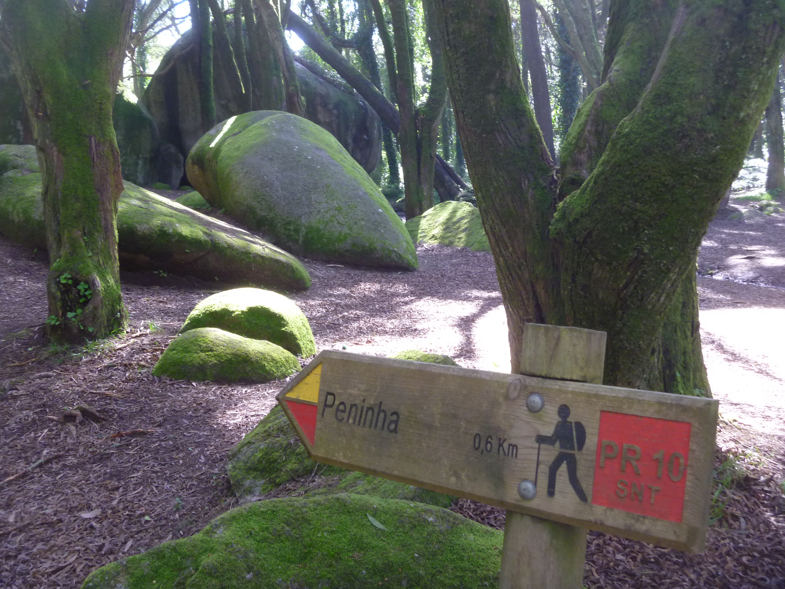
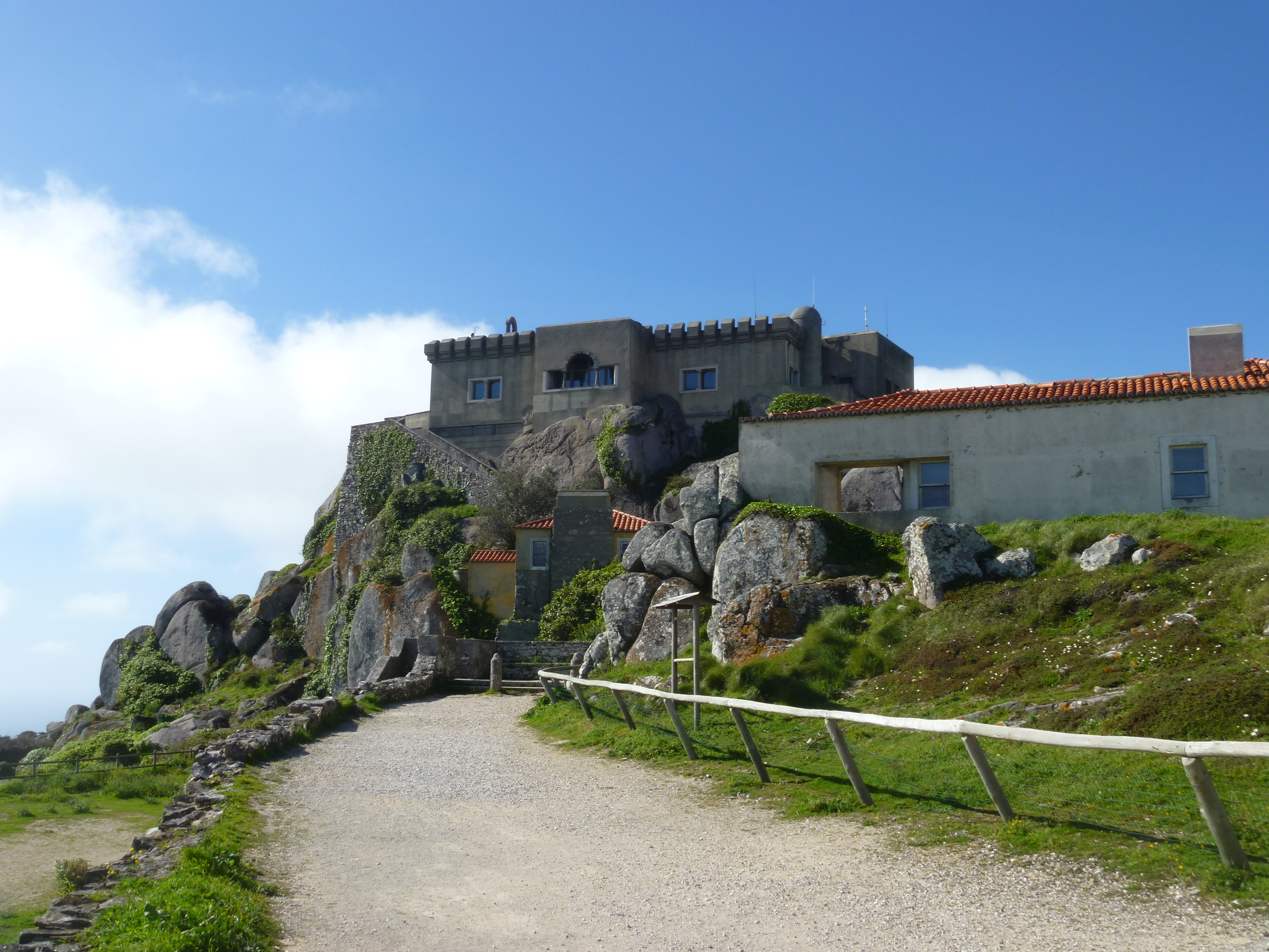
Onward and upward we continued until we reached the Peninha Chapel.

Unfortunately the chapel wasn’t open to the public but we read that the first building on the site was a chapel to Sao Saturnino in the 12th century and that the ‘new’ chapel was built in the 17th century and apparently contains beautiful blue and white azulejos (tiles) depicting the life of Mary.


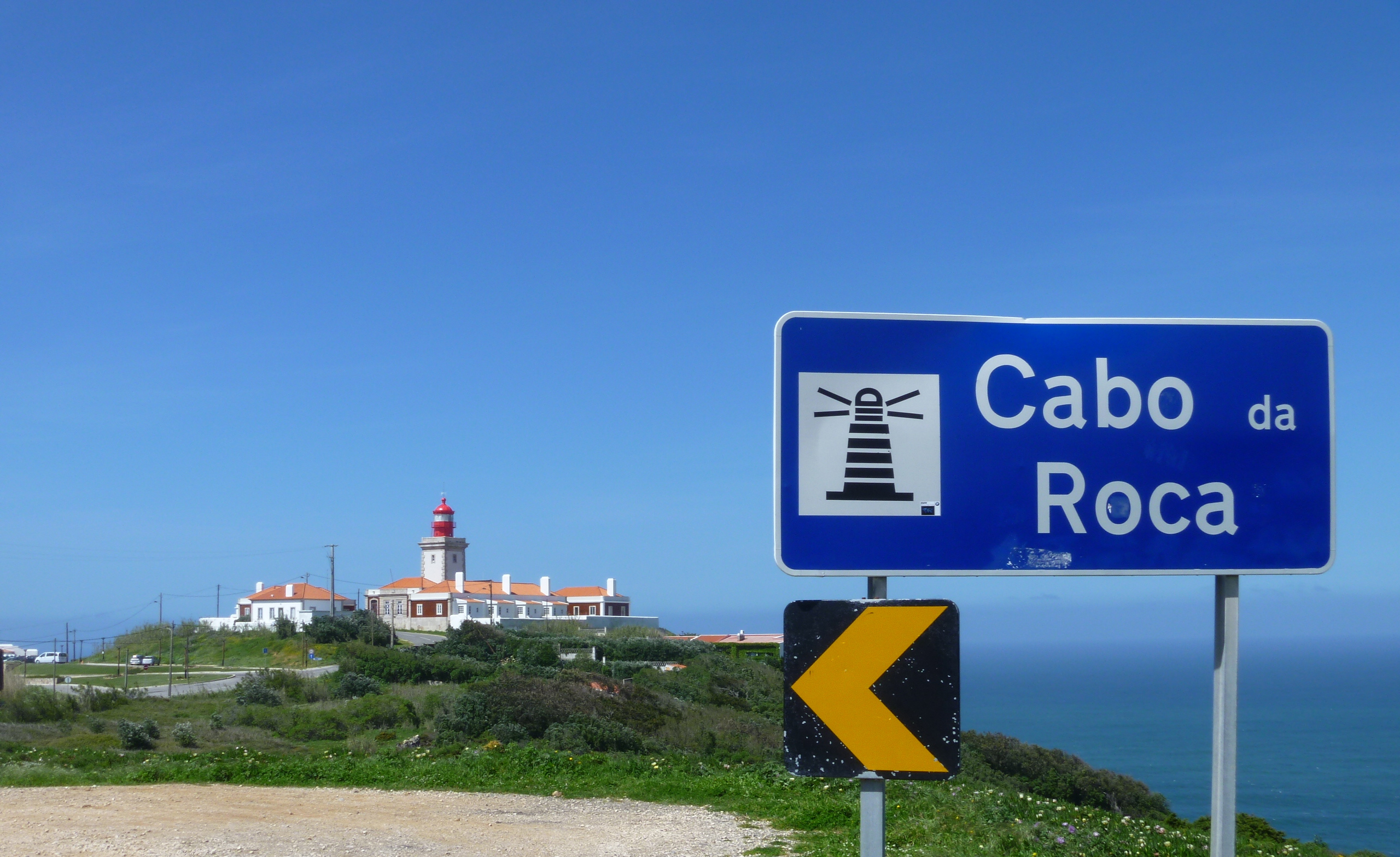
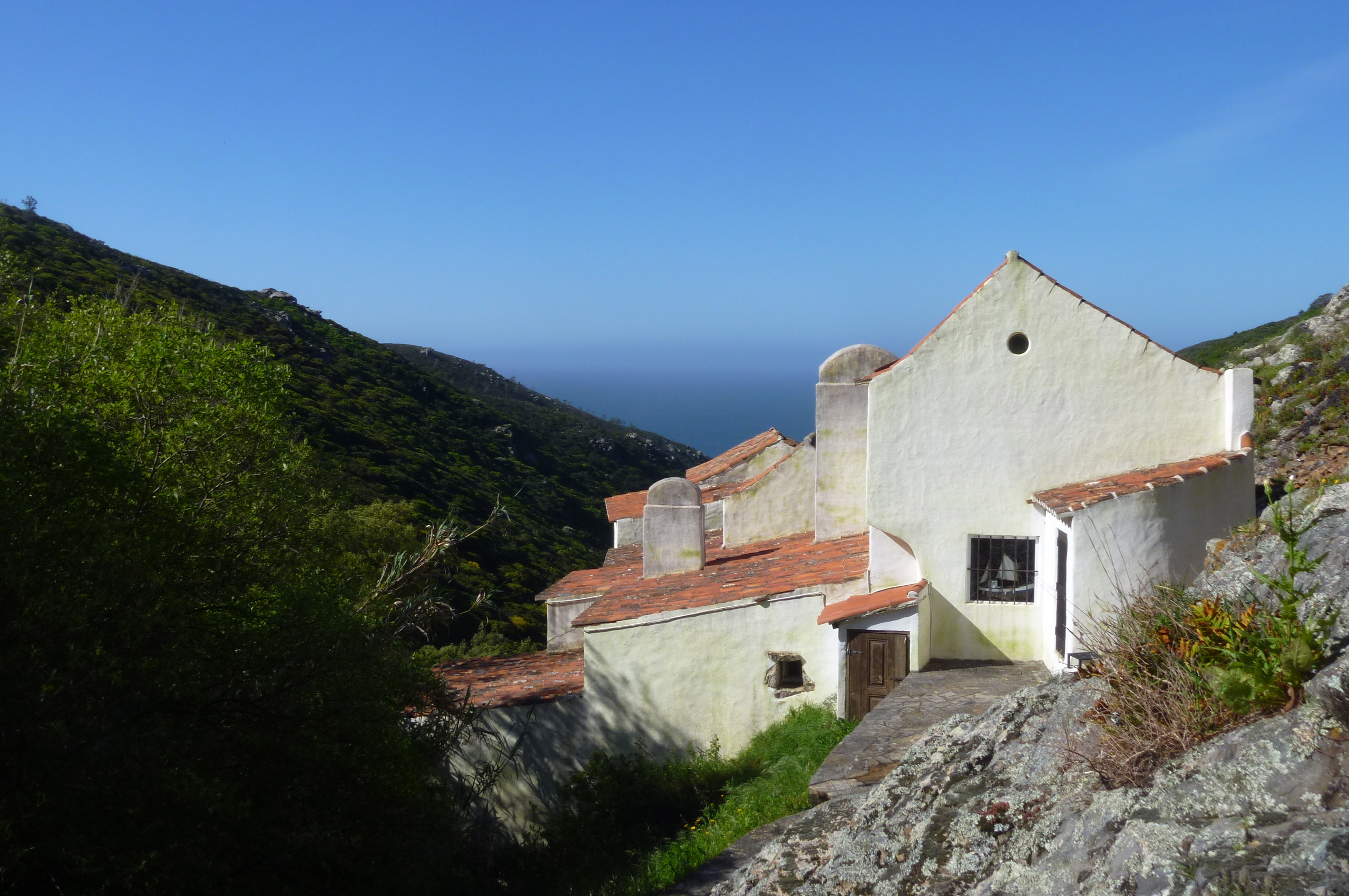
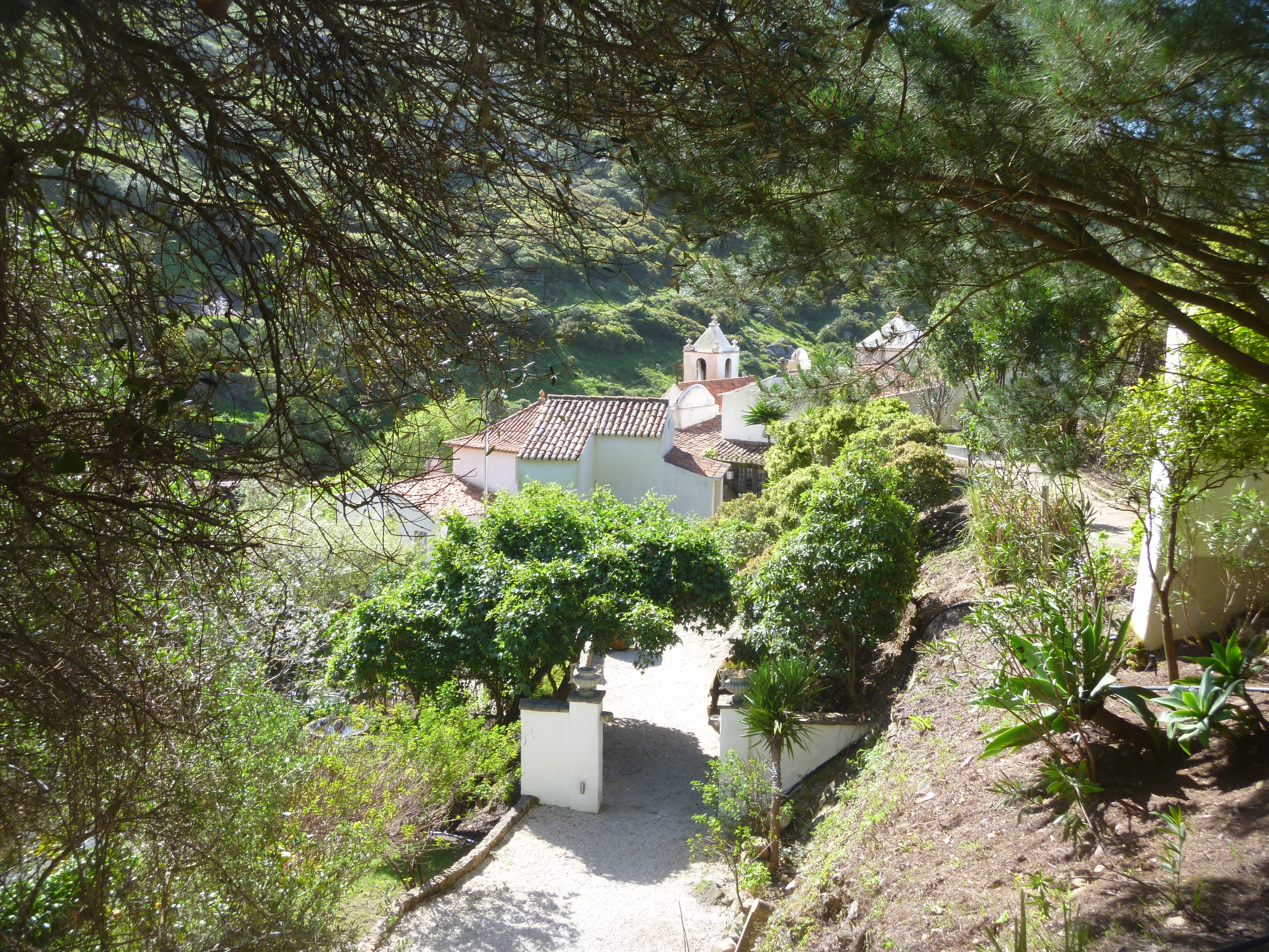
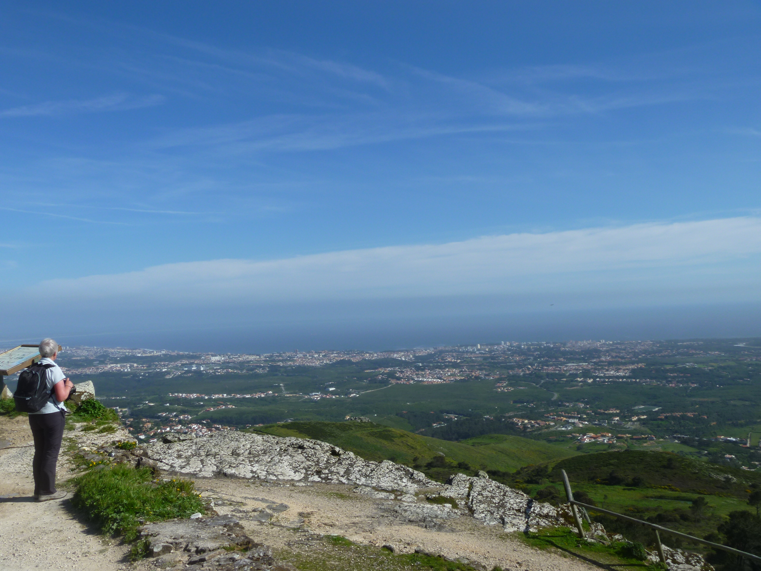
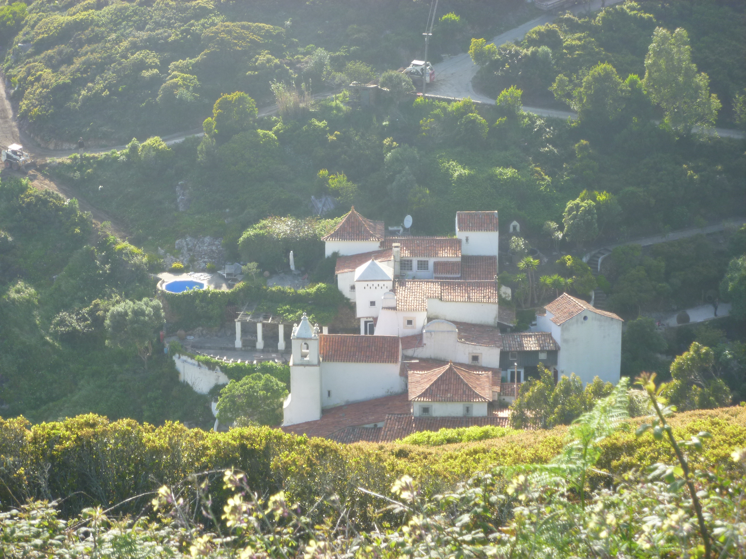
Again, we had magnificent views of the coast and towards the River Tagus and Lisbon. From the Peninha it was practically downhill all the way and finally, we caught a first glimpse of our destination – The Convento Sao Saturnino nestling a valley with views of the sea.

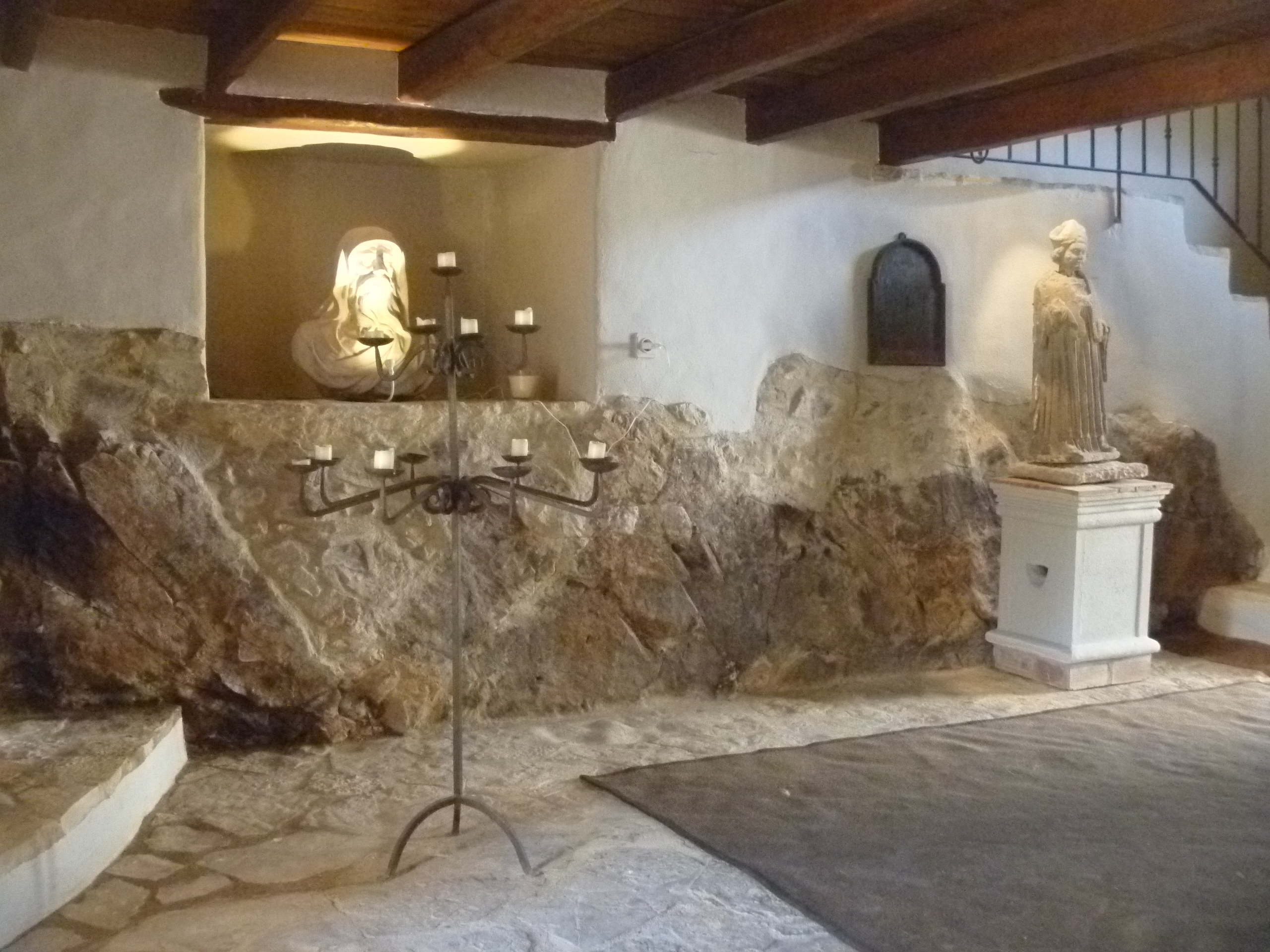
We arrived just in time for dinner – there’s a welcoming tray in the bedroom for revival of the spirits!