

Maps : Left : Germany (highlighting the Rügen area in yellow) Right : The Rügen Area

The Zicker Alps in the furthest southeast corner of Rügen
One of Bärbel’s favourite walks is the Zicker Alps. What “alps” means in this particular context is an area of land slightly higher (say, about 68m ASL) than the surrounding area. I’d asked QB to investigate a few walks which I thought would give us a flavour of the island, which is predominantly rural, and, as I’ve mentioned before “The Best Way to See the World is on Foot!”


Setting Off
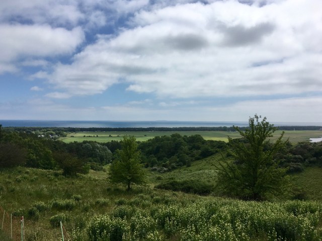
We parked up just outside Gross Zicker and climbed gently up a grassy footpath with masses of wild flowers on all sides with shrubby bushes and soon levelling out with views south to the Klein Zicker peninsula and the Zicker See and soon we reached the high point and viewing platform. This whole area forms one of the 15 Biospheres in all of Germany.
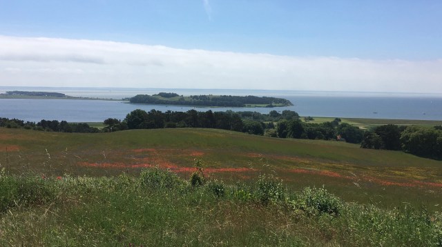
Klein Zicker from Viewpoint
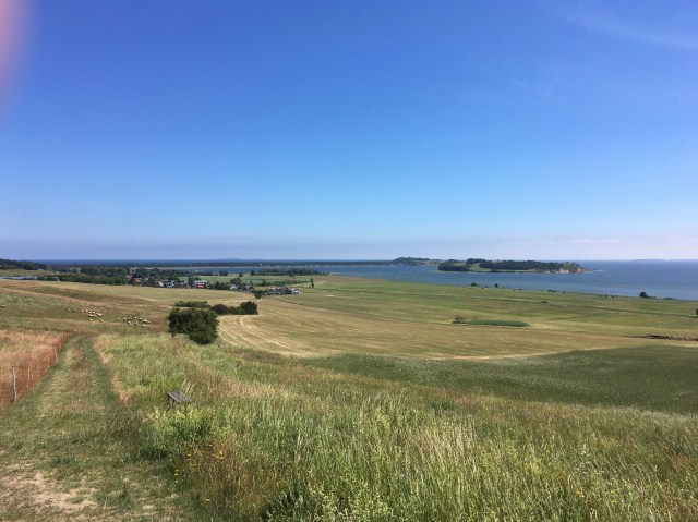
We took a broad sandy and at times grassy path across open, shrubby pasture with views to all sides. In a shady area we decided to have lunch.
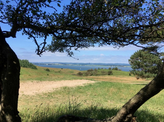
View north from our lunch spot

Loved this view of sheep trying to shelter under the shade of a tiny tree.

Eventually we arrived in woods with where a path lead to steps down to a narrow strip of beach.

After the beach it was a long, slow downward path to reach the village of Gross Zicker where we flopped into the first hotel we came to and ordered tea and tart.
Approaching Gross Zicker

The rest of the walk was along the long main (only) village street where there are lots of beautiful houses – many are holiday homes – plus a small ‘museum’ the former home of a pastor’s wife and a glorious little church.


The Museum

The Little Church in Great (Gross) Zicker


The rather gloomy “Nonnenloch” path [see comments]

“Tea and tart” indeed. What I’d like to add is that the place where the path leads down to the sea is called the nun’s hole but we couldn’t find an explanation for that peculiar name.
Somehow when sifting through my photos I guessed you would notice my omission. I have now added the ‘rather gloomy’ photos that I took!
So pretty! I have never been to the Alps (flew over ’em once, they were very snowy!), and as usual your motto “The best way to see the world is on foot!” is profoundly spot on! I never saw pictures of this countryside at walker’s intimate view like these before, and am enchanted. Dare I imagine that it might really be as beautiful as England? Oh surely not!
Well, these “Alps” were not alps at all just slight hills but the highest land on the flat island, Diana. To be honest, many places on Rügen reminded me of England.
[…] the end of our hike on the Zicker Alps and through Gross Zicker we came across the delightful little village church. We’d decided […]