Cabo da Roca or Promontorium Magnum : The Edge of the World

The highlight of the next day’s walking was to visit the Cabo Do Roca – the westernmost point of the European mainland. Called Promontorium Magnum by the Romans and before the Age of the Explorers was thought to be the Edge of the World.

Cabo da Roca sign

But before heading off on the next sector of our walk we spent a relaxing morning at The Sao Saturnino. Breakfast isn’t served until after 9am and we also wanted to wander around the maze of buildings and the gardens. Here are some pictures of this beautiful location.

Entrance Saturnino

Sao Saturnino Entrance

Saturnino library

Sao Saturnino Library

Convento sea views

Sea Views from The Sao Saturnino

Leaving the C da SS

Leaving The Convento da Sao Saturnino

So, late morning we headed off from the Convento, through the village of Azoia, to the Cabo da Roca. “The phrase that is most attached to this outcrop is ‘where the land ends and the sea begins’ which was coined by Luis de Camoes, the 16th century Portuguese poet.” [Route Brochure].

Approaching Cabo da Roca

Approaching the Cabo da Roca

Cabo da Roca

Cabo da Roca

Cabo de Roca Monument

The Monument at Cabo da Roca

Cabo da Roca sign

What it says on the Monument

The Atlantic Ocean at Cabo da Roca

The Atlantic Ocean at Cabo da Roca

The Lighthouse at Cabo da Roca

The Lighthouse at Cabo da Roca

The lighthouse was built in 1772 and stands 144 metres above the cape which itself stands 140 metres above sea level.

Our paths continued, with some diversions due to the January storms, mostly along the coastline to the famous Praia Grande. PG is one of the largest stretches of sandy beach on the Portuguese coast. The name means Big Beach and is extremely popular  with surfers all year round. Our hotel was perfectly situated right on the beach and our room overlooked the pounding waves and the hotel’s huge 100 metre swimming pool.

Arribas Hotel

Along the Way – Convents

If our first day’s walking, now that I look back, was on a theme of Forts then the next day was on a theme of Convents. This was our longest day walking: over 12 miles. We left the Fortaleza after breakfast (and a personal farewell from the manager) at 9.30am and only arrived at our destination that evening at 6.30pm. Of course, we didn’t spend the whole day walking, there were several places to visit along the way, not least The Convento dos Capuchos, where we spent well over the ‘designated’ one hour suggested in our Route Booklet. The Convento (read more about it here) was the first location within the Cultural Landscape of Sintra – a UNESCO World Heritage site first designated in 1995 – on our itinerary.

Our coastal path

Clearly marked coastal path

At first our route, on clearly marked paths, followed the coast northwards before turning inland and into the area known as The Serra de Sintra. There were some tough climbs but also some great views.

Viewpoint

After the first tough climb we could see the River Tagus and 25 Abril Bridge

Still see Fortaleza

In another direction we could still see the coast and the Fortaleza

This area was the worst affected by the storms in January this year and consequently our path was disrupted at one point. This took some time to negotiate and calls/texts to Ana but eventually we got back on track. We’d hoped to reach The Convento at lunchtime but in fact we ate our picnic lunch a few miles before.

5 star picnic

Our Five Star Picnic lasted us Three Days!!

The Convento dos Capuchos dates back to 1560. It was built by Don Alvaro de Castro as a Franciscan monastery. The Capuchins were a minor ‘hooded’ order. It was built in accordance with the Franciscan (fulfilling the teachings of St Francis of Assissi) principles of living in harmony with nature. Mostly carved from the rock face, granite boulders are incorporated and cork was used as insulation, thus giving an alternative name ‘The Cork Monastery’. Here the monks lived a simple and holy life until the site was abandoned by them in 1834. The Portuguese state took responsibility for the site in 1949. Why it is called a Convento and not a Mosteiro (monastery) I have no idea!

Views of the Convento Dos Capuchos

Capuchos sign

At the Entrance – there’s also a Nature Trail, but we didn’t have time to complete it.

St Francis

Wall Painting of St Francis

Tiny doorways to cells

The very low doorways (indicating humility) into the tiny cells (the floor lighting guides our way)

Small windows

Small Cell Windows and Cork-Insulated Walls

Cloister

The Cloister

Cork oak

A Cork Oak still grows in the Cloister

Leaving the Convento around 4pm we still had a lengthy walk ahead of us, plus two further climbs. The first was to a memorial to 23 soldiers who were killed putting out forest fires in 1966. From the cross there are more stunning views – the Pena Palace magnificent in the distance.

Memorial

Forest Fires Memorial to Servicemen

Pena Palace in the distance

Pena Palace across the Serra

“Continue ahead uphill”. We got kind of used to reading this instruction!

Yet more climbing to do!

Onward and upward we continued until we reached the Peninha Chapel.

Peninha

Unfortunately the chapel wasn’t open to the public but we read that the first building on the site was a chapel to Sao Saturnino in the 12th century and that the ‘new’ chapel was built in the 17th century and apparently contains beautiful blue and white azulejos (tiles) depicting the life of Mary.

View from Peninha

Tagus view from Peninha

Again, we had magnificent views of the coast and towards the River Tagus and Lisbon. From the Peninha it was practically downhill all the way and finally, we caught a first glimpse of our destination – The Convento Sao Saturnino nestling a valley with views of the sea.

Convento da Saturnino

We arrived just in time for dinner – there’s a welcoming tray in the bedroom for revival of the spirits!

Nice feature in the room

The Best Way to See the World is on Foot! Sintra and The Portuguese Coast Footloose Holiday

ATG bus

In June last year my sister and I took our first ATG Footloose Holiday in Alsace. We were so impressed with the organisation and our own walking ability that we decided to book an even longer trip this year. We spent last week in Portugal doing the Sintra and Portuguese Footloose Walk.

Here is the text of the itinerary!

Cascais sea front

Cascais Beach and Sea Front

“Day 1 • Arrive in Cascais. A fashionable resort with a marina, smart shops, elegant restaurants and one of the best (and cleanest!) surfing beaches in Europe.”

Boca do Inferno

Boca do Inferno [Mouth of Hell] (between Cascais and Guincho)

Day 2 • Cascais to Guincho. An outstanding walk along the coast, passing lighthouses and fascinating cliff formations with dramatic coastal views, to Guincho Beach, one of Portugal’s best windsurfing locations (6.5 miles, 3.5 hrs).”

View from Peninha

View from Peninha

Day 3 • Guincho to Azoia. Follow coastal paths before heading inland into the Serra de Sintra. Opportunity to visit the interesting Convento dos Capuchos (Capuchin monastery) (+2 hrs), before returning through the Serra up to the spectacularly situated 14th century Peninha Chapel. Paths then lead down to your hotel near the coast (4.9 or 11.7 miles, 3 or 6 hrs).”

Cabo da Roca

Day 4 • Azoia to Praia Grande. A cliff-top walk with spectacular views leads to Cabo (Cape) da Roca, the most westerly point of Portugal – and mainland Europe. Continue inland through the vineyards of the famous ‘Colares’ wine before returning to the coast and past dramatic cliff formations to the beach of Praia Grande, with its world- famous swirling waves (7.2 miles, 4 hrs).”

Azenhas do Mar

Azenhas do Mar

Mamede

The Church of Sao Mamede

Day 5 • Praia Grande to Colares. Continue along the coast to the small seaside resort of Azenhas do Mar, with its pretty whitewashed houses perched on a cliff. From here the coastal path continues, past more fine beaches, then heads inland to the curious church of São Mamede, ‘protector of the animals,’ which were freely allowed to enter the chapel until recent times. Minor roads then lead to Colares, famous for its wine (6.9 or 9.9 miles, 3 or 4.5 hrs).”

Monserrate

Monserrate Palace and Gardens

Day 6 • Colares to Sintra. Walk through small hamlets and vineyards before joining wide forest paths passing through the Serra to the ‘Romantic’ Palace of Monserrate, with exotic gardens and follies. Continue through the Serra and a short section of road brings you to the arch of the old west entrance to Sintra (6.9 miles, 3.5 hrs).”

Sintra from the Moorish Castle

Sintra from the Moorish Castle

Day 7 • Free day in Sintra. Described by Byron as a ‘glorious Eden’, and boasting UNESCO World Heritage status, Sintra is a visitor’s paradise, with magnificent palaces, gardens, galleries, churches, museums, and cobbled, medieval streets lined with boutique shops and cafés.”

Ana at Lawrence's Hotel, Sintra

Ana Our Lovely Five Star Tour Manager at Lawrence’s Hotel, Sintra

A Wintry Winterburn Walk – on the first day of spring

Last October I attempted this walk but long stretches of very muddy footpaths put me off completing it. I suppose I walked about a third of the route and then diverted from it taking an alternative track to a tarmaced country lane back to the start. So I was delighted when this month’s Weekday Wanderers ‘leader’ told us we were going to do the Winterburn Reservoir Walk yesterday. There was every chance that the paths, although muddy, would be frozen so we would be able to complete the route without being too bogged down in mud.

Muddy moor lane

Our leader’s walk – although also extracted from the Yorkshire Post – followed the reverse route. Parking in Hetton in front of the Angel Inn, we headed along a quiet lane out of the village then we struck out across fields until we reached Friar’s Head House. A slight diversion was well worth it to see the front of this Grade 2* listed building which is now a farmhouse.

Friars Head 1

The manor of Winterburn was gifted to Furness Abbey during the 12th century. Nearby Winterburn Grange was the abbey’s administrative centre for the surrounding estates and Friar’s Head was supposedly a hunting lodge for the Abbots of Furness. The present building has a much later date however. After the Dissolution of the Monasteries a long dispute arose over Friar’s Head between its tenants under the Abbey, the Proctor family, and the Earl of Cumberland who tried to put his own tenants in. The three-storey house now at Friar’s Head was eventually built by Stephen Proctor around 1590. It is the most prominent example of a late Tudor gentry house in the Dales.”

Source : http://www.outofoblivion.org.uk/record.asp?id=237

The quiet Winterburn Lane leads to the village of Winterburn itself where we were delighted to see new born lambs in their pac-a-mac raincoats!

Lambs in Plastic Macs

Lambs in Plastic Macs

Latest style in plastic rainwear

The Latest Style in Rainwear!

Eventually we left the track to climb up to fields above the hamlet and we had wide views of the Cracoe Fell with its cross and war memorial (I have yet to walk that ridge).

Winterburn walk

Dropping down to the reservoir itself we had to negotiate the muddy paths before joining the long Moor Lane track back to the village of Hetton.

Winterburn res.

Winterburn Reservoir

Cracoe Fell from Moor Lane

Cracoe Fell from Moor Lane

Returning to Hetton

Returning to Hetton

We experienced freezing cold winds but lovely clear views of the fells covered with snow. Today we have as much snow in our garden! And to think, Easter is a week away and spring has already begun!

Snow today

Snow today!

The Ramblers’ Church, Lead, North Yorkshire

P1080600

Ramblers leaving the Ramblers’ Church

“Since being rescued by a group of walkers in 1931, St Mary’s has been known as the Ramblers’ Church. The repairs made then are recorded on the back of the church door.

Back of the door at Lead

The church stands alone in the middle of a field filled with the bumps and furrows of earthworks that indicate the site of a Medieval manor house, for which St Mary’s was probably originally the chapel.

In the middle of a field

Nearby is Towton, the site of the War of the Roses battle, believed to be bloodiest in English history which brought the Wars of the Roses to an end in 1461.

Battle of Towton

Battle of Towton Information Board, Crooked Billet Pub, Lead, North Yorkshire

Ten thousand men are said to have been killed, and Cock Beck, the little stream which you cross to get to St Mary’s, is said to have run red with blood. 

Cock Beck

Cock Beck

You can find monuments to crusading knights in this tiny 14th-century church.

Despite its awesome history, St Mary’s is a peaceful place. The tiny rectangular building is very simple. It was probably built by the Tyas family, whose massive grave slabs are set into the floor.

Massive grave slabs

The massive grave slabs

Carved with heraldic symbols and inscriptions, and dating from the 13th-century, they are an important and interesting collection.

Pulpit and altar

Pulpit, Clerk’s Pew and Reading Desk and Altar

Later additions were made to the church in the 18th-century, with a rustic pulpit, clerk’s pew, reading desk and painted texts.”

From the Churches Conservation Trust website.

Interior St Mary's Lead

Interior of the Ramblers’ Church

Richard III wondow

Window behind the Altar paid for by the Richard III Society – topical!

Today I have been out in the Yorkshire countryside. Weekday Wanderers headed east of Leeds to the flat countryside between Leeds and York. Flat but not uninteresting. Parking in Aberford we crossed the A1M by footbridge and eventually after a while left the noise of the highway behind and crossed fields and followed easy tracks on a circular walk that included a ‘castle’, a village, two churches and two pubs. We stopped at one of the pubs for our picnic lunch and had a look at one of the churches – St Mary’s, Lead, The Ramblers’ Church. We were not quite on the Battlefield of Towton, mentioned above, but we did return to the cars alongside Cock Beck. The perfect winter ramble.

The ‘castle’ was Hazlewood Castle now a very popular luxury hotel and wedding venue. Originally owned and lived in by the Vavasour family from 1971 until 1996 it was a Carmelite Friars’ retreat and opened as a hotel in 1997.

Hazelwood Castle

Hazlewood Castle

Saxton Church

All Saints Church, Saxton

The Greyhound, Saxton

The Greyhound Pub at Saxton

Crooked Billet

The Crooked Billet Pub, Lead near Saxton North Yorkshire

Muddy boots welcome

Muddy boots welcome! The sign of a good pub!

A Dam Busters Walk and A Damn Good Lunch

Our younger son lives in Sheffield so we arranged to go Christmas Shopping (with a difference) together today. We met up at The Ladybower Inn then headed to a small car park beside the upper part of Ladybower Reservoir in the Derbyshire Peak District National Park.

Ladybower2

Lovely Ladybower

There are good paths along the edge of the ‘lake’ and there’s a visitor centre and cafe and other facilities at the northern end of the reservoir.

Dambuster books

A Selection of Dam Busters Books in the Visitors Centre

From there it’s a bit of a climb up to the Upper Derwent Reservoir where the ‘Dam Busters’ trained and practiced their low level flying during the Second World War.

Upper Derwent Reservoir

The Upper Derwent Reservoir

Derwent Dam and Sign

Note the Derwent Dam (very loud!) in the background

Derwent reservoir was used by the RAF’s Dambusters to practise their low level flying techniques during 1943, in preparation for delivering Barnes Wallis’ famous ‘bouncing bombs’ to German dams. Located in the West Tower of the Derwent Valley Dam is the Derwent Dam (617 Squadron) Museum which houses a collection of memorabilia dedicated to the famous Dams Raid carried out by 617 “Dambusters” Squadron.

Dam Museum

Dam Busters Memorial

Dam Buster’s Memorial

It includes photographs and other material covering all aspects of the Dams Raid, including details of the training flights carried out by 617 Squadron over the Derwent Dam and material relating to the film “The Dambusters” starring Richard Todd as Guy Gibson, made in 1954. There is also an example of the famous “Bouncing Bomb”, which forms the centrepiece of the museum’s display. Opening times are 10.00am to 4.00pm on Sundays and Bank Holidays only.” 

[from http://www.derbyshireuk.net/derwentvalley_reservoirs.html website]

West Tower

The Museum is housed in the West Tower

The museum was closed as our visit was on a Saturday but definitely worth a return visit. We climbed up to the see the West Tower and were intrigued to see a memorial to a loyal dog nearby.

TIP Memorial

The Memorial to faithful Tip

Our walk continued on the eastern side of the reservoir past a National Trust owned farm but only too soon it was time to turn back to the cars. N often runs right round Ladybower: a total of 11km including the additional 2 km to and from the car park at the Ladybower Inn. But the days are short at this time of year and we hadn’t even started our shopping.

Old House Farm

Old House Farm

So, back at the cars we headed for Hathersage and the lovely Country Shop at David Mellor’s Round Building. I also recommend the Cafe where we had fresh warm soup and chunky bread for our late lunch. There’s also a Design Museum showcasing David Mellor’s work within the building.

Design Museum

The David Mellor Design Museum (yes, those are his traffic lights!) and Café

By 4 o’clock it was dark and time to head back up the M1 to Leeds. Yesterday the weather was icy and  freezing cold (-3C)  but with typical British contrariness today the temperature hit 8C. I’m glad I was able to make the journey without any hitches. It was well worth the trip. I hope the recipients enjoy their gifts. We certainly enjoyed shopping for them!!

A Walk to a Swiss Garden

I’m always amazed at the talents of Landmarkers as reflected in the Log Books at each property. For me it’s usually a very last minute scribble listing a few suggestions of places I’ve enjoyed visiting during my stay or some other usually inane comment. There are wonderful examples of calligraphy, witty poems and imaginative prose, sometimes photographs and some beautiful drawings, sketches, watercolours and cartoons.

P1070848

The visitors before us at Keepers devoted some time to illustrating and commenting on a walk that they had done straight from the cottage door – my favourite kind. I would have loved to have completed this walk but I was longing to visit the renowned Swiss Garden at The Shuttleworth Collection so decided on the first morning to just do part of the walk and extend it to the garden which, amazingly, is open all year.

Little Cottage in a Wood

Keeper’s Cottage lies deep in the woods of Warden Warren and you need to unlock two gates and drive along bumpy tracks to get to it by car but on foot it is much simpler – open one gate and pass through a kissing gate to emerge onto the road. It’s a quiet road and not far along is the familiar ‘Public Footpath’ sign and I set off on a tramp along a field edge path.

Footpath signs

Field path Warden Warren

Not far away the guns were out but as I approached the ‘Shooting party’ were returning to their vehicles and, no doubt, some hot coffee and toddy.

Shooting party

The path skirts the woodland and then suddenly there’s a roar and an old ‘plane could be seen taxiing in the neighbouring field. I’d arrived at the edge of the famous Shuttleworth Collection.

Shuttleworth Warning

Eventually the path joined another tarmac road and turning left and keeping well into the side I finally arrived at the Shuttleworth Museum entrance. There’s a separate charge and entrance to the Swiss Garden.

The Swiss Garden

Apart from gardeners busily clearing an island in one of the lakes as you go in I think I was the only person, and certainly the only visitor that morning.

From the guidebook :

“The Swiss Garden is a late regency, nine acre garden, which forms an integral part of the designed landscape in Old Warden Park, Bedfordshire. The garden was created by the third Lord Ongley between 1820 and 1835 and is laid out in the Romantic and Swiss Picturesque manner.

In 1872, Old Warden Park was purchased by Joseph Shuttleworth who began a series of improvements to the Park. Victorian fashions were introduced into the landscape of the Swiss garden, such as the Pulhamite features, and some cast iron work.”

Since 1976 the garden has been in the care of the local county council and I see from the website that a major renovation is to take place next year with much financial assistance from the Heritage Lottery Fund. This will be exciting work and the garden will be closed until at least 2016. I’m glad that I got to see it “before” and hope maybe to return and see the “after” effect.

After spending about two hours at the garden, including hot warming soup in the Shuttleworth cafe, D picked me up to bring me back to the cottage and plan another expedition.

An illustrated tour of the Swiss Garden :

Thatched seat and poem

The Thatched Seat “ingeniously built to accommodate the annual growth of the tree” 

Indian kiosk

Indian Kiosk

Grotto entrance

Entrance to the Grotto and Fernery

Inside the grotto

Inside the Grotto

Privvy

The Two-Seater Privy

Two seater privvy

The Two Seats – “The privy is a traditional earth closet. One seat would be locked for six months while the other was open”.

Upper Pond

Eagle, Upper Pond and Harbour

Swiss cottage2

The Swiss Cottage – focal point of the garden and licensed for civil weddings

Swiss cottage

Quite what is Swiss about this garden I am not too sure but it comprises an interesting collection of plants and trees and a peacock and follies and had I visited a day later I should have seen it looking slightly more Swiss than usual with a covering of snow!

The Three Halls, Norfolk, Walk

1950s OS Maps

The walk crossed the join of my two 1950s treasured OS maps of Norfolk (Sheets 125 and 126 Seventh Series)

“Blickling Hall is a masterpiece of Jacobean architecture famed for its spectacular long gallery, superb library and exceptional gardens. The estate has been home to Falstaffs, Boleyns and Saxon Kings. We walk from Blickling Hall, in the heart of the Norfolk countryside, through the 5000 acre estate northwards to Wolterton, the seat of the Walpole family. From Wolterton we follow country lanes to Mannington Hall, with its famous gardens, before turning south to Itteringham for lunch. After lunch we head back to the Blickling Estate for tea. 11.5 miles.” [From the ATG-Oxford website]

Adrian shows the way

Adrian, our leader, shows the route we’ll follow

This has been my day today! ATG Oxford The Alternative Travel Group organise walking holidays in this country and abroad – both escorted and self-guided. In fact my walking holiday in Alsace in June was an ATG (Footloose) holiday. As a supplement to these, mainly summer holidays, ATG organise a series of Saturday Walks throughout the year in order to raise money for chosen charities and as a ‘subtle’ marketing ploy; for we are like-minded people and keen to hear others’ experiences of walks.

As I left Norwich snow began to fall and in the car the outside temperature measured -1C. By the time I left the outskirts of Norwich behind me the snow had turned to rain and the temperature had risen to +1C. The group of intrepid walkers met by the Buckinghamshire Arms and we set off in misty drizzle past the beautiful Jacobean Blickling Hall and, after a quick look inside the church (even colder than outside!), began our muddy tramp around the icy Blickling Lake and across the estate.

Blickling Hall

Rear of Blickling Hall one-time home of Anne Boleyn

Frozen lake

The half frozen lake at Blickling

Our next Hall – a Palladian design – Wolterton appeared empty and unused but looked quite beautiful from across the Lake. There’s a ruined church in the field next door. Read here about Simon Knott’s delightful birthday visit to the ruin.

Wolterton Hall

Wolterton Hall across its lake

Wolterton church ruin

The Ruin of St Margaret’s Wolterton

As we tramped through muddy fields and along wet lanes I talked with many of the group (about 17 of us) about where we had come from. Had we been on any of the holidays? Had we been on Saturday Walks before – if so where? I don’t think there were any local people most had come from London and Cambridge and one or two of us from further afield and making a weekend (or longer) of it – Leeds, Manchester, Stow-on-the-Wold.

Mannington Hall

Mannington Hall

Our next and final Hall was the lovely Tudor Mannington Hall whose gardens are renowned in the area and where popular summer events are held. It looked rather bleak today but it definitely has a lived-in feel and is the home of the current Lord and Lady Walpole (they own Wolterton too). Read here an interesting article about owning two stately homes and access to them.

Mannington church ruin

Saxon Church Remains

Our walk continued across more muddy fields and we were just able to glimpse the remains of the Saxon chapel at Mannington. Not far now …

Bure Centre

Lunch is about to be served at Itteringham Village Hall

And we arrived at our lunch spot. ATG lay on a super lunch – mulled wine, creamy hot soup, a choice of salads, breads, meats and cheeses. I noticed some chocolate tarts for pudding but opted for fresh fruit – grapes and a tangerine. The lunch was served by ATG’s  Sarah in Itteringham Village Hall or The Bure Valley Community Centre as it is known locally. It’s right opposite another Norfolk flint church – St Mary’s Itteringham – with its neighbouring ruined chapel and the preservation of which has been aided by The Churches Conservation Trust.

Itteringham Church

St Mary’s Itteringham

Advent at Itteringham

The lunch was served at the 7.2 mile point so a further 4 miles were walked to our destination. The rain began to fall as we re-entered the Blickling Estate and passing The Grandstand – a strange and rather industrial-looking building (erected for the purpose of viewing the shooting and horse racing on the Blickling Estate) and is now a holiday-let.

The Grandstand

We were glad to spot the Blickling Lake and smell the wood smoke of the stoves in the Buckinghamshire Arms where afternoon tea was served. There we heard more tempting morsels about dry, stony Italian tracks, drinks on sunny terraces, gorgeous picnics served on craggy peaks in Spain and Italy and generally about locations that had rather more appeal by 4pm on a very wet, cold Saturday afternoon in December.

Blickling at night

Blickling at night (actually 4.30pm)

Overbecks to Bolt Head : a Devon Coastal Walk

Each year at this time when we visit Devon we spend an afternoon having the cobwebs blown away by walking from Overbecks to Bolt Head by coastal path and returning on a higher path a total walk of only 4 or 5 miles but sufficient to enjoy different coastal views and work up an appetite for dinner! We are on holiday after all.

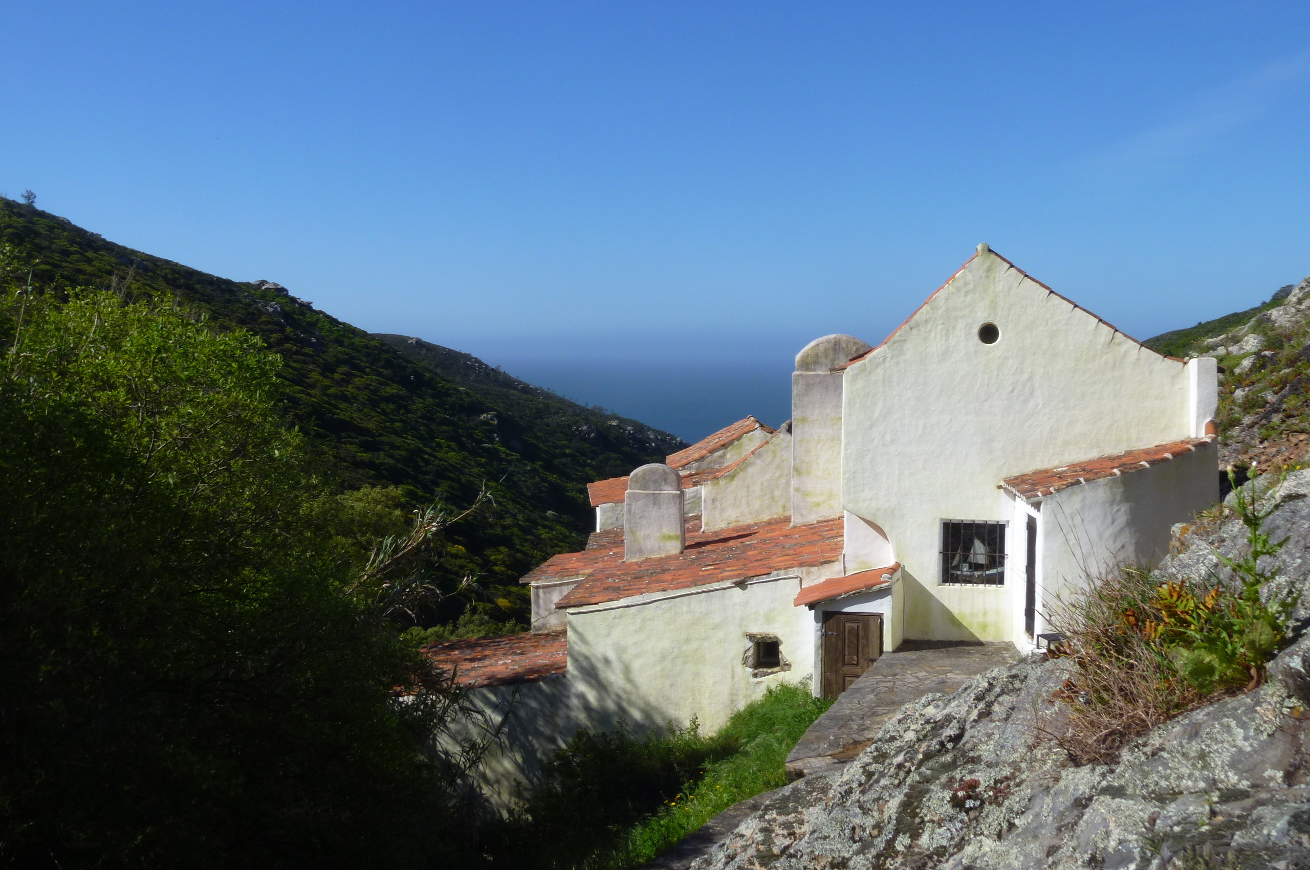
Back in 1972 my husband, The Optimist, spent one heavenly summer working as the male assistant warden at Salcombe Youth Hostel. It was  obviously a fantastic experience for him and he has relived it ever since, so much so that I now feel as if I worked there too. Besides the work itself which was fairly mundane, he enjoyed snorkelling and swimming and diving and generally messing about in boats and the sea through one long warm sunny summer … yes, those were the days! I don’t think a single drop of rain fell on South Devon that summer. I must say, that having seen this Youth Hostel, I do think it is located in one of the most idyllic locations imaginable.

The Tower Bedroom – reserved for the male assistant warden

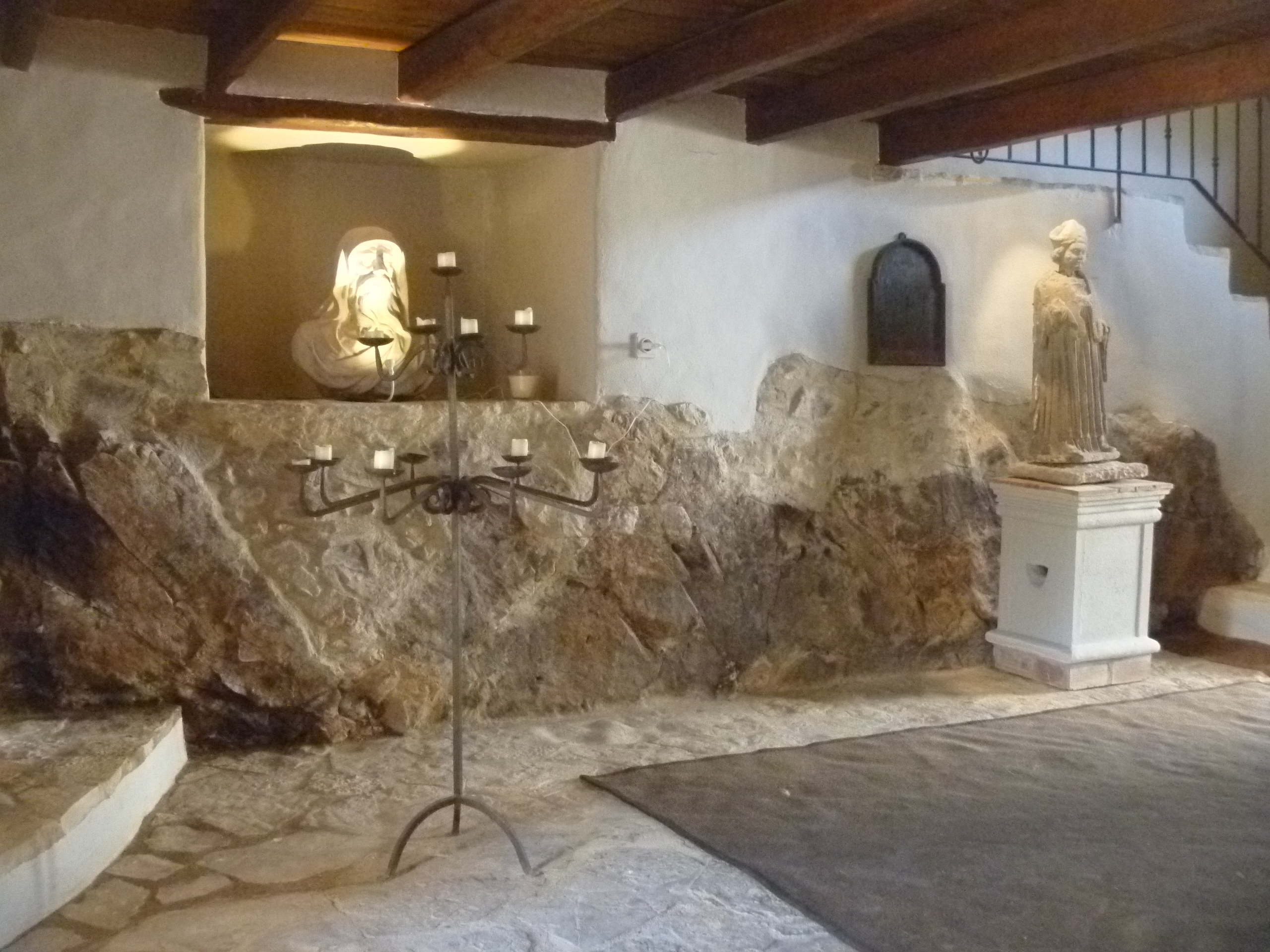
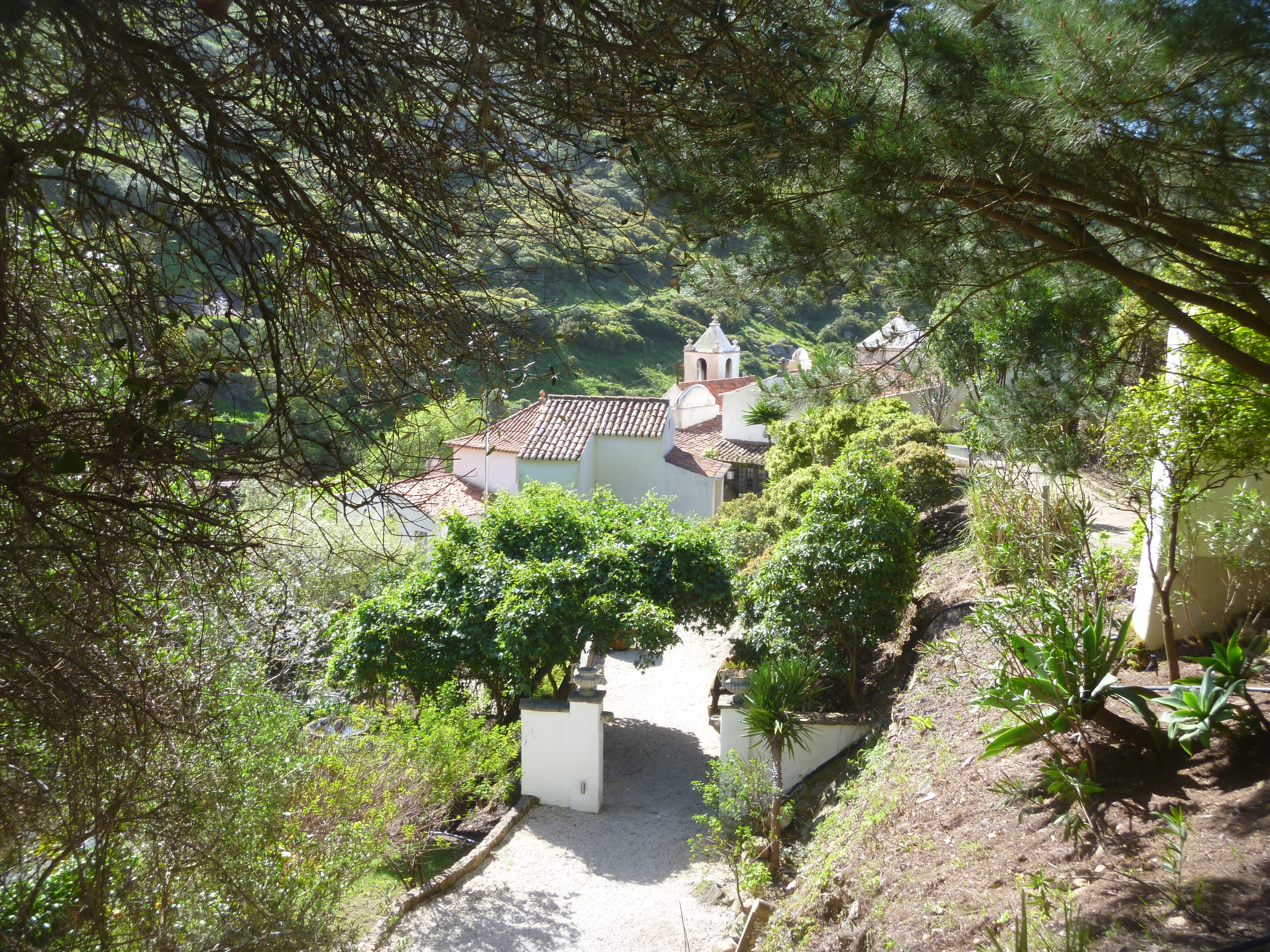
So, as I say, each year when we spend a week in October/November in Devon we make an excursion to the Salcombe area and in particular to the National Trust estate of Overbecks Sharpitor. The gardens stretch steeply down the cliff face from the house and the influence of the local microclimate has lead to a singular garden of luscious tropical vegetation.

A hidden paradise of subtropical gardens and eclectic collections…
An exotic and fascinating hidden treasure perched high on the cliffs above Salcombe. Explore the banana garden, meander through the woodland, or relax beneath the palms. Walk along the coast path and soak up the spectacular panorama across miles of beautiful coastline and estuary.”

So, walk along the coast path and soak up the panorama we did. A few paces down from the Overbecks car park there is a sign inviting one to join the footpath to Starehole Bay. This clearly defined path clings to the cliff face and in each direction are wonderful views down the ria (a tidal inlet with no major fresh water source flowing through it) to Salcombe or out, over the bar :

This shallow sandbank, evoked by Tennyson in his poem ‘Crossing the Bar’, lies across the ria’s mouth and is barely 60cm (23 inches) below water on an ebb tide. Devon’s worst life boat loss occurred here on 22 October 1916, when the ‘William & Emma’ capsized rowing back from a rescue.” (NT Website)

to the English Channel.

Salcombe and Ria from the lower footpath

Salcombe and the Ria from The South West Coastal Path

The path is dotted with handily placed seats upon which one may rest and enjoy the view but last Friday there was a misty rain blowing so we tended to keep walking.

Official Long Distance Footpaths are indicated by an Acorn on the sign posts

Starehole Bay from the NT site :

“On calm days you’ll see the dark patch of seaweed beneath the north waters of the cove, marking the Hezogin Cecile wreck. This grain clipper ran aground off Soar Mill Cove on 24 April 1936. For seven weeks the ship lay stranded whilst sightseers in their thousands lined the cliffs, holding their noses from the stench of rotting wheat. The ship was smashed in a July gale after being towed to Starehole Bay.”

From Starehole Bay there is a steep a path up to Bolt Head and from there it’s possible to join the SouthWest Coast Path and return to Overbecks along the cliff top.

Starehole Bay

Bolt Head from the NT site :

People have been farming at Bolt Head for centuries and the cliffs are dotted with the remains of field boundaries and animal enclosures, some dating back to the Bronze Age. Today, Dartmoor ponies graze on the cliffs, preventing blackthorn and gorse from smothering the slopes. Look out for grey bush crickets and their great green cousins (the largest in the British Isles). Fulmars, gulls, cormorants and shags bred on the cliff-faces. The headland was the site of a Second World War lookout until it was demolished in 2007, and is also a stop over for migrating swallows and house martins.”

Funnily we didn’t see a Dartmoor pony on Dartmoor this year – just  cattle. We did see the cliff top grazing ponies at Bolt Head, though.

The cliff top path descends again into Starehole Bay before climbing up again for the final mile and a half or so back to Overbecks. There’s a tempting sign very strategically placed to encourage one into the tea shop (also the Youth Hostel dining room) but we had a table booked for dinner so didn’t linger for refreshments on this occasion.

Time for a Cuppa?

Final view of Overbecks and Salcombe from the SW Coastal Path

Built for Comfort not for Defence : Harewood Castle

Sunday 14th October was the 946th anniversary of The Battle of Hastings. Our guide Sally Lawless deemed it therefore a fitting date on which to embark on one of a series of new initiatives at the Harewood EstateThe Harewood Castle Tour.

Earlier in the year I’d picked up the leaflet ‘Medieval Harewood 2012 : step back in time … ‘  This outlined a series of events, workshops, tours, tours and walks. Of course, it was the walk that appealed to me. I’d seen some of the archaeological dig results at Gawthorpe Hall last October on my ‘Capability Brown’ walk and I decided earlier in the week to sign up to visit Harewood Castle today.

We all assembled in All Saints Church the Harewood Estate church which is now under the protection of the Churches Conservation Trust. Sally gave us a brief introduction to the church and the Harewood Estate in general. We were shown the important Alabaster Tombs – 6 pairs comprising some of the best surviving examples in England. All the figures represented had played a part in the history of the Castle.

Close up of an alabaster beadsman or professional mourner

Then our walk began, through the churchyard where many of the estate and household workers are now buried, and out down a track to the public footpath Church Lane. This is was the former turnpike road between Tadcaster and Otley. It cuts through what was formerly the northern pleasure grounds of the Estate.

Sunken  tracks like this criss-cross the Harewood Pleasure Grounds

Peering over the wall we were fascinated to see the various tunnels and trenches which passed under the road so that  the vicar could reach his church and the local inhabitants cross the Estate without being seen by the Lord and Lady and their family and guests.

The Ha-ha approach to the Castle

From Church Lane we entered the original Harewood village and proceeded down a deep walled public footpath to the Ha-ha which separated the Pleasure Grounds from the Deer Park –  where we could still see deer today.

Harewood Castle built into the hillside looks out over Wharfedale

The Castle itself now stands very near to the A61 main road between Leeds and Harrogate but despite its size and proximity it’s almost impossible to see it from the road. There has been some tree clearance in the area lately and the view across Wharfedale can be seen more clearly.

Castle with Turner watercolour from similar standpoints

After hearing more about the history of the castle, comparing Turner’s watercolour views with today’s view we were admitted into the ruin and able to inspect more closely the layout and remains of the Harewood Tower House.

Following the path in a loop around the castle (it’s not open to the general public) we retraced our steps to the church where the tour finished.

Harewood Castle is technically not a castle but a fortified manse, a converted manor house. A ‘licence to crenellate’ (to fortify) was granted to William De Aldeburgh in the mid-14th century. Two families, the Redmaynes and the Rythers, whose tombs are in Harewood church, shared occupation during the 15th and 16th centuries. It was abandoned in the early 17th century and its stone and ornamental masonry plundered for use in other buildings nearby. By the late 18th century it was a picturesque ruin, painted by Turner, Varley, De Wint, Cotman and Buckler. It remained in that condition until 2004 when stabilisation work was carried out with financial support from English Heritage and matched funding from the Harewood Estate.”

The View over Wharfedale