Cabo da Roca or Promontorium Magnum : The Edge of the World

The highlight of the next day’s walking was to visit the Cabo Do Roca – the westernmost point of the European mainland. Called Promontorium Magnum by the Romans and before the Age of the Explorers was thought to be the Edge of the World.

Cabo da Roca sign

But before heading off on the next sector of our walk we spent a relaxing morning at The Sao Saturnino. Breakfast isn’t served until after 9am and we also wanted to wander around the maze of buildings and the gardens. Here are some pictures of this beautiful location.

Entrance Saturnino

Sao Saturnino Entrance

Saturnino library

Sao Saturnino Library

Convento sea views

Sea Views from The Sao Saturnino

Leaving the C da SS

Leaving The Convento da Sao Saturnino

So, late morning we headed off from the Convento, through the village of Azoia, to the Cabo da Roca. “The phrase that is most attached to this outcrop is ‘where the land ends and the sea begins’ which was coined by Luis de Camoes, the 16th century Portuguese poet.” [Route Brochure].

Approaching Cabo da Roca

Approaching the Cabo da Roca

Cabo da Roca

Cabo da Roca

Cabo de Roca Monument

The Monument at Cabo da Roca

Cabo da Roca sign

What it says on the Monument

The Atlantic Ocean at Cabo da Roca

The Atlantic Ocean at Cabo da Roca

The Lighthouse at Cabo da Roca

The Lighthouse at Cabo da Roca

The lighthouse was built in 1772 and stands 144 metres above the cape which itself stands 140 metres above sea level.

Our paths continued, with some diversions due to the January storms, mostly along the coastline to the famous Praia Grande. PG is one of the largest stretches of sandy beach on the Portuguese coast. The name means Big Beach and is extremely popular  with surfers all year round. Our hotel was perfectly situated right on the beach and our room overlooked the pounding waves and the hotel’s huge 100 metre swimming pool.

Arribas Hotel

Along the Way – Convents

If our first day’s walking, now that I look back, was on a theme of Forts then the next day was on a theme of Convents. This was our longest day walking: over 12 miles. We left the Fortaleza after breakfast (and a personal farewell from the manager) at 9.30am and only arrived at our destination that evening at 6.30pm. Of course, we didn’t spend the whole day walking, there were several places to visit along the way, not least The Convento dos Capuchos, where we spent well over the ‘designated’ one hour suggested in our Route Booklet. The Convento (read more about it here) was the first location within the Cultural Landscape of Sintra – a UNESCO World Heritage site first designated in 1995 – on our itinerary.

Our coastal path

Clearly marked coastal path

At first our route, on clearly marked paths, followed the coast northwards before turning inland and into the area known as The Serra de Sintra. There were some tough climbs but also some great views.

Viewpoint

After the first tough climb we could see the River Tagus and 25 Abril Bridge

Still see Fortaleza

In another direction we could still see the coast and the Fortaleza

This area was the worst affected by the storms in January this year and consequently our path was disrupted at one point. This took some time to negotiate and calls/texts to Ana but eventually we got back on track. We’d hoped to reach The Convento at lunchtime but in fact we ate our picnic lunch a few miles before.

5 star picnic

Our Five Star Picnic lasted us Three Days!!

The Convento dos Capuchos dates back to 1560. It was built by Don Alvaro de Castro as a Franciscan monastery. The Capuchins were a minor ‘hooded’ order. It was built in accordance with the Franciscan (fulfilling the teachings of St Francis of Assissi) principles of living in harmony with nature. Mostly carved from the rock face, granite boulders are incorporated and cork was used as insulation, thus giving an alternative name ‘The Cork Monastery’. Here the monks lived a simple and holy life until the site was abandoned by them in 1834. The Portuguese state took responsibility for the site in 1949. Why it is called a Convento and not a Mosteiro (monastery) I have no idea!

Views of the Convento Dos Capuchos

Capuchos sign

At the Entrance – there’s also a Nature Trail, but we didn’t have time to complete it.

St Francis

Wall Painting of St Francis

Tiny doorways to cells

The very low doorways (indicating humility) into the tiny cells (the floor lighting guides our way)

Small windows

Small Cell Windows and Cork-Insulated Walls

Cloister

The Cloister

Cork oak

A Cork Oak still grows in the Cloister

Leaving the Convento around 4pm we still had a lengthy walk ahead of us, plus two further climbs. The first was to a memorial to 23 soldiers who were killed putting out forest fires in 1966. From the cross there are more stunning views – the Pena Palace magnificent in the distance.

Memorial

Forest Fires Memorial to Servicemen

Pena Palace in the distance

Pena Palace across the Serra

“Continue ahead uphill”. We got kind of used to reading this instruction!

Yet more climbing to do!

Onward and upward we continued until we reached the Peninha Chapel.

Peninha

Unfortunately the chapel wasn’t open to the public but we read that the first building on the site was a chapel to Sao Saturnino in the 12th century and that the ‘new’ chapel was built in the 17th century and apparently contains beautiful blue and white azulejos (tiles) depicting the life of Mary.

View from Peninha

Tagus view from Peninha

Again, we had magnificent views of the coast and towards the River Tagus and Lisbon. From the Peninha it was practically downhill all the way and finally, we caught a first glimpse of our destination – The Convento Sao Saturnino nestling a valley with views of the sea.

Convento da Saturnino

We arrived just in time for dinner – there’s a welcoming tray in the bedroom for revival of the spirits!

Nice feature in the room

Along the Way – Forts

As you will have seen our first day’s walk was not too long and followed the Portuguese coastline from Cascais to Guincho. On the first day the walking distance is always a bit shorter than most others because it is your opportunity to meet with the Route Manager and discuss the route, any last minute changes and exchange mobile ‘phone numbers.

Santa Marta Lighthouse, Cascais

The Santa Marta Lighthouse near Cascais

We spent a sunny Sunday morning in a park with Ana, our manager, as there was a big 10k race going on right outside our hotel meaning that access was made rather difficult. Ana had to explain to us that very severe storms last January had caused much damage along the route and some of the paths were now impassable. She had done her homework though, and walked the whole length trying to re-jig the route in just a couple of places. Luckily she was also  on the end of the ‘phone when we needed a bit of clarification on a couple of days.

Boca do Inferno 1

Boca do Inferno

Boca do Inferno 2

Boca do Inferno

Boca do Inferno 3

Boca do Inferno and Guia Lighthouse

Our route that morning was busy and ran parallel with the coast road. Lots of walkers, families, joggers and cyclists shared the route with us. We passed lighthouses and dramatic coastal features and were able to take a brief break at The Forte de Sao Jorge de Oitavos. Not far from Cascais is the Boca do Inferno or Hell’s Mouth. “This is a natural chasm and the sea water has access to the very bottom of the chasm so when the sea is unsettled the effect is quite impressive!” [From our Route Booklet] Even when the sea is pretty calm the effect is still pretty impressive! There is a  viewing area just down from the path.

Forte St Jorge

Cabo Roso Lighthouse

The Cabo Roso Lighthouse

Probably about midway between Cascais and Guincho is the The Forte de Sao Jorge de Oitavos. It’s a handy visitor’s centre along the coast and has exhibitions and displays as well as a sheltered courtyard out of the wind. It was built as a defensive fortification against possible landings by pirates or invaders between 1642 and 1648.

Approaching the Fortaleza

Approaching the Fortaleza [yellow building]

The shortish walk meant that we arrived at our most luxurious hotel The Fortaleza do Guincho in the early afternoon giving us plenty of time to relax and read enjoy a late lunch and later an afternoon tea on the sunny terrace overlooking the dramatic waves and nearby beaches followed by a bar meal dinner in the sumptuous lounge area. We needed this rest and recuperation after the long day of travelling the day before and the next day’s walk – the longest of the trip.

Afternoon Tea at the Fortaleza

The much-appreciated Afternoon Tea at The Fortaleza

The Best Way to See the World is on Foot! Sintra and The Portuguese Coast Footloose Holiday

ATG bus

In June last year my sister and I took our first ATG Footloose Holiday in Alsace. We were so impressed with the organisation and our own walking ability that we decided to book an even longer trip this year. We spent last week in Portugal doing the Sintra and Portuguese Footloose Walk.

Here is the text of the itinerary!

Cascais sea front

Cascais Beach and Sea Front

“Day 1 • Arrive in Cascais. A fashionable resort with a marina, smart shops, elegant restaurants and one of the best (and cleanest!) surfing beaches in Europe.”

Boca do Inferno

Boca do Inferno [Mouth of Hell] (between Cascais and Guincho)

Day 2 • Cascais to Guincho. An outstanding walk along the coast, passing lighthouses and fascinating cliff formations with dramatic coastal views, to Guincho Beach, one of Portugal’s best windsurfing locations (6.5 miles, 3.5 hrs).”

View from Peninha

View from Peninha

Day 3 • Guincho to Azoia. Follow coastal paths before heading inland into the Serra de Sintra. Opportunity to visit the interesting Convento dos Capuchos (Capuchin monastery) (+2 hrs), before returning through the Serra up to the spectacularly situated 14th century Peninha Chapel. Paths then lead down to your hotel near the coast (4.9 or 11.7 miles, 3 or 6 hrs).”

Cabo da Roca

Day 4 • Azoia to Praia Grande. A cliff-top walk with spectacular views leads to Cabo (Cape) da Roca, the most westerly point of Portugal – and mainland Europe. Continue inland through the vineyards of the famous ‘Colares’ wine before returning to the coast and past dramatic cliff formations to the beach of Praia Grande, with its world- famous swirling waves (7.2 miles, 4 hrs).”

Azenhas do Mar

Azenhas do Mar

Mamede

The Church of Sao Mamede

Day 5 • Praia Grande to Colares. Continue along the coast to the small seaside resort of Azenhas do Mar, with its pretty whitewashed houses perched on a cliff. From here the coastal path continues, past more fine beaches, then heads inland to the curious church of São Mamede, ‘protector of the animals,’ which were freely allowed to enter the chapel until recent times. Minor roads then lead to Colares, famous for its wine (6.9 or 9.9 miles, 3 or 4.5 hrs).”

Monserrate

Monserrate Palace and Gardens

Day 6 • Colares to Sintra. Walk through small hamlets and vineyards before joining wide forest paths passing through the Serra to the ‘Romantic’ Palace of Monserrate, with exotic gardens and follies. Continue through the Serra and a short section of road brings you to the arch of the old west entrance to Sintra (6.9 miles, 3.5 hrs).”

Sintra from the Moorish Castle

Sintra from the Moorish Castle

Day 7 • Free day in Sintra. Described by Byron as a ‘glorious Eden’, and boasting UNESCO World Heritage status, Sintra is a visitor’s paradise, with magnificent palaces, gardens, galleries, churches, museums, and cobbled, medieval streets lined with boutique shops and cafés.”

Ana at Lawrence's Hotel, Sintra

Ana Our Lovely Five Star Tour Manager at Lawrence’s Hotel, Sintra

A Wintry Winterburn Walk – on the first day of spring

Last October I attempted this walk but long stretches of very muddy footpaths put me off completing it. I suppose I walked about a third of the route and then diverted from it taking an alternative track to a tarmaced country lane back to the start. So I was delighted when this month’s Weekday Wanderers ‘leader’ told us we were going to do the Winterburn Reservoir Walk yesterday. There was every chance that the paths, although muddy, would be frozen so we would be able to complete the route without being too bogged down in mud.

Muddy moor lane

Our leader’s walk – although also extracted from the Yorkshire Post – followed the reverse route. Parking in Hetton in front of the Angel Inn, we headed along a quiet lane out of the village then we struck out across fields until we reached Friar’s Head House. A slight diversion was well worth it to see the front of this Grade 2* listed building which is now a farmhouse.

Friars Head 1

The manor of Winterburn was gifted to Furness Abbey during the 12th century. Nearby Winterburn Grange was the abbey’s administrative centre for the surrounding estates and Friar’s Head was supposedly a hunting lodge for the Abbots of Furness. The present building has a much later date however. After the Dissolution of the Monasteries a long dispute arose over Friar’s Head between its tenants under the Abbey, the Proctor family, and the Earl of Cumberland who tried to put his own tenants in. The three-storey house now at Friar’s Head was eventually built by Stephen Proctor around 1590. It is the most prominent example of a late Tudor gentry house in the Dales.”

Source : http://www.outofoblivion.org.uk/record.asp?id=237

The quiet Winterburn Lane leads to the village of Winterburn itself where we were delighted to see new born lambs in their pac-a-mac raincoats!

Lambs in Plastic Macs

Lambs in Plastic Macs

Latest style in plastic rainwear

The Latest Style in Rainwear!

Eventually we left the track to climb up to fields above the hamlet and we had wide views of the Cracoe Fell with its cross and war memorial (I have yet to walk that ridge).

Winterburn walk

Dropping down to the reservoir itself we had to negotiate the muddy paths before joining the long Moor Lane track back to the village of Hetton.

Winterburn res.

Winterburn Reservoir

Cracoe Fell from Moor Lane

Cracoe Fell from Moor Lane

Returning to Hetton

Returning to Hetton

We experienced freezing cold winds but lovely clear views of the fells covered with snow. Today we have as much snow in our garden! And to think, Easter is a week away and spring has already begun!

Snow today

Snow today!

The Battle of Tewkesbury: The Bloody (Muddy) Meadow

32 St Mary’s Lane

32 SM Lane

Last weekend, to break my journey between South Wales and home in Leeds, I stayed in the lovely old town of Tewkesbury. 32 St Mary’s Lane is tucked away between the main road through town and the River Avon. Beyond the river is a large expanse of flat, grassy land called Severn Ham (‘Q’ mentions it in his poem ‘Upon Eckington Bridge‘) bordered on the other side by the River Severn. The two rivers meet at Tewkesbury and it’s liable to flooding sometimes in summer.

Severn Ham

River Avon and Severn Ham

Beyond the main road, on the other side, is the great edifice of Tewkesbury Abbey which dominates the town in the nicest of ways.

Tewkesbury Abbey

The house in St Mary’s Lane was formerly a framework stocking-knitter’s home dating back to the 17th century. The row of cottages, of which no. 32 is one, were in a parlous state by the 1970s and The Landmark Trust stepped in to help a local conservation group who were unable to raise the funds required to restore the houses. No. 32 only joined Landmark’s collection of properties to let in 1982.

32 Kitchen

Welcome to St Mary’s Lane : The Kitchen

SML Sitting room

The First Floor Sitting Room

It’s a lovely warm and comfy house on 4 floors each of the upper floors accessed via steep, narrow, twisting staircases; but you soon get used to them! On the ground floor is the kitchen and a cloakroom (and there’s a backyard with picnic table for the summer months), on the first floor is the sitting room, above that is a bedroom and a bathroom and on the fourth floor is another bedroom with magnificent view of the Abbey through one tiny window.

upstairs day view

The Abbey from the Top Bedroom – by day

32 upstairs window

The Abbey from the Top Bedroom – by night

In fact there is another Landmark Trust property in Tewkesbury – The Abbey Gatehouse.

The abbey gatehouse

To Battle!

Battlefield-Trail-949x1024

The Battlefield Trail at Tewkesbury (photo)

On Sunday morning, having found a Battle Trail leaflet at the house, I decided to leave its cosy confines and venture out into the cold, windy fields on the edge of Tewkesbury to discover the location of The Bloody Meadow – scene of the Battle of Tewkesbury in 1471 between the House of York and the House of Lancaster saw the death of 2000 soldiers, including Edward, Prince of Wales, who was just 18 years old. It was a defining battle of the Wars of the Roses.

Tewkesbury Abbey

Tewkesbury Abbey from The Battle Trail

Crossing the main road and taking Gander Lane behind the Abbey I soon found the first Battle Trail sign. It was easy to follow and well-waymarked BUT there were some very very muddy parts and at one point I was unable to reach the exit gate from the Bloody Meadow due to two rather frisky-looking ponies. I had to take a detour, give them a wide berth and climb over a fence. There’s an information panel at the Meadow itself and towards the end of the trail is a monument to the town recording important events in the history of Tewkesbury.

Battle Trail

The Bloody Meadow

The Bloody (and muddy) Meadow

Info Board

Muddy Field

Horses and Mud block the Trail

Tewkesbury Monument

The Tewkesbury Monument and Abbey at the end of the Trail

Close-up of panel

Close-up of the Monument

Tea at Lock Cottage

I was pleased to get back to St Mary’s Lane for a wash and brush-up before heading up the M5 to partake of afternoon tea with Landmarking friends who just happened to be staying at Lock Cottage which lies between locks 31 and 32 of the Worcester and Birmingham Canal.

Lock Cottage

I have to concur with the comment in Lock Cottage Log (Visitors) Book, namely, that “Sitting in the cottage with a cup of tea and watching the boats go by is infinitely preferable to jumping on and off a boat watching the cottages go by.”

A Chapel, a Diarist and a Book Town: a visit to Hay On Wye and its Environs

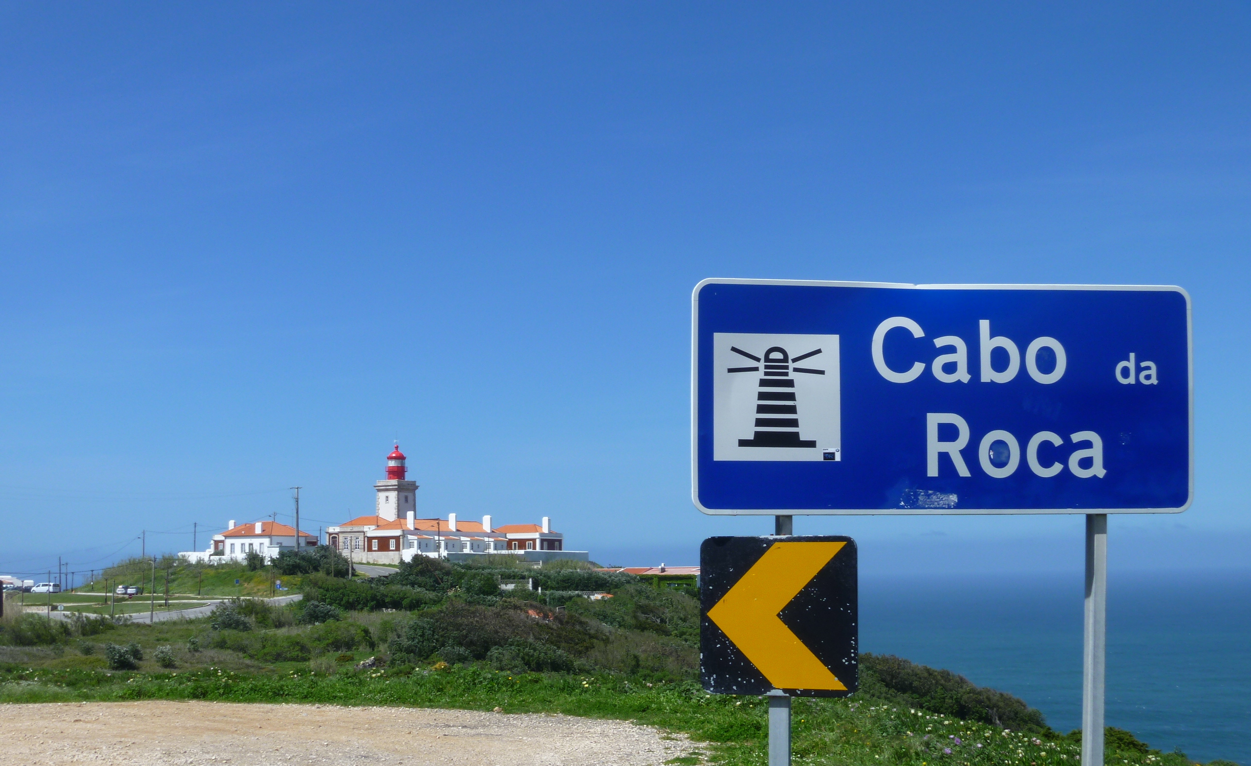
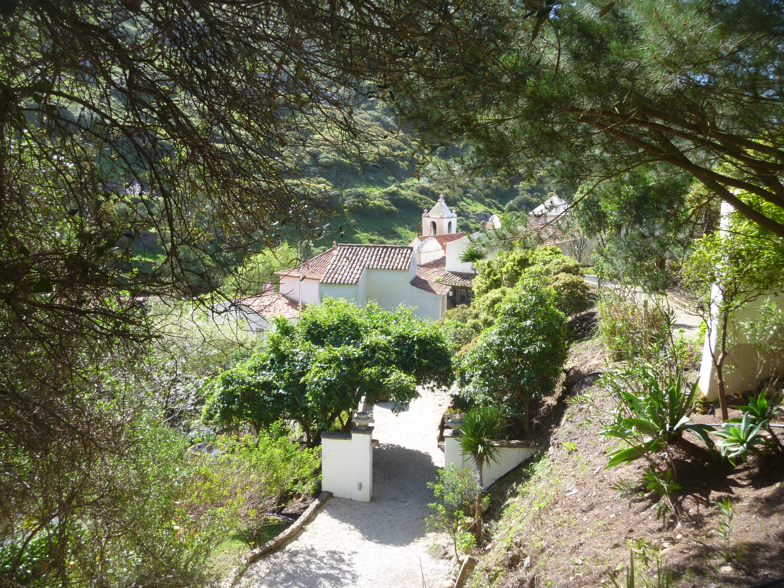
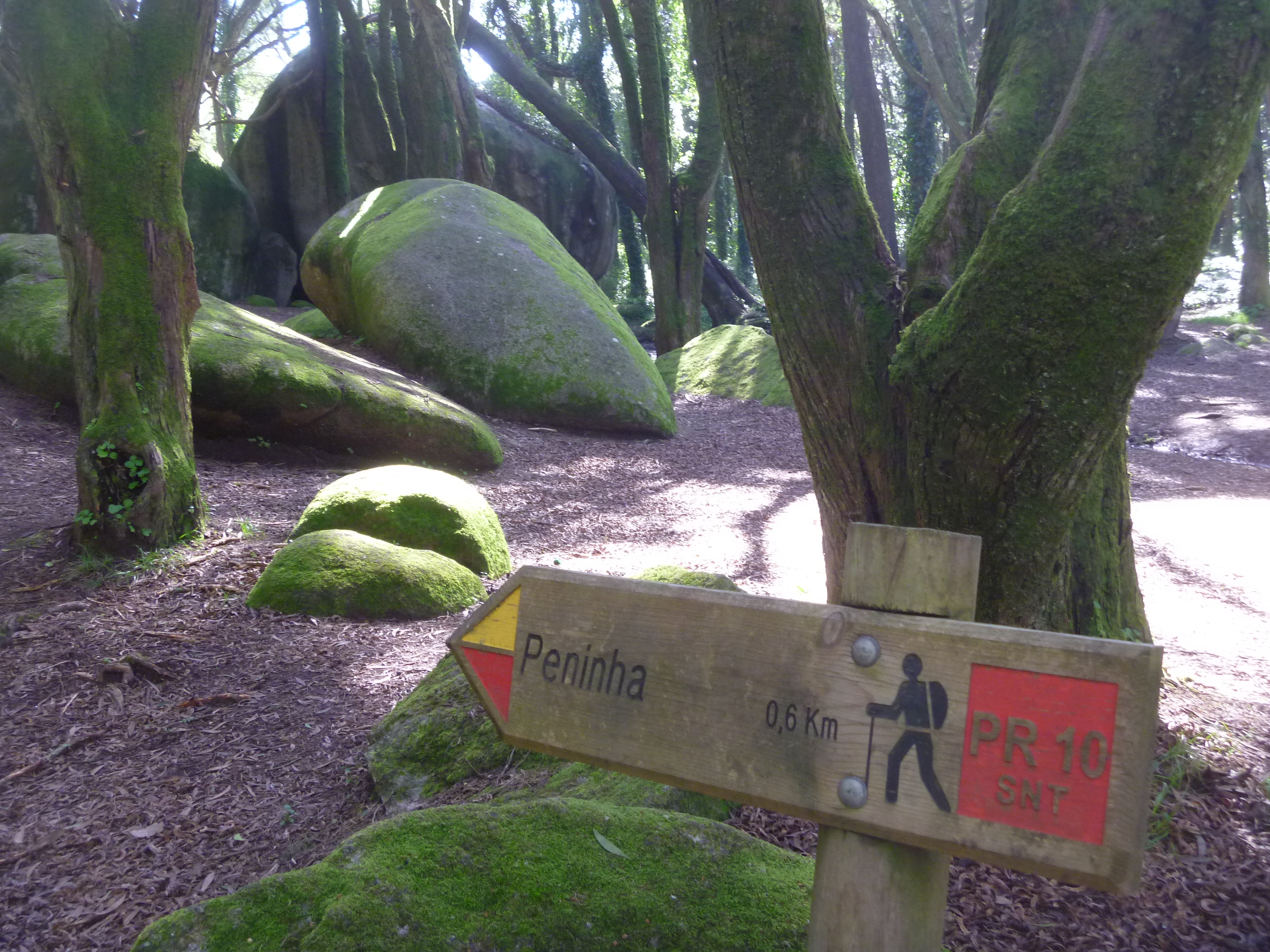
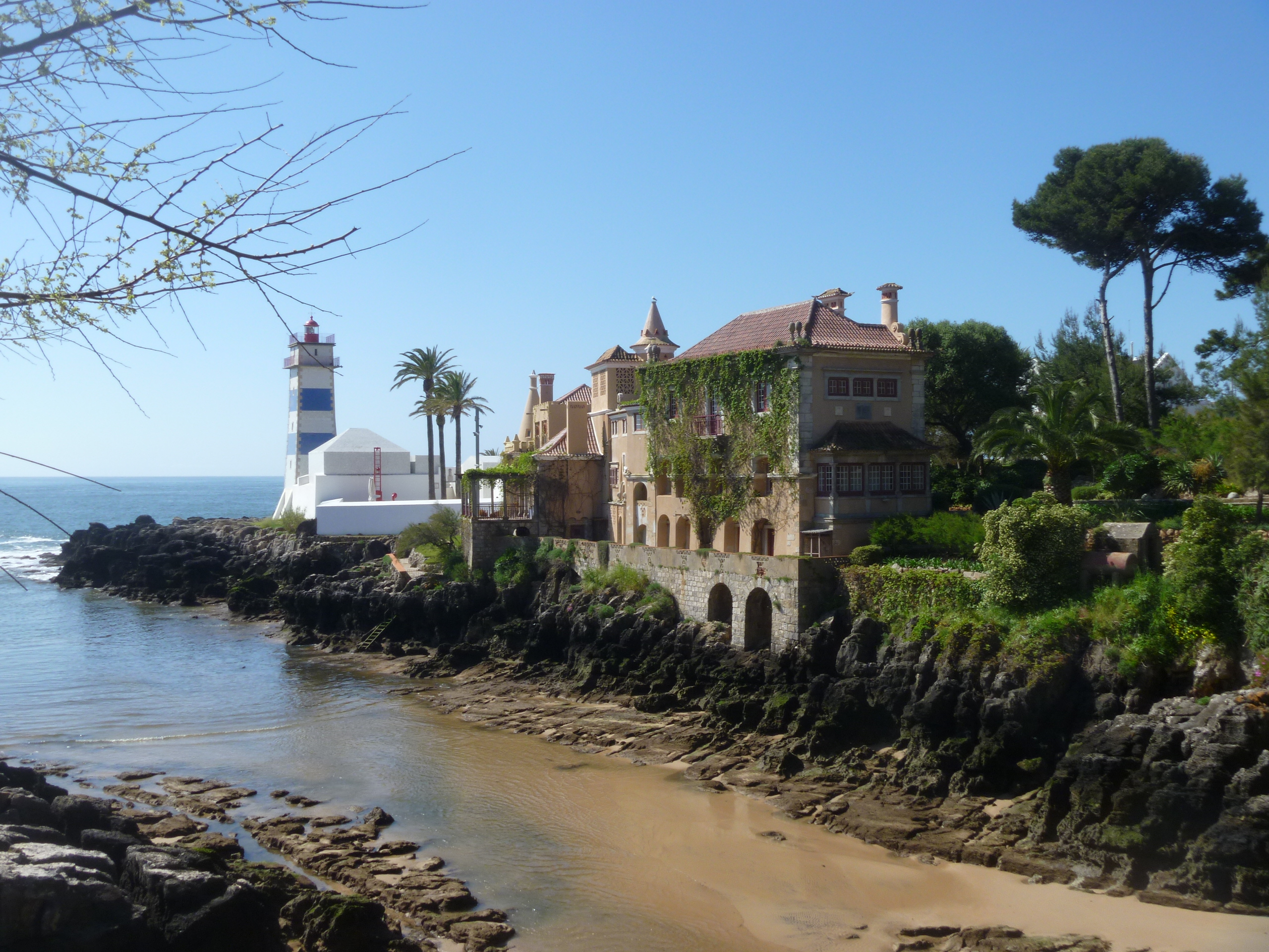
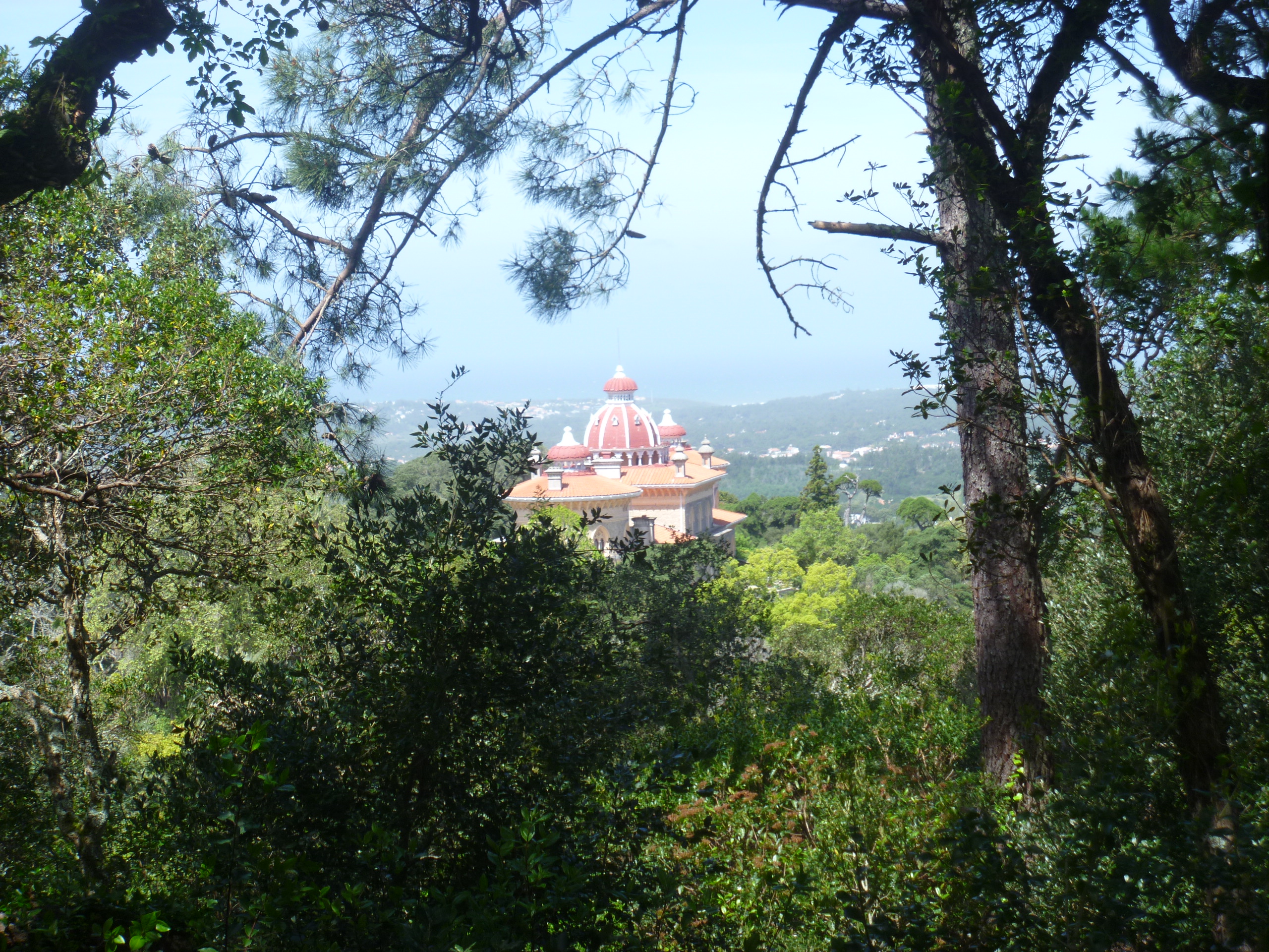
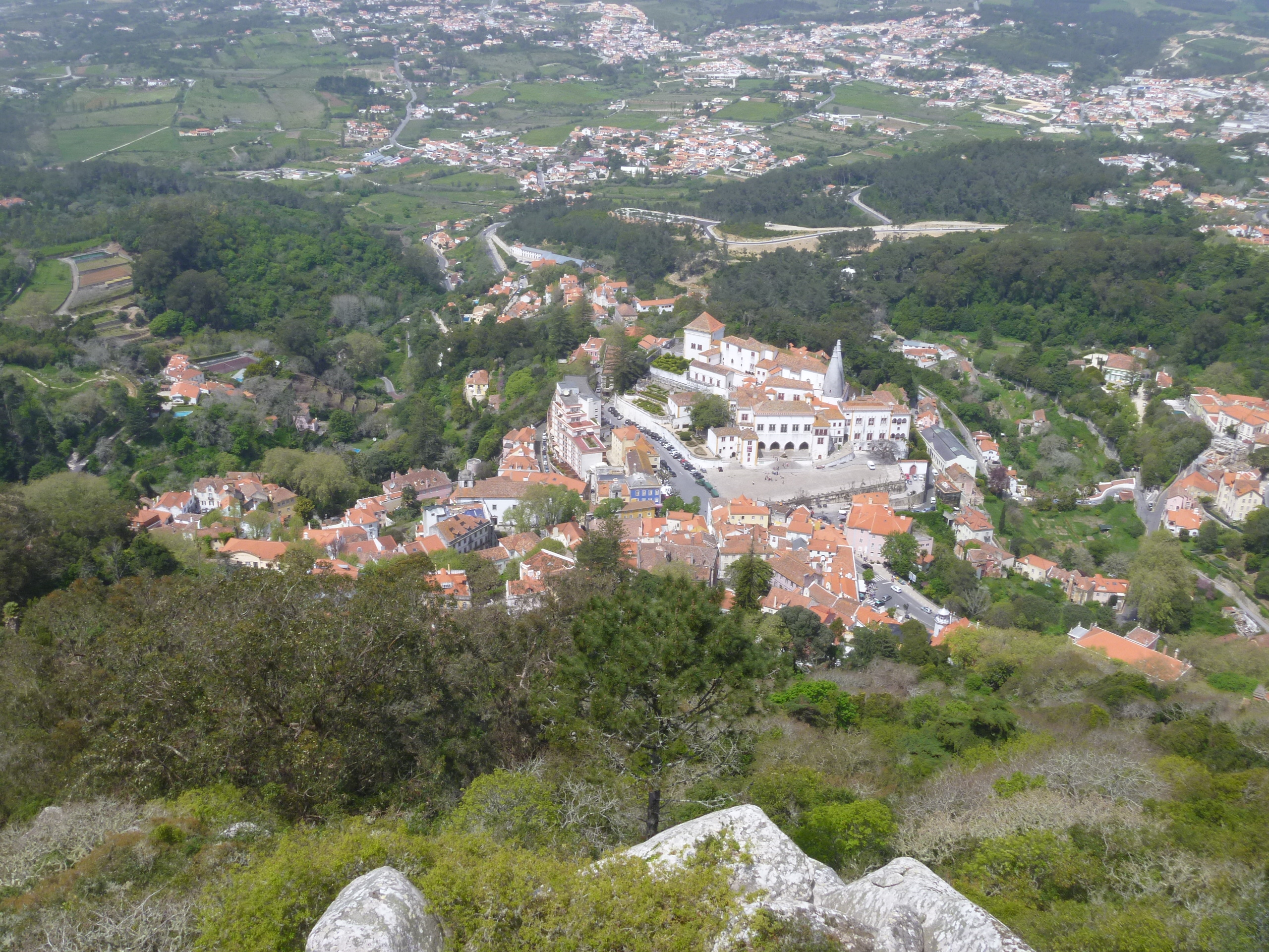
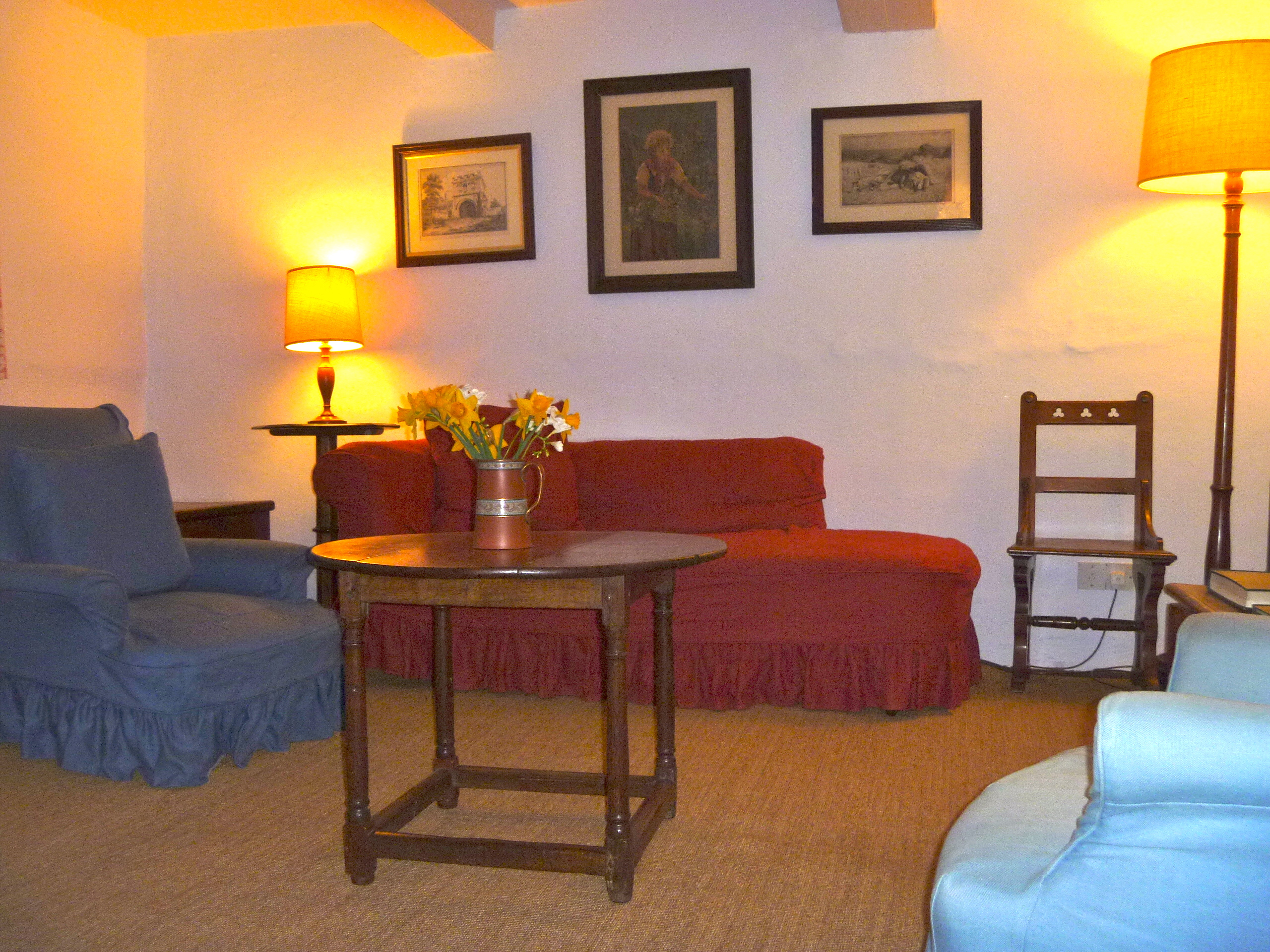
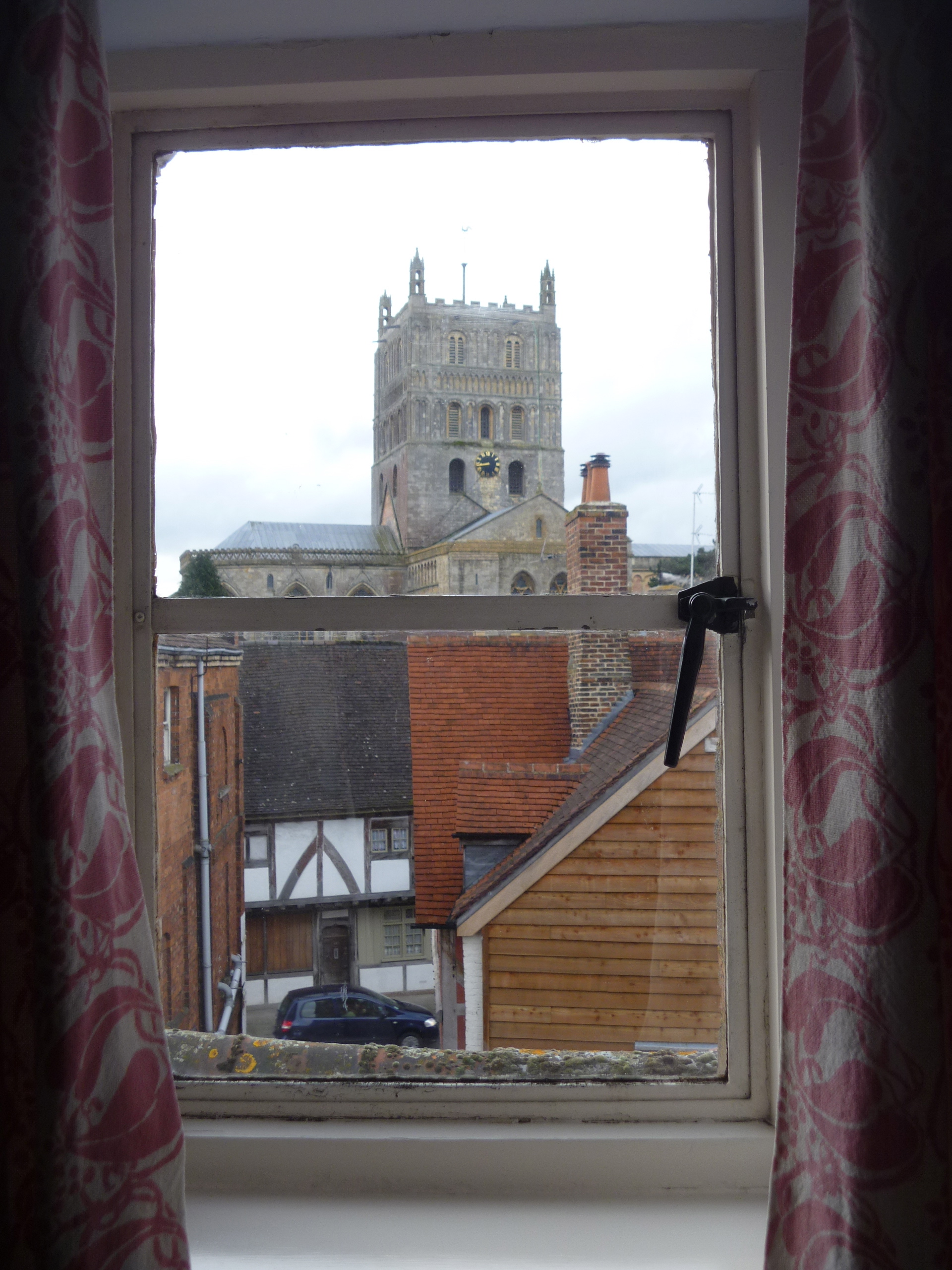
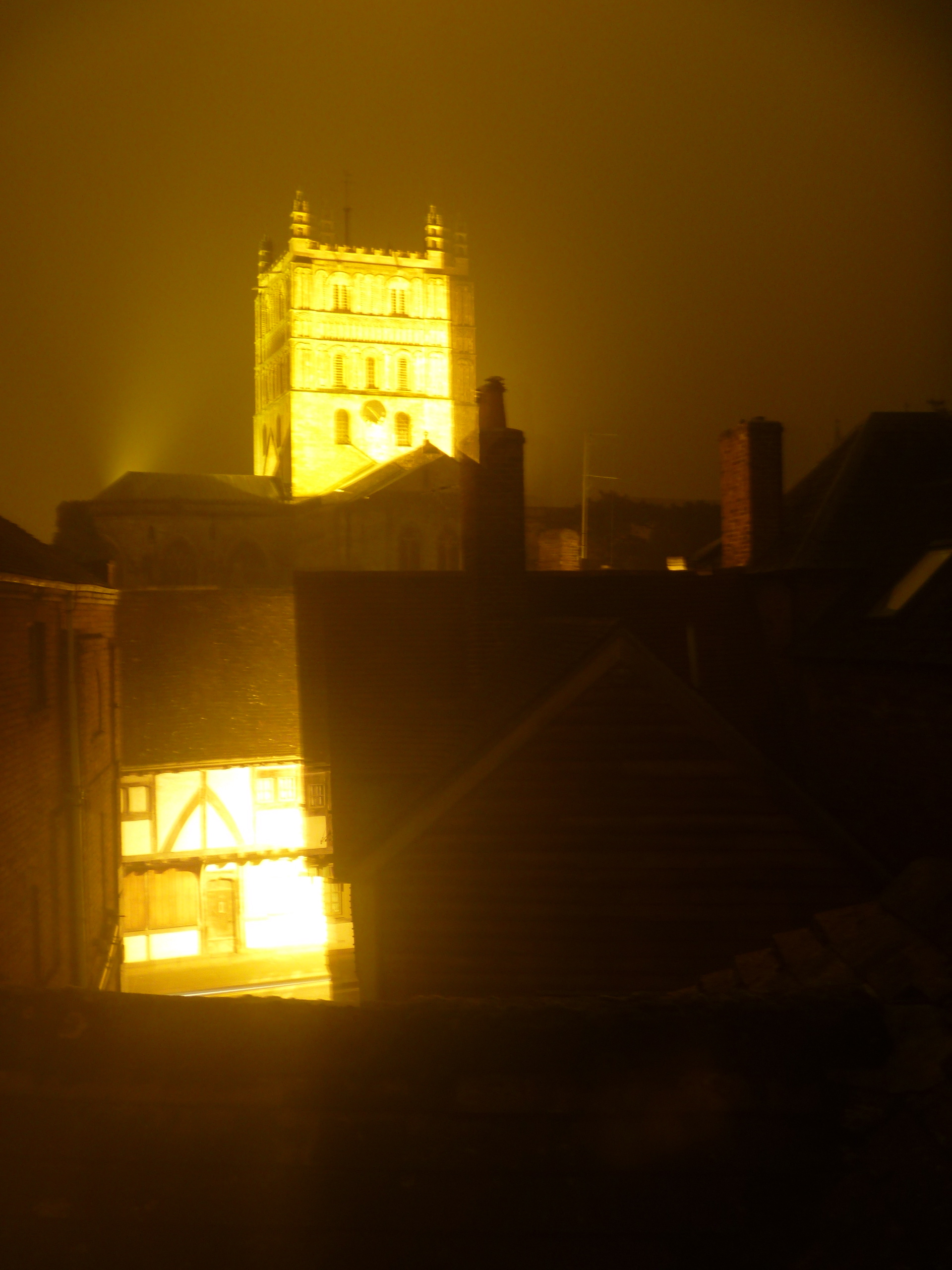
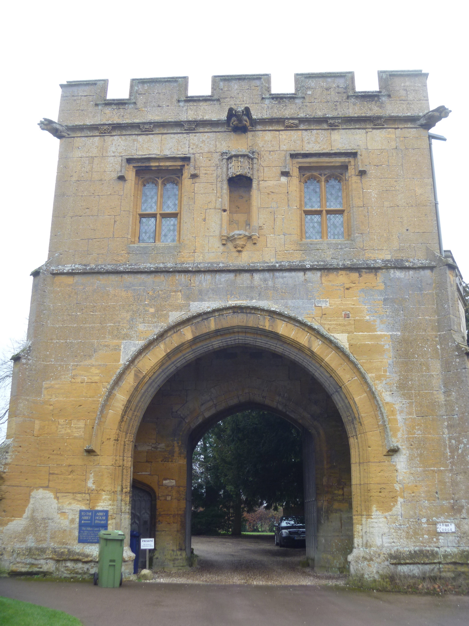
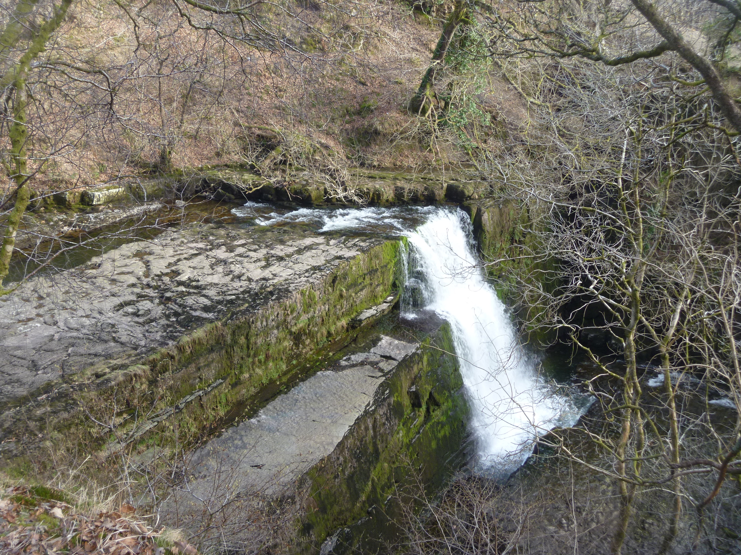
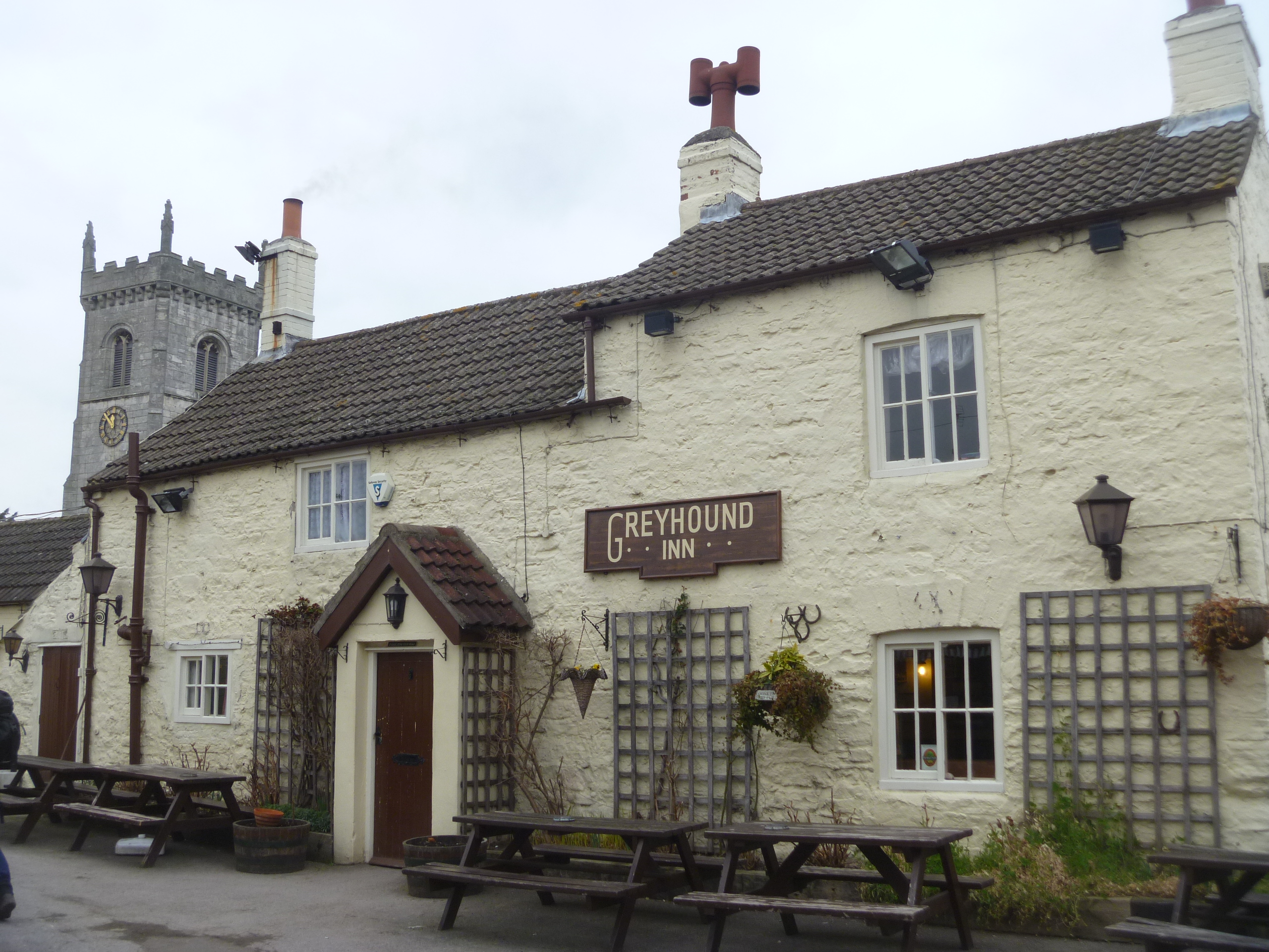
On Monday I arrived in Wales for a few days’ visit with a friend and former colleague who returned to her home country after spending most of her adult life in Leeds. I’m having a very relaxing few days interspersed with an expedition each day. Tuesday was most glorious. The sun came out and the temperatures rose and spring seemed definitely in the air. We managed a couple of short walks in “Waterfall Country”.

Sgwd Gwladus near Pontneddfechan

Sgwd Gwladus near Pontneddfechan, Neath Valley

St Mary's Church, Ystradfellte

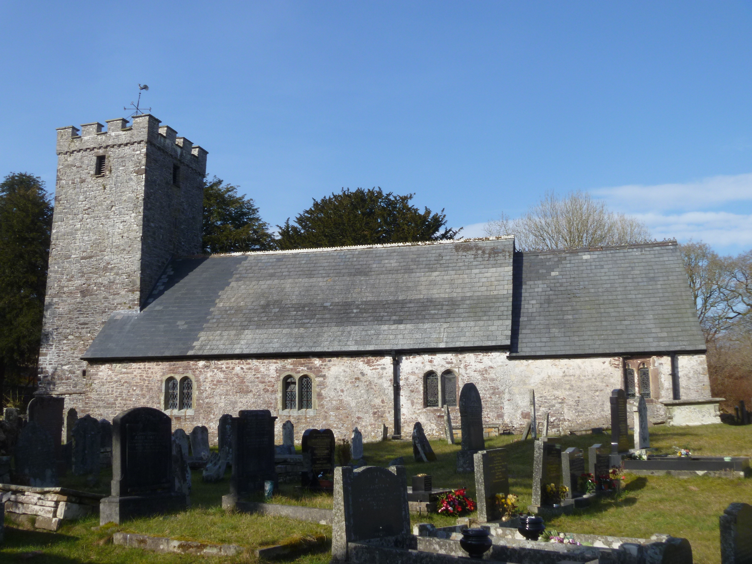
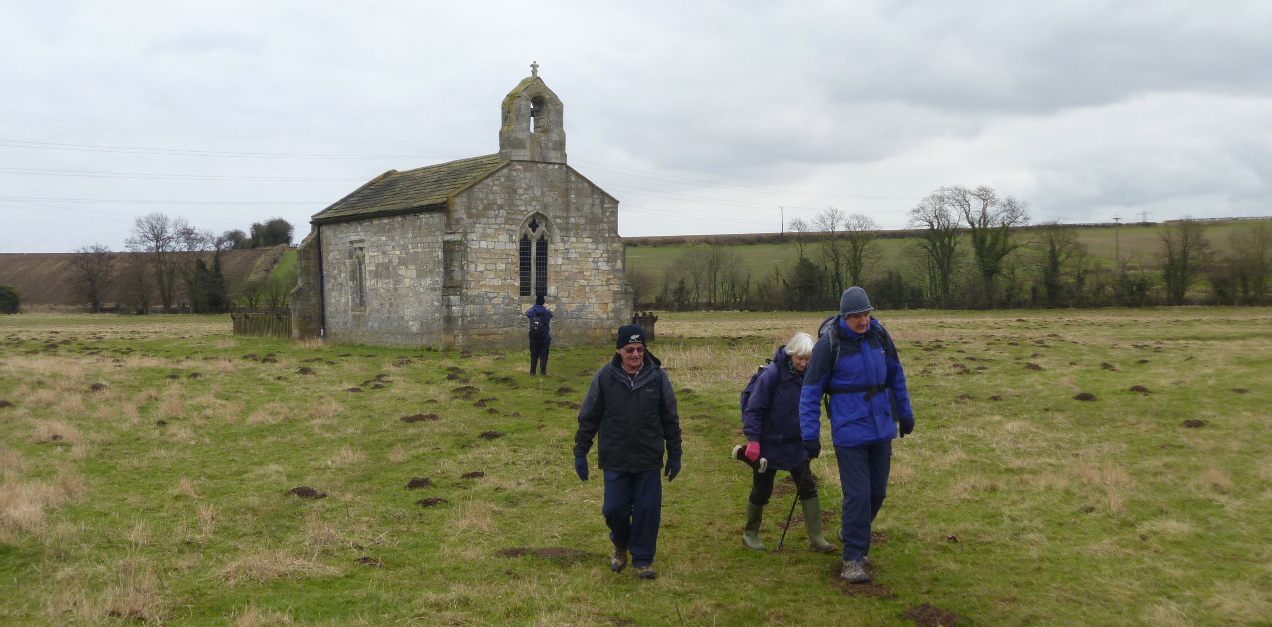
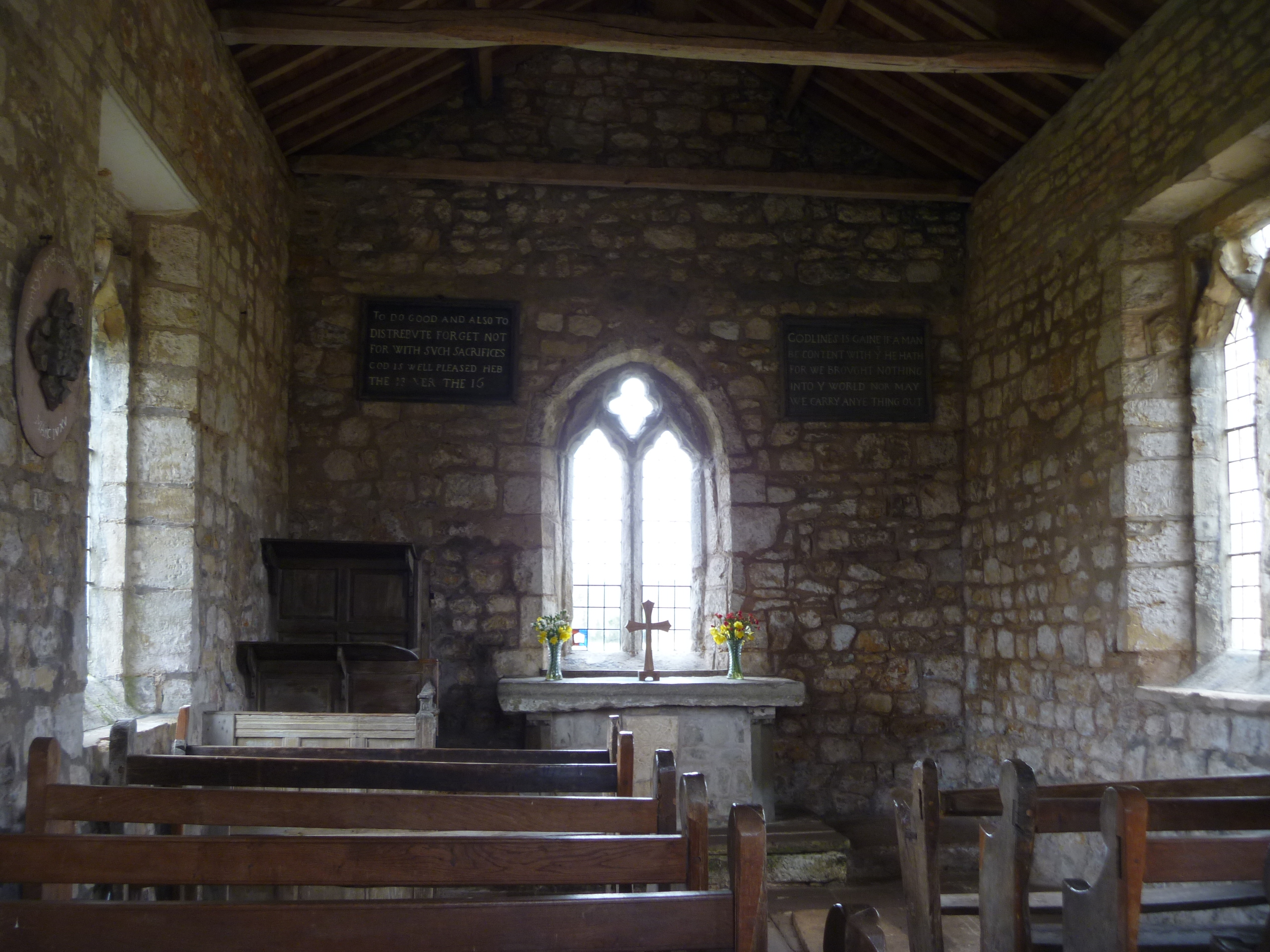
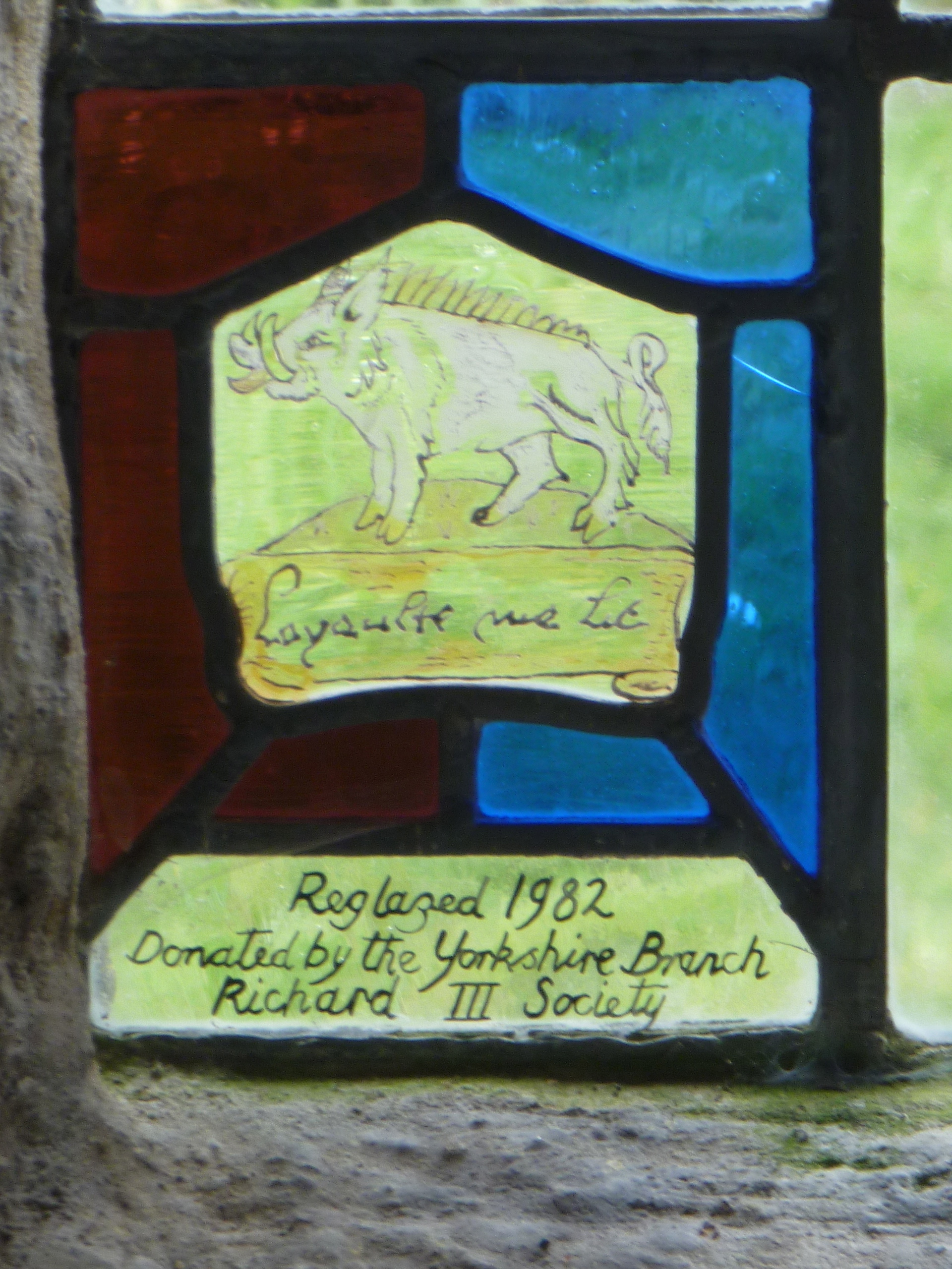
St Mary’s Church, Ystradfellte

Sgwd Clun-Gwyn

Sgwd Clun-Gwyn, near Ystradfellte

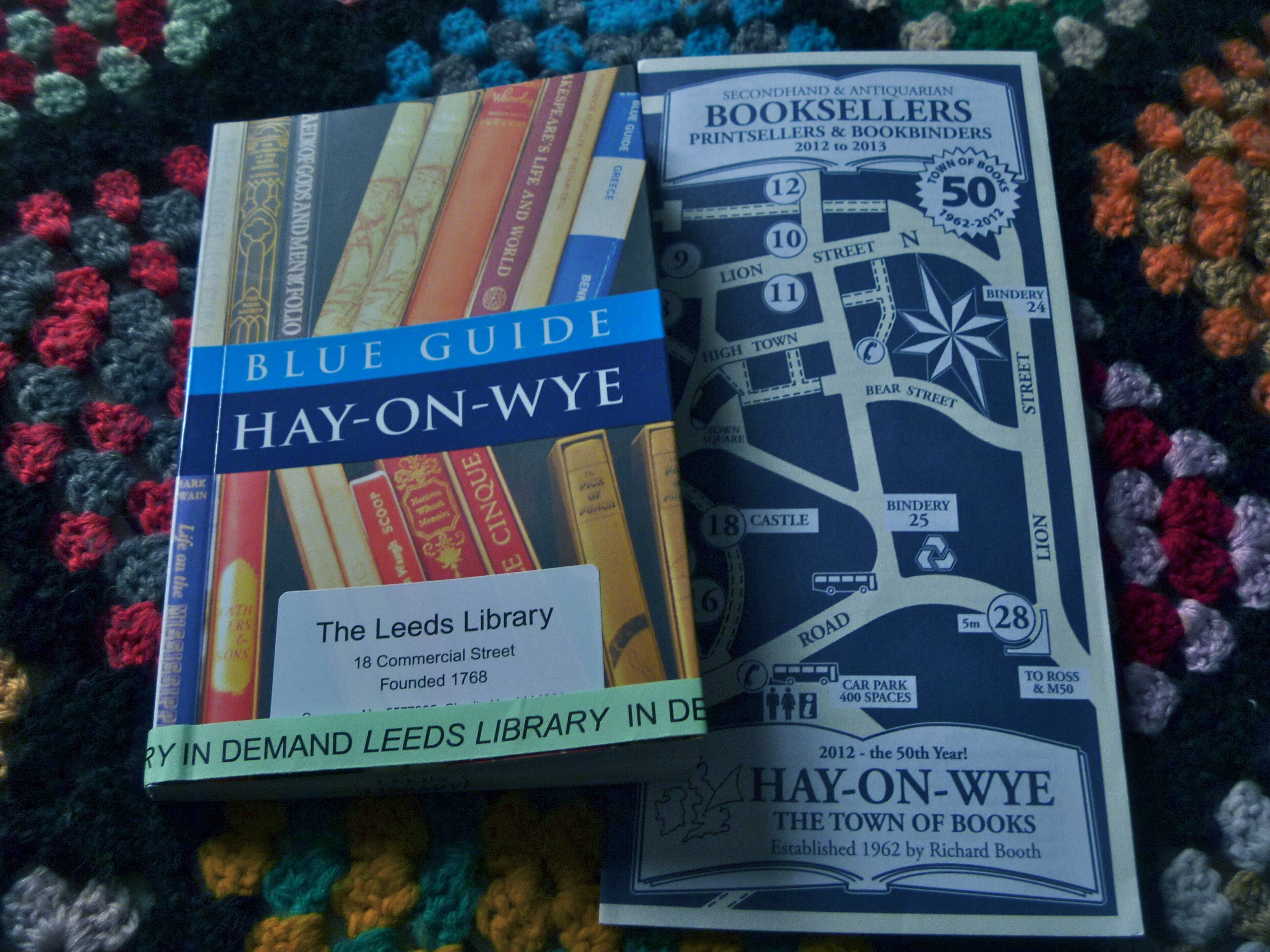
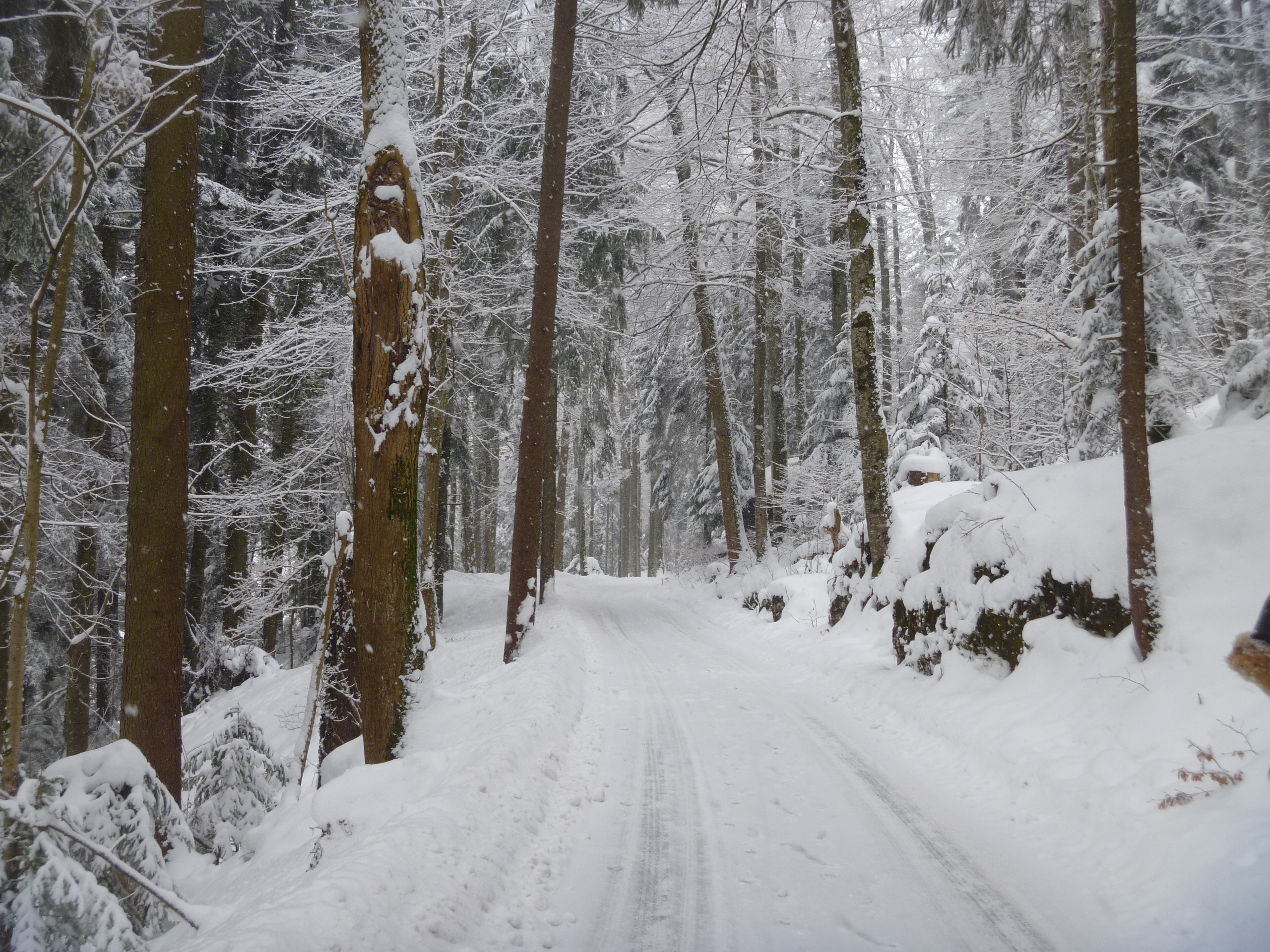
By yesterday spring was over and it was winter again – misty, wet and cold. No problem, we thought, for today we have the pleasures of Hay-on-Wye, Wales’s own Book Town, in store.

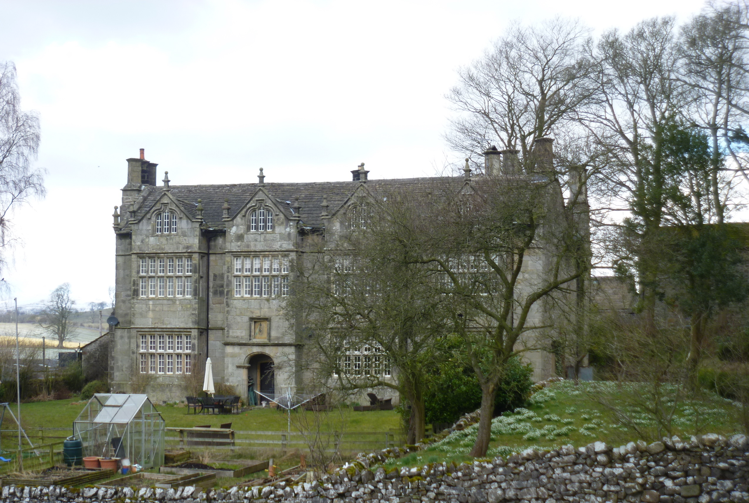
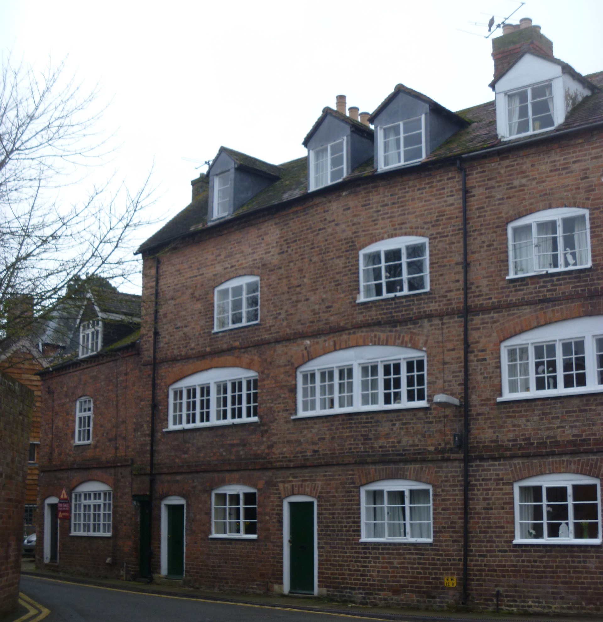
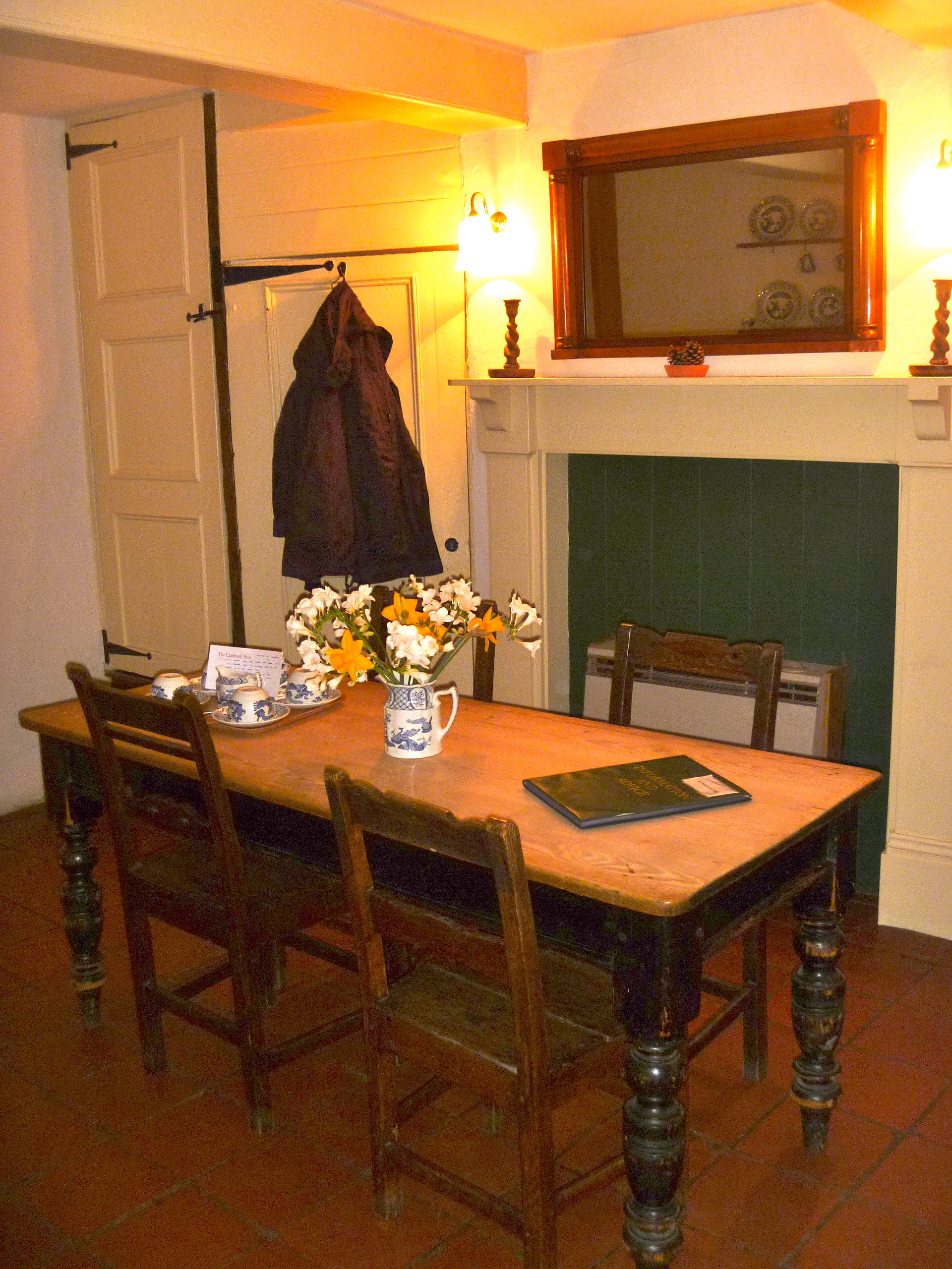
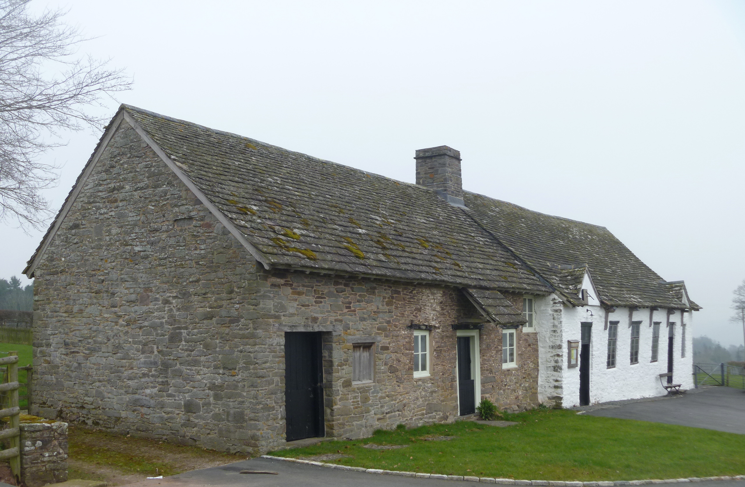
On our journey to Hay we took two very short detours. The first was to visit the Maesyronnen Chapel. Fortuitously, the adjoining former minister’s house is now a Landmark Trust property.

Maesyronnen

Here is an extract from the History page from the LT’s webpage for Maesyronnen Chapel:

“A Chapel Founded just after The Act of Toleration

Here we have taken on the neat and tiny cottage, built before 1750 onto the end of one of Wales’s shrines of Nonconformity, the Maesyronnen chapel. This chapel, converted from a barn in 1696, dates from Nonconformity’s earliest days, when any suitable building was made use of for enthusiastic worship. It was probably used for secret meetings even before the Act of Toleration legalised such gatherings in 1689, which explains its isolated position. Services are still held in the chapel, which is cared for by Trustees, who asked for our help. By taking a lease on the cottage we hope we have helped give both buildings a future.”

Kilvert Memorial Clyro

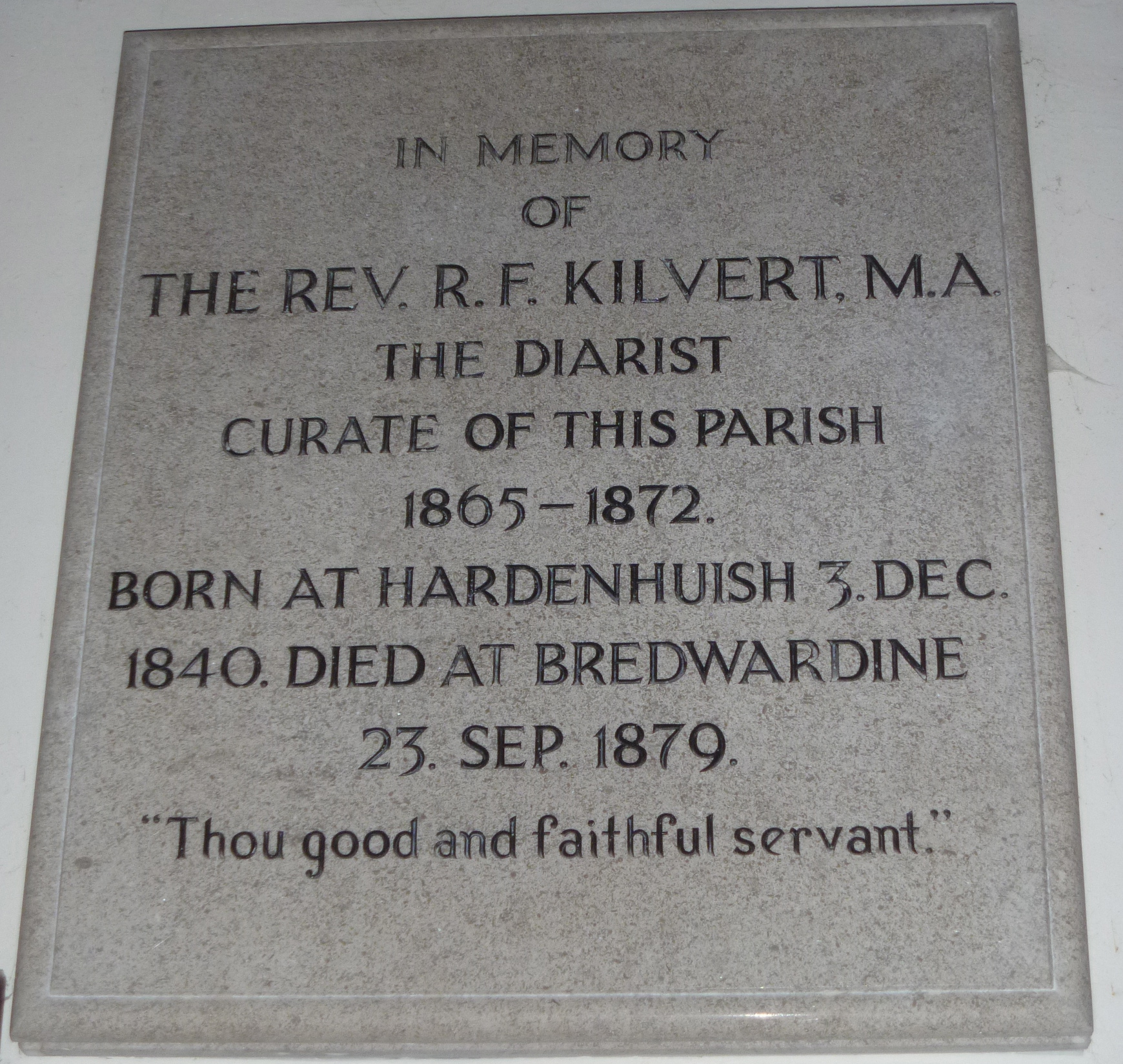
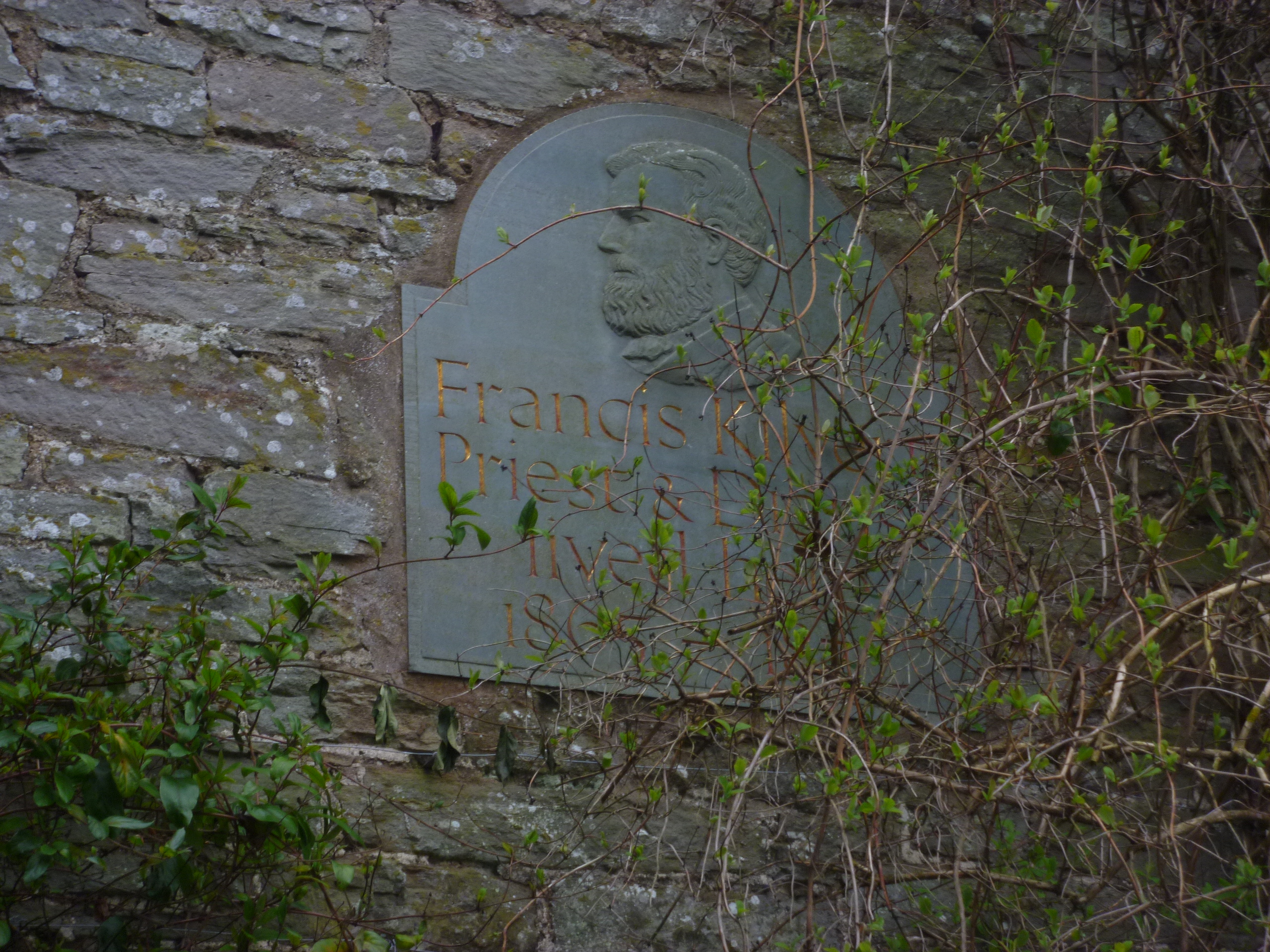
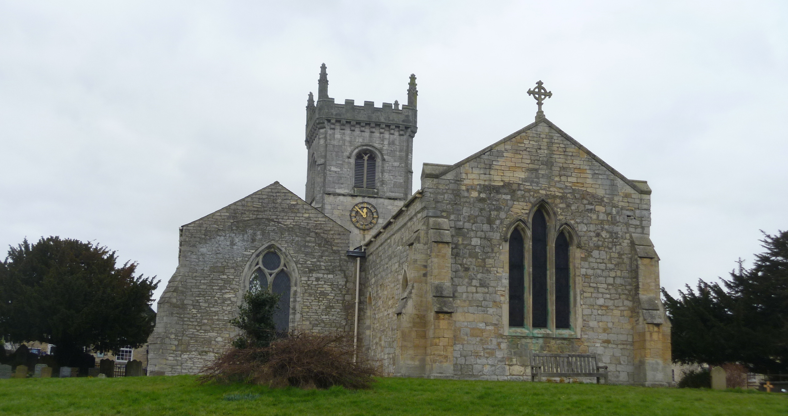
Francis Kilvert Memorial in Clyro Parish Church

St Michael's Clyro

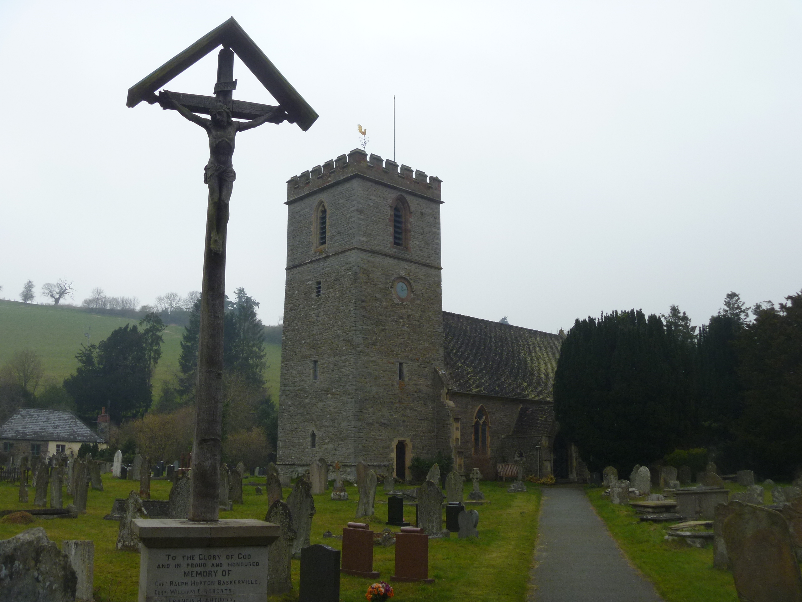
St Michael’s Church, Clyro

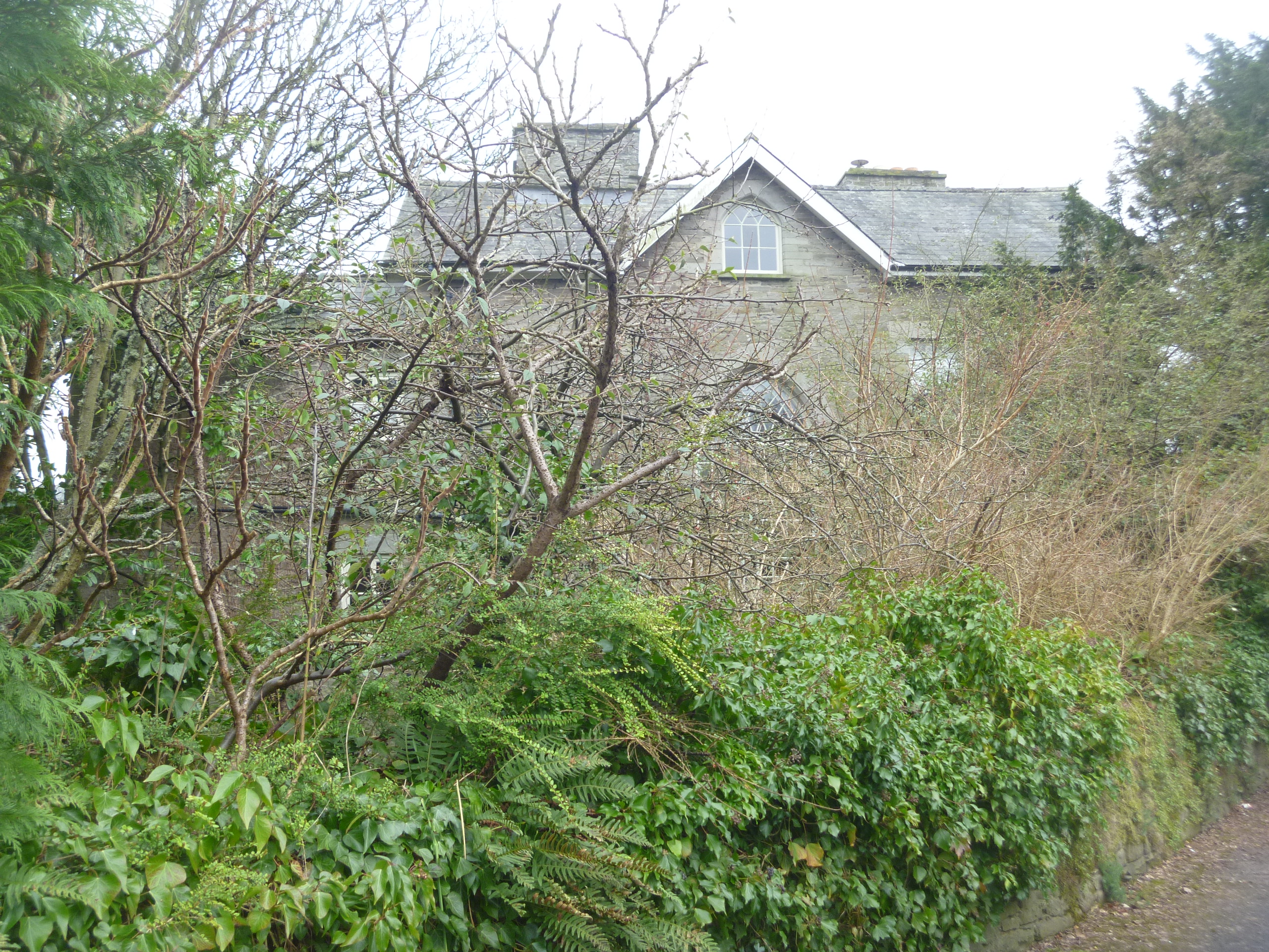
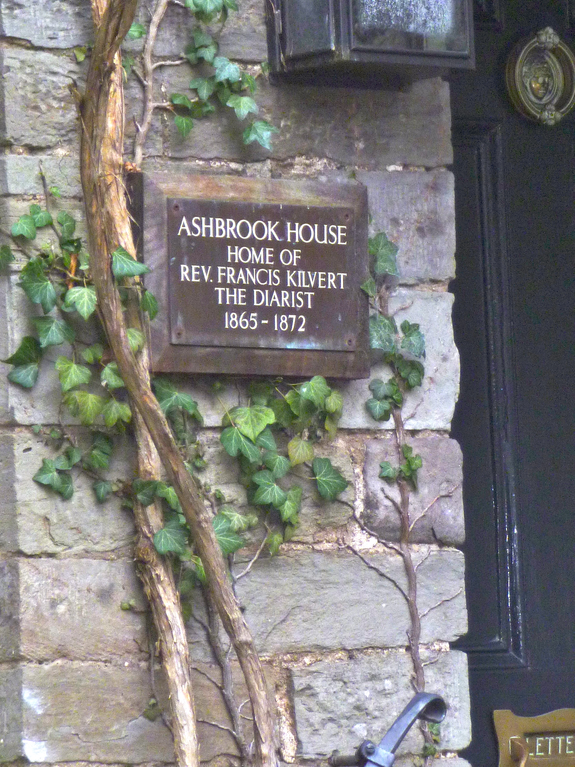
From Maesyronnen it was a short drive to Clyro and the former home of the Reverend Francis Kilvert famous for diaries recording his daily life and walks in the area. Kilvert was curate at Clyro when he began writing his diaries but he only lived there between 1865 and 1872. He lived at Ashbrook House which, until recently, had been an art gallery but currently the garden looks rather overgrown and unloved. Two plaques on the wall of the house record the fact that Kilvert lived here.

Ashbrook House, Clyro

Ashbrook House, Clyro

Kilvert lived here 1

Kilvert lived here 2

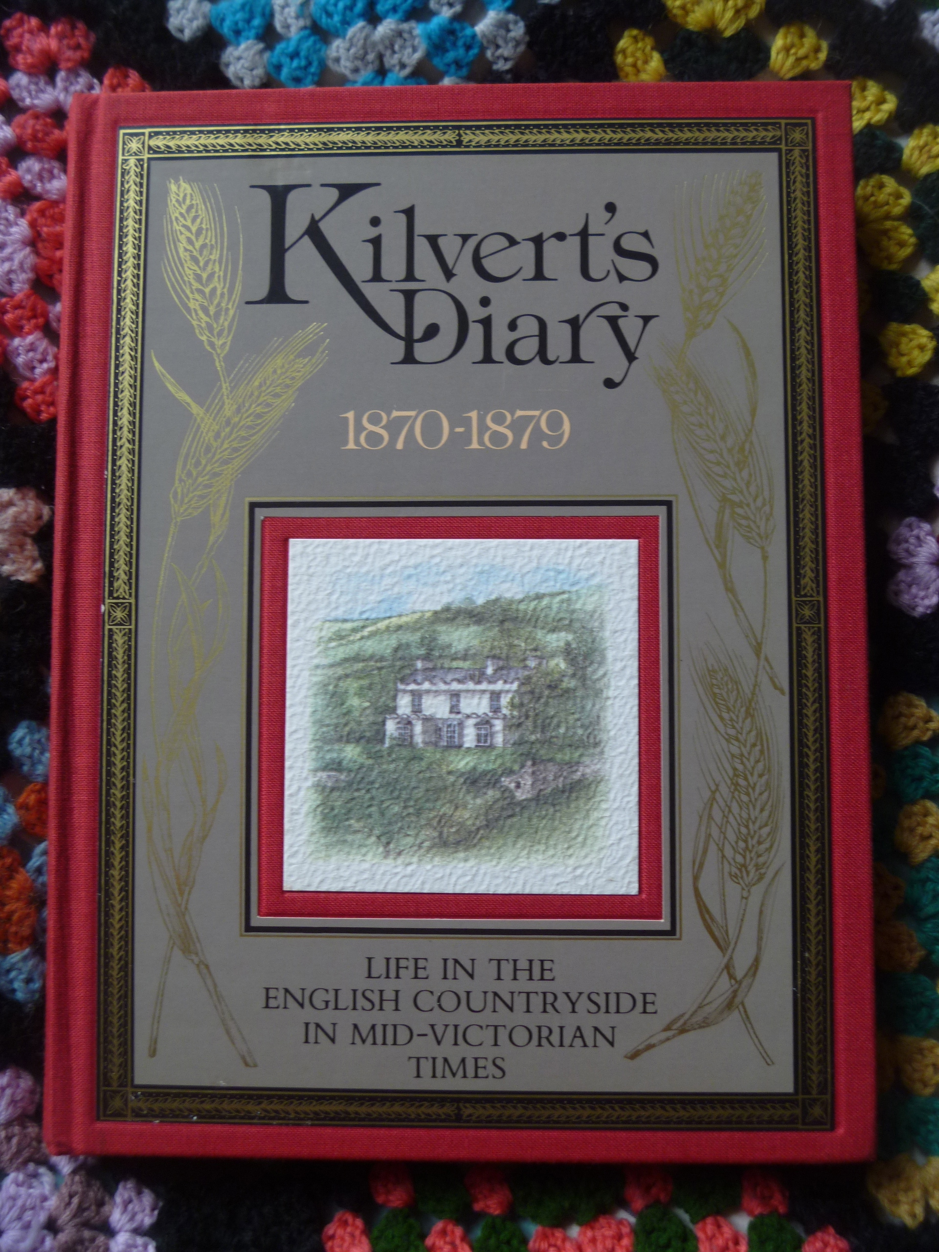
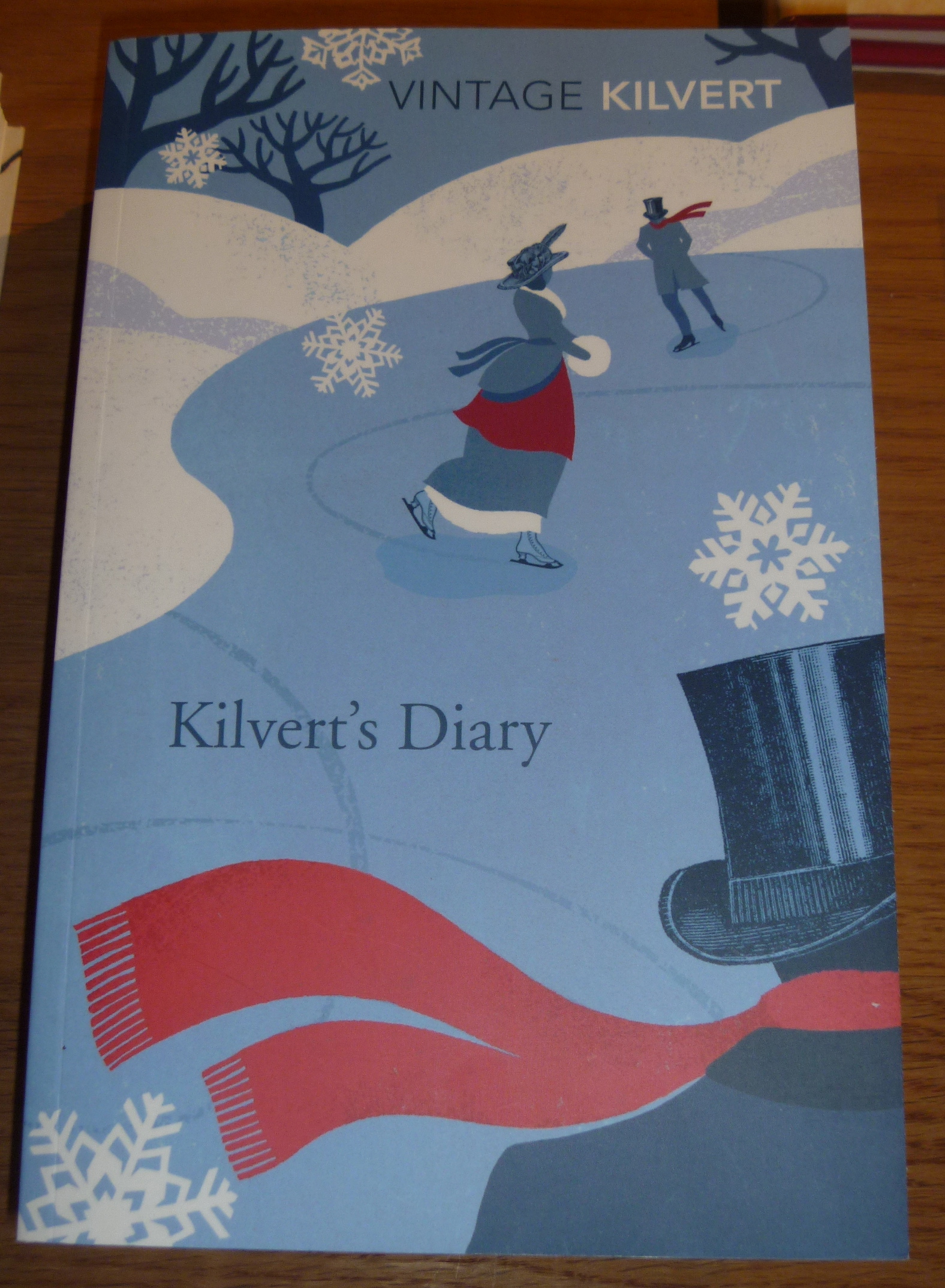
Read an interesting article here about Kilvert, the man, and his diaries.

It ends : “Sadly, it’s difficult to find copies of Kilvert in bookshops today. The one-volume abridgement, published by Penguin, and subsequently by Pimlico, has fallen out of print, while Plomer’s three-volume edition has long been unavailable. To celebrate the 70th anniversary, Cape should consider authorising a critical edition of the diary, drawing on the surviving manuscripts, as well as on the background information amassed by the Kilvert Society in the years since its foundation in 1948. That way we might have the opportunity to gaze afresh on the radiant, picturesque world of the Rev Kilvert.”

Kilvert's diary 2

Kilvert's diary

Well, all that has changed and we saw several versions of the diaries in Hay book shops in the full 3 volume format (for around £130+) as well as reissues of the abridged version, above.

Baskerville Arms, Clyro

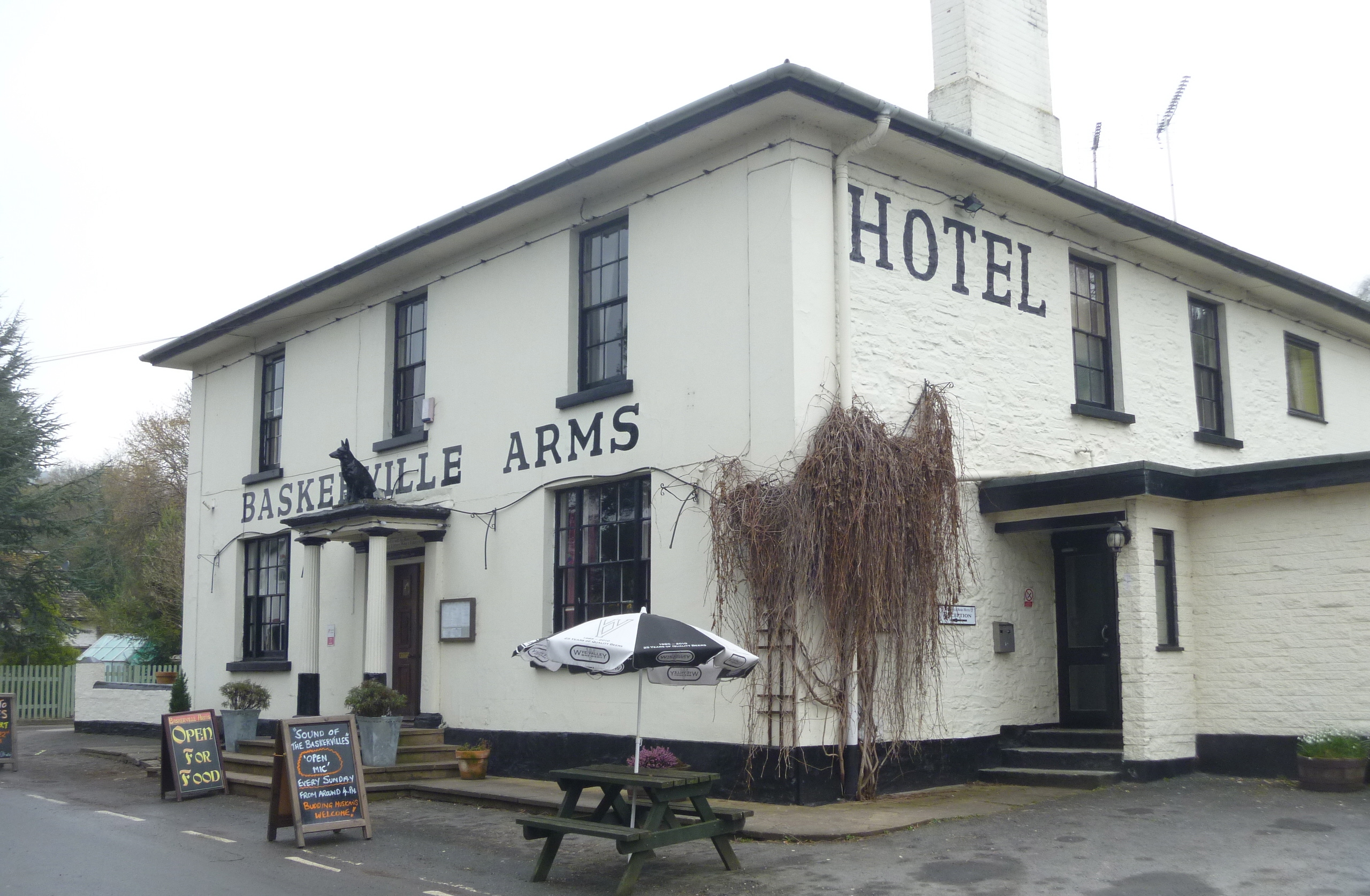
Clyro is also the location of the Jacobean-style mansion built by Sir Thomas Mynors Baskerville a friend of Sir Arthur Conan Doyle who borrowed his friend’s name when writing The Hound of the Baskervilles. The house is now a hotel and needless to say there is also a pub of the same name.

Prep for Hay

And so on to Hay itself. Despite planning in advance which shops to visit and preparing lists and so on I found that I was rather overwhelmed with choice. I realised that I am so dedicated a library user these days that I have less and less need to actually own books. It also seemed to me that in each shop we visited the value of each book was known and there was very little chance of a real bargain. However, that said, it’s an extremely pleasant way of spending a cold, damp Wednesday afternoon in March.
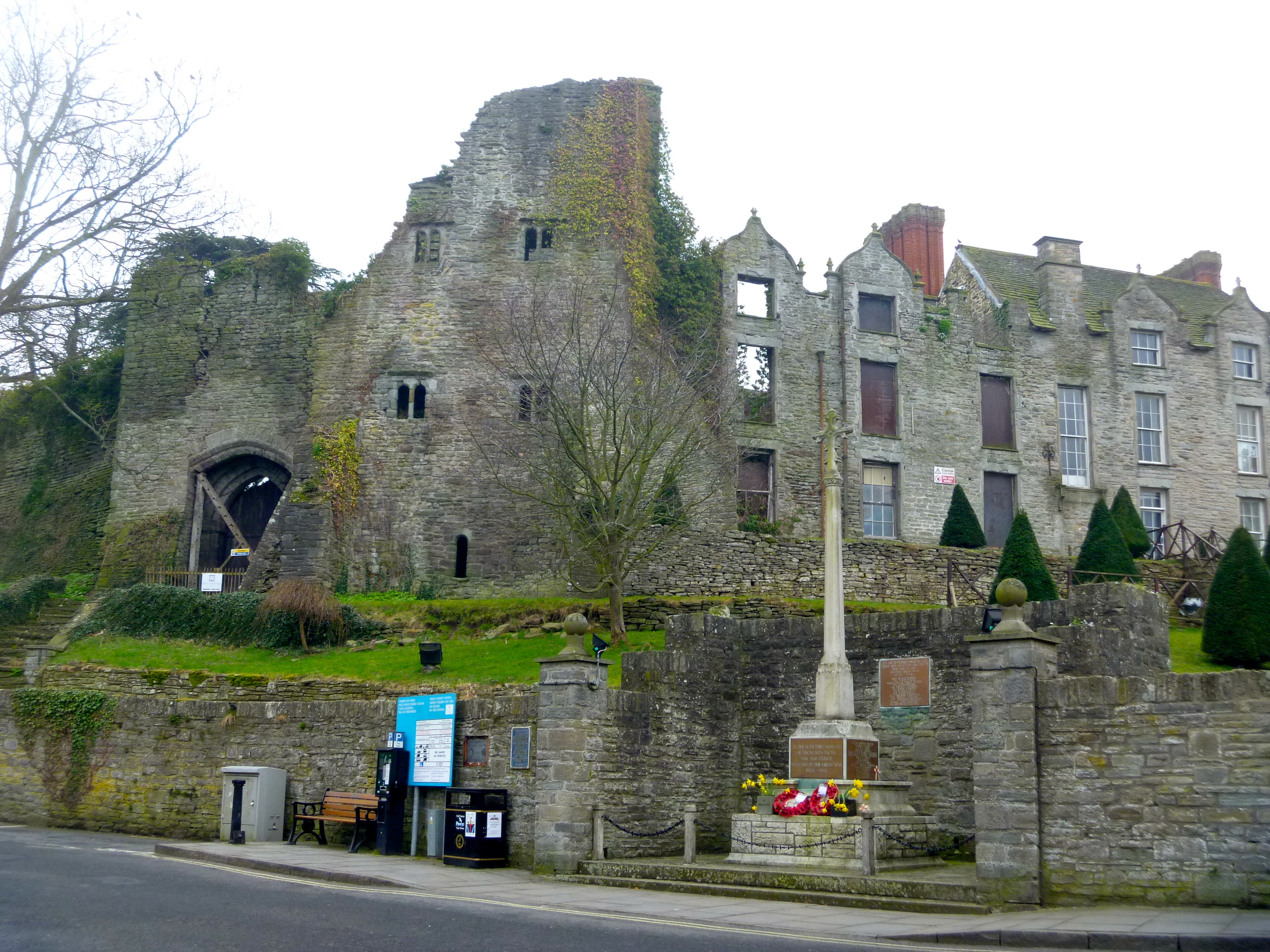
Hay Castle

Hay Castle

Richard Booth's Hay

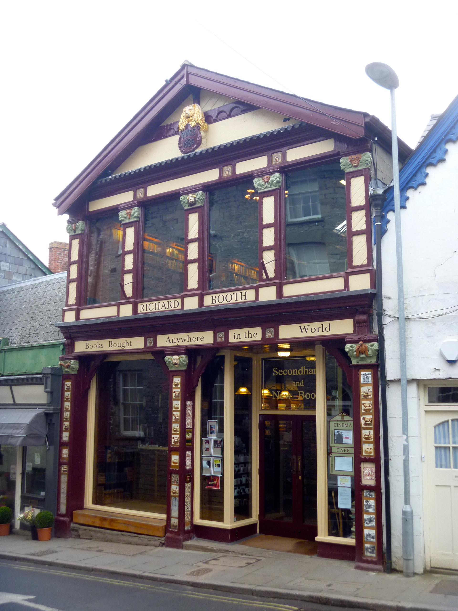
Richard Booth’s Books

Inside Addyman's Hay

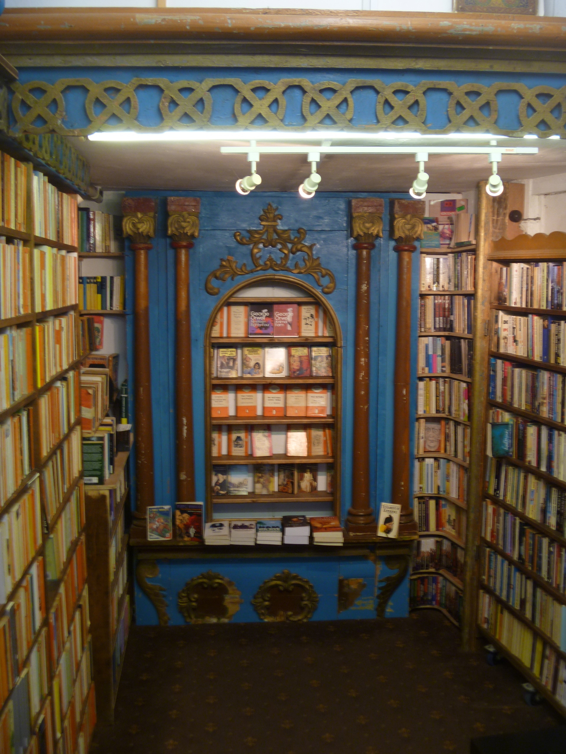
Inside Addyman’s Books at Hay on Wye

Honesty Bookshop Hay

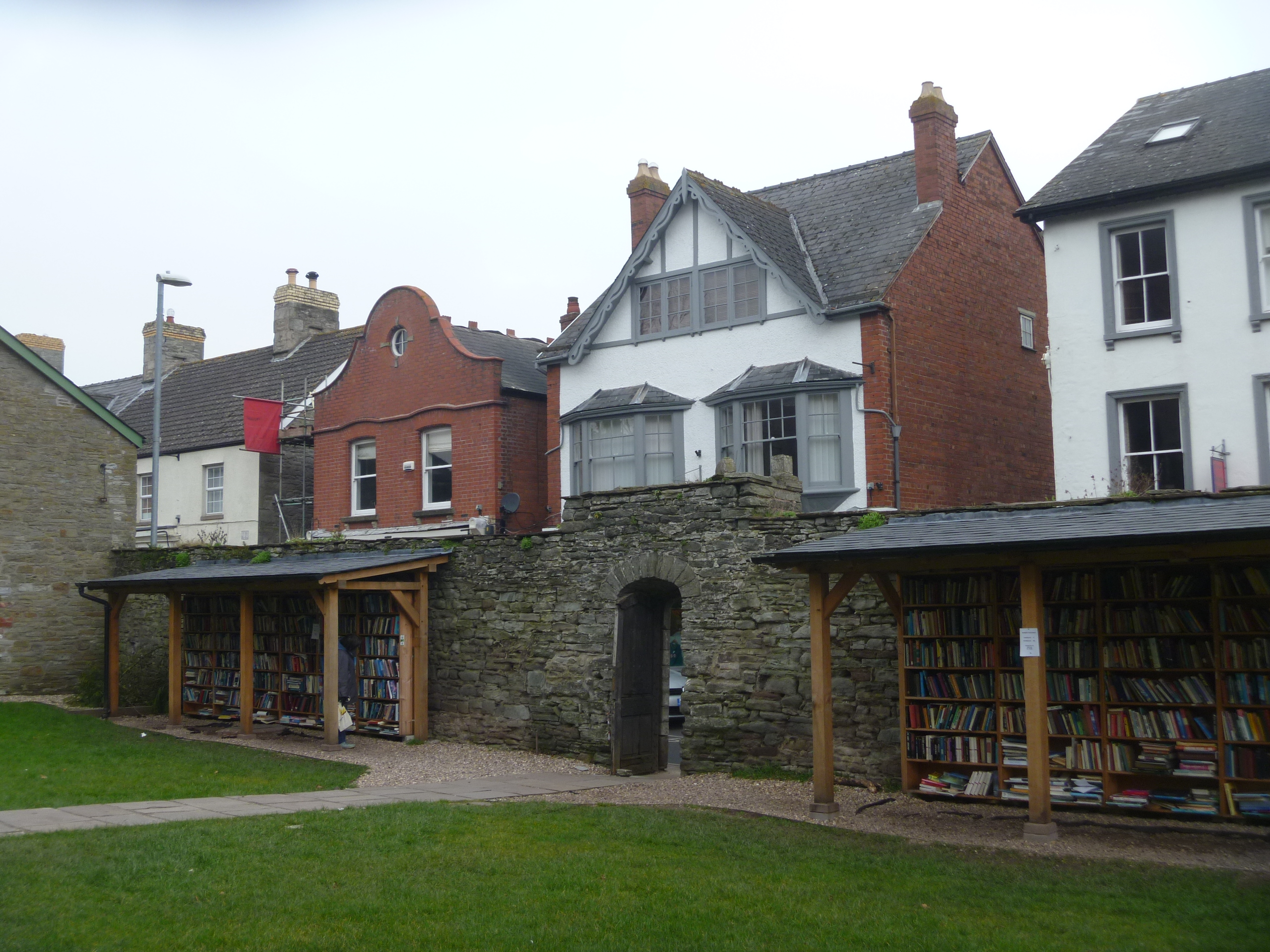
The Honesty Bookshop, Hay

I bought only one title and that was from the Honesty Book Shop in the Castle precincts – all hardbacks £1 and all paperbacks 50p. It is a hardback copy of The Nutmeg Tree by Margery Sharp. It’s in pretty good condition and I’m pleased with it.

The Ramblers’ Church, Lead, North Yorkshire

P1080600

Ramblers leaving the Ramblers’ Church

“Since being rescued by a group of walkers in 1931, St Mary’s has been known as the Ramblers’ Church. The repairs made then are recorded on the back of the church door.

Back of the door at Lead

The church stands alone in the middle of a field filled with the bumps and furrows of earthworks that indicate the site of a Medieval manor house, for which St Mary’s was probably originally the chapel.

In the middle of a field

Nearby is Towton, the site of the War of the Roses battle, believed to be bloodiest in English history which brought the Wars of the Roses to an end in 1461.

Battle of Towton

Battle of Towton Information Board, Crooked Billet Pub, Lead, North Yorkshire

Ten thousand men are said to have been killed, and Cock Beck, the little stream which you cross to get to St Mary’s, is said to have run red with blood. 

Cock Beck

Cock Beck

You can find monuments to crusading knights in this tiny 14th-century church.

Despite its awesome history, St Mary’s is a peaceful place. The tiny rectangular building is very simple. It was probably built by the Tyas family, whose massive grave slabs are set into the floor.

Massive grave slabs

The massive grave slabs

Carved with heraldic symbols and inscriptions, and dating from the 13th-century, they are an important and interesting collection.

Pulpit and altar

Pulpit, Clerk’s Pew and Reading Desk and Altar

Later additions were made to the church in the 18th-century, with a rustic pulpit, clerk’s pew, reading desk and painted texts.”

From the Churches Conservation Trust website.

Interior St Mary's Lead

Interior of the Ramblers’ Church

Richard III wondow

Window behind the Altar paid for by the Richard III Society – topical!

Today I have been out in the Yorkshire countryside. Weekday Wanderers headed east of Leeds to the flat countryside between Leeds and York. Flat but not uninteresting. Parking in Aberford we crossed the A1M by footbridge and eventually after a while left the noise of the highway behind and crossed fields and followed easy tracks on a circular walk that included a ‘castle’, a village, two churches and two pubs. We stopped at one of the pubs for our picnic lunch and had a look at one of the churches – St Mary’s, Lead, The Ramblers’ Church. We were not quite on the Battlefield of Towton, mentioned above, but we did return to the cars alongside Cock Beck. The perfect winter ramble.

The ‘castle’ was Hazlewood Castle now a very popular luxury hotel and wedding venue. Originally owned and lived in by the Vavasour family from 1971 until 1996 it was a Carmelite Friars’ retreat and opened as a hotel in 1997.

Hazelwood Castle

Hazlewood Castle

Saxton Church

All Saints Church, Saxton

The Greyhound, Saxton

The Greyhound Pub at Saxton

Crooked Billet

The Crooked Billet Pub, Lead near Saxton North Yorkshire

Muddy boots welcome

Muddy boots welcome! The sign of a good pub!

Walking in a Winter Wonderland at A and B. Adelboden and Bürgenstock.

ADELBODEN

Adelboden sign

When I arrived in Adelboden the Friday before last I had with me hiking instructions for a “Panorama trail on a sunny slope” supplied on the myswitzerland.com website. It was already snowing madly so I enquired at the Tourist Office whether the trail would actually be cleared. The response was that the trail was closed due to avalanche warning. An alternative was suggested and the details supplied. It’s never a problem undertaking a hike in Switzerland. You don’t need maps and GPS and all that pallaver. Every time there’s a cross roads or split in the path the sign will indicate the way. It will also give an indication of difficulty and an approximate time to get you comfortably to your destination.

Snowy Adelboden

Adelboden from my snowy path

My recommended destination was to be Schermtanne where there’s a restaurant and from where I could catch a bus back to Adelboden in time for my 2pm appointment at Our Chalet. An hour and a half steady walk would be just fine. Still the snow continued to fall as up and up I went along the snowy path. The whole valley soon spread out before me but no sign of the snow abating.

Boots gone!

Too deep for my boots!

The road became a track, became a path and the snow got deeper and deeper. After three quarters of an hour I came across a woman with snow shoes and with two small children in sledges pulled by two dogs.

Adelboden sledding

The woman advised me not to go any further as I was not wearing snowshoes. I carried on to a little viewpoint and the next sign post.

Time to give up

The snow’s rather deep so time to turn back.

From there I was happy to descend to town again. The snow began to ease up and by the time I was back in the village the sun out and blue sky showing behind the clouds.

Sun coming through

Cafe Schmid

I was glad to get my legs under the table in the Cafe Schmid!

BÜRGENSTOCK

Track to Bürgenstock

Path to Bürgenstock

Towering way above Lake Lucerne in Central Switzerland is the rocky outcrop of the Bürgenstock. It isn’t particularly high but the views (on a clear day) are dramatic. There used to be two or three very grand hotels but the whole lot looks to be coming down and a new resort is under construction. In summer there’s a lift from the little quay on Lake Lucerne up to the summit and the hotels (there is even a golf course) but last Tuesday we drove up the twisty turny road from Stans and parked at the Villa Honegg and walked for about 40 minutes along a fairly clear path (considering the amount of snow that was falling). Did I mention that this part of Switzerland had not had so much snow fall since 1970?

B.Stock signpost

Bürgenstock signpost

On Bstock path

On the Bürgenstock path

Nur für Golfspieler

Only for Golfers

Chapel at Bstock

The Chapel at Bürgenstock

We tried to see the view of the Lake but it was impossible so returned to the VH for a warming pot of tea.

Lake Lucerne

Impossible to see Lake Lucerne from the viewpoint

“High Up, High On The Mountain, We’ve Founded Our Chalet”

Our Chalet cards and map

1. High up, high on the mountain,

We’ve founded our Chalet,

Its sloping roof and wide

Shall shelter us without a care.

And each Girl Scout and Guide Shall find a welcome there.

2. High up, high on the mountain,

We’ll go to our Chalet;

Our simple life is free,

Our hearts are light, our songs are gay,

We ever shall remember The joys of our Chalet.

3. High up. high on the mountain,

We’ve founded our Chalet;

And this its dedication

Shall never fail nor be undone:

Each race, each creed, each nation,

Beneath its roof are one.

Welcome to OC

I remember ‘Our Chalet’ song from my first ever visit abroad when I travelled by coach from Norwich with a group of other Girl Guides and our Leaders to Switzerland, via Paris. Those two places visited on that occasion have remained two of my favourite places – ever. Here’s photo taken for our local newspaper which I stuck into my Swiss notebook :

EEN pic

Finding myself with a free day on the Friday I decided to retrace those early steps and revisit ‘Our Chalet’. I looked up the details online and booked one of the tours offered at 11am and 2pm daily.

Postbus

The journey to Adelboden involves taking the train via Spiez on Lake Thun to Frutigen from where a Postbus takes you up, up, up, to very snowy Adelboden. I instantly had my bearings even after 47 years and remembered the church on the village street (Dorfstrasse) and the pretty chalet-style shops.

The only difference to me was the presence of an amazing amount of snow. Of course, my first visit had been during the school holidays in August.

English Church Adelboden

The English Church, Adelboden

Dorf Strasse

Dorf Strasse Adelboden

In the tourist office I picked up a map, the details of a walk along so-called cleared paths (more about this half of the day later) and exact instructions as to the location of Our Chalet.

Adelboden

Adelboden from the path to Our Chalet

Arriving at Spycher

Arriving at Our Chalet

It was an easy walk – mostly down hill – and I arrived just on time at the Chalet for my 2pm tour. I was welcomed by Cat (Guest Services) and Skippy (the cat).

Skippy

Sonya from Rwanda The Guest Services Intern was to be my guide for the afternoon. The tour starts with a PowerPoint Presentation on the history of WAGGGS (World Association of Girl Scouts and Girl Guides) and of how Our Chalet came into being back in the 1930s.

Sonya

Sonya

British Visitor map

Map indicating British visitors to Our Chalet so far this year – the blue drawing pin in Yorkshire is me!

After inspecting the notice boards and maps and displays in the conference room Sonya showed me around the buildings and in particular the main and original ‘Our Chalet’ where we had spent an evening singing campfire songs and meeting other Girl Guides from around the world, all those years ago.

OC dining room

Our Chalet Dining Room

Our Chalet

OC shop

The Shop

All too soon the tour ended with a visit to the shop and I bought a few postcards (illustrated at the top and to go with the postcard I bought on my last visit). I already had an Our Chalet badge. As I was leaving and saying ‘Goodbye’ to Skippy the cat I was happy to exchange a few words with Sally Thornton Our Chalet Manager. Sally is from Australia, has been at OC since 2009 and plans to retire in April and return to family in Oz.

Sally Thornton

Sally Thornton, Our Chalet Manager

P1080307