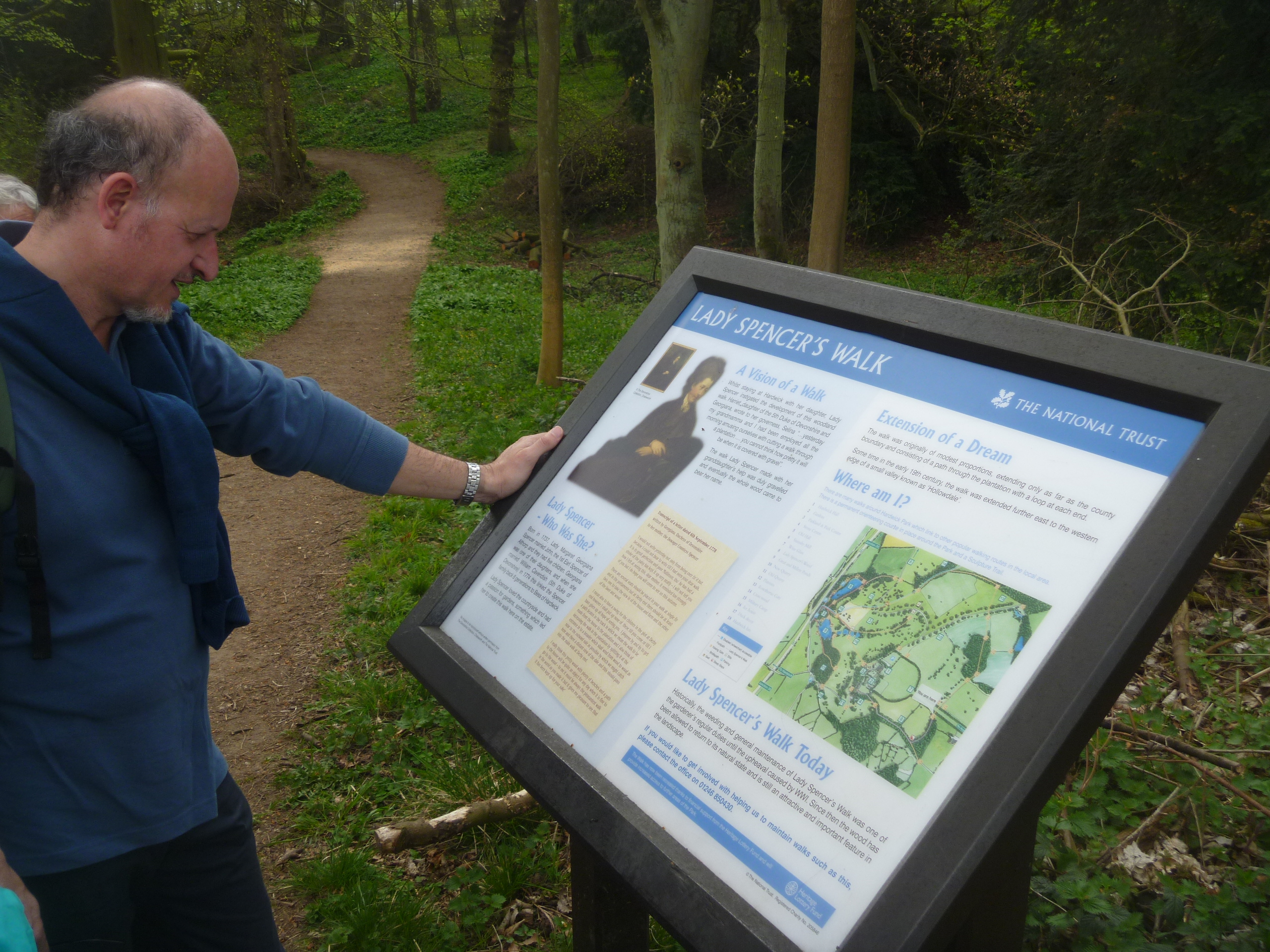
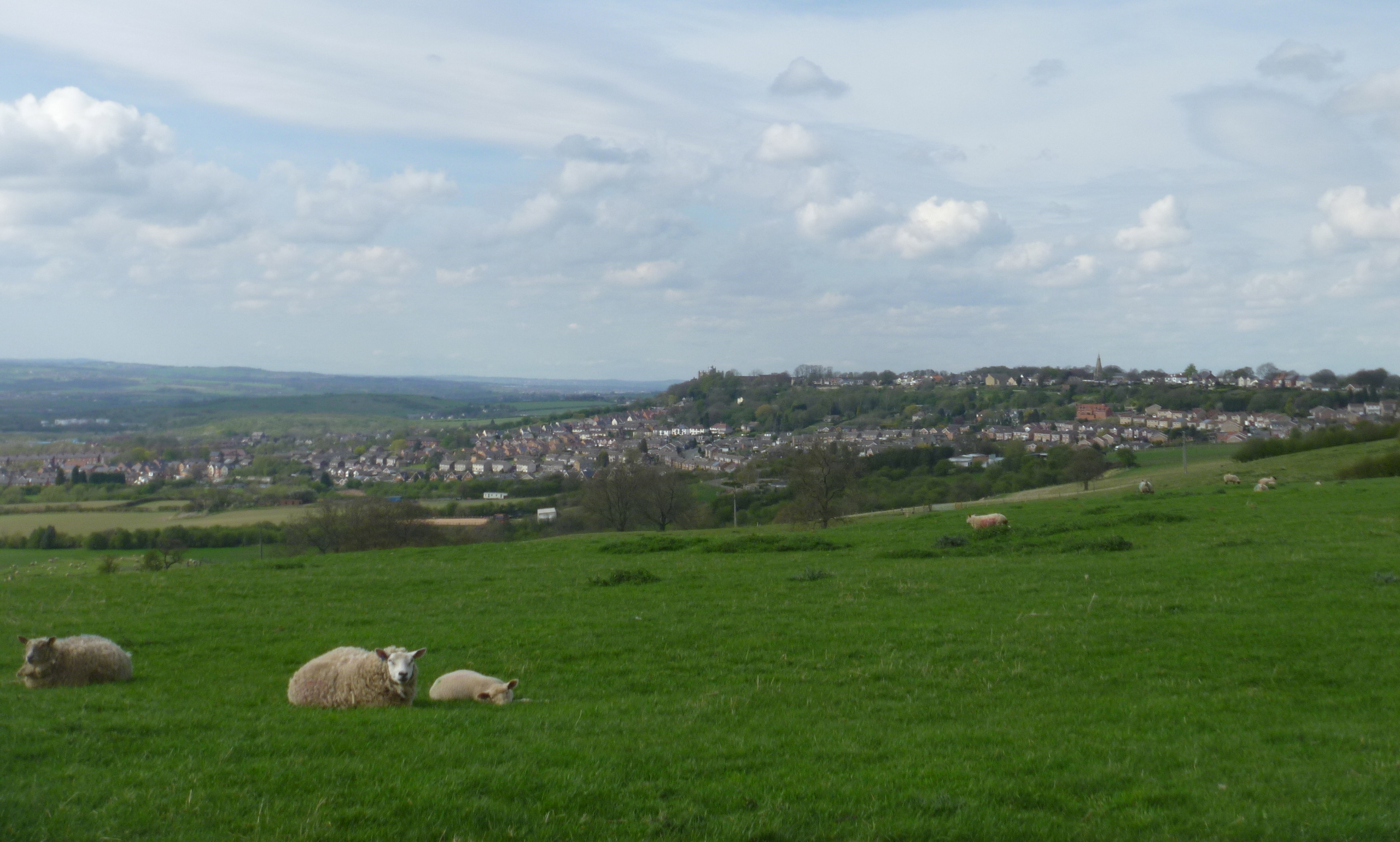
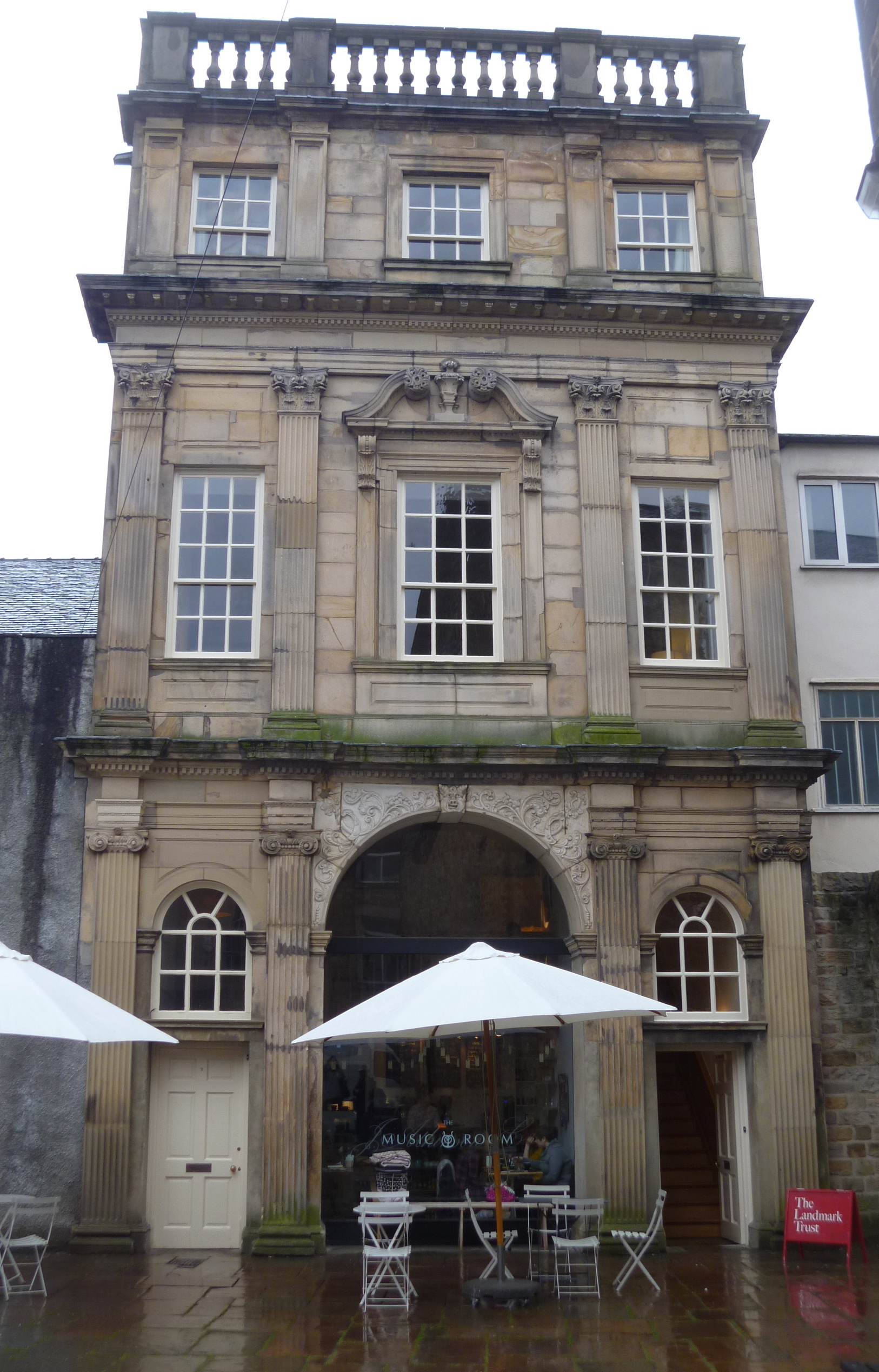
The Interpretation Trail Map
Amongst many generous donors towards the reconstruction of Astley Castle the Heritage Lottery Fund was one of the major ones; giving a grant of well over a million pounds to help the project on its way. HLF grants come with strings attached. So Astley Castle, quite rightly, enjoys many features and events not normally connected with Landmarks, in which the general public may be involved such as local school visits, open days and living history weekends. Public involvement has also included art exhibitions and a competition to design an Elizabethan knot garden in the grounds.

The Winning Knot Garden
One excellent result of the HLF involvement lead to the establishment of an Interpretation Trail on public footpaths through the area surrounding the castle (but keeping to the other side of the moat!). Information boards along the route explain the views and relate the history of the castle and its royal connections. Of course, I walked this trail many times in both directions. The views changed as the weather and light did throughout each day.
Let me take you along the trail. (Numbers refer back to the map above)

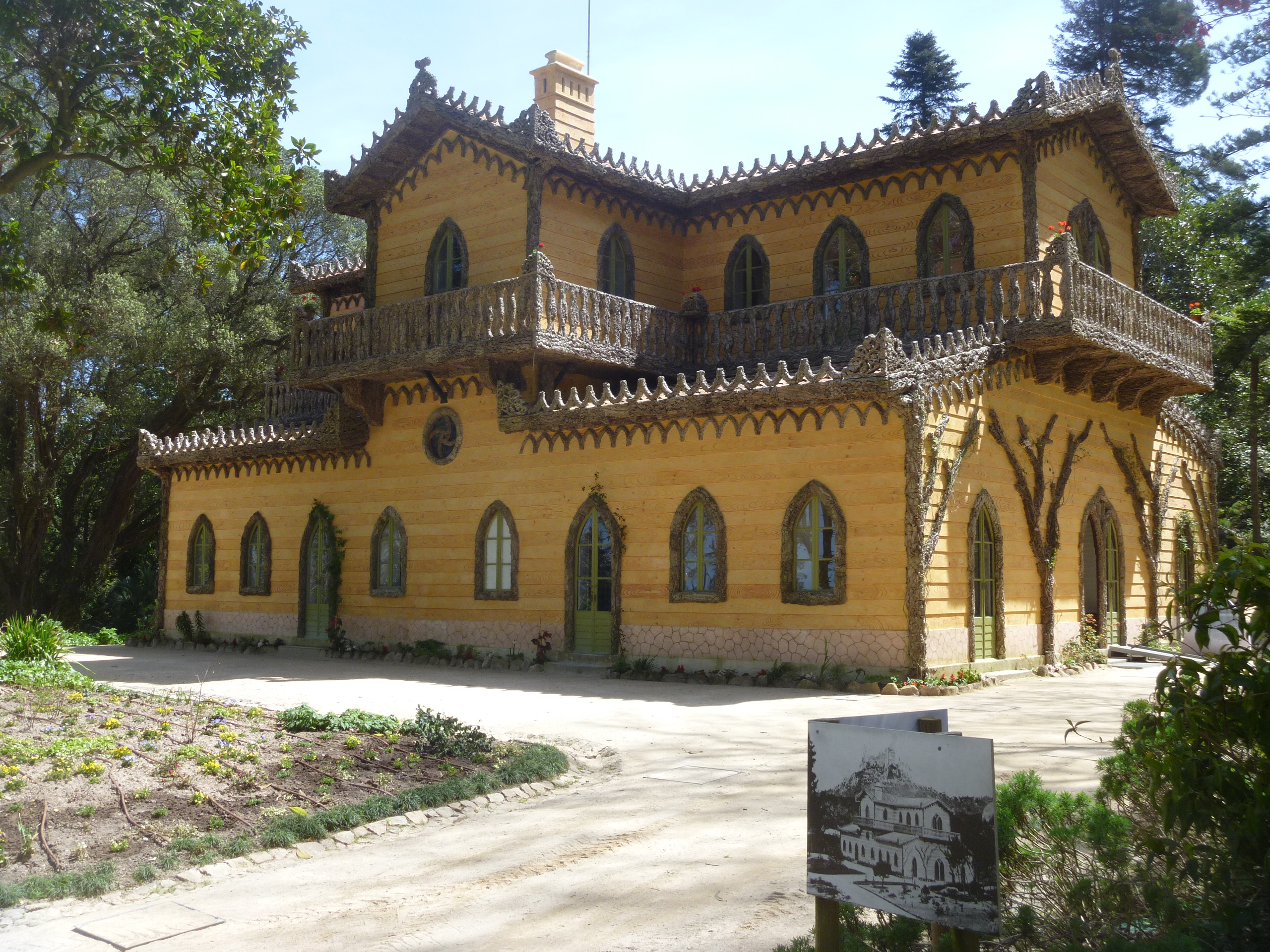
Astley Reading Room
1. At The Astley Reading Room two boards give a general introduction and explain the creation of Astley Castle as a ‘Landmark for the 21st Century’.

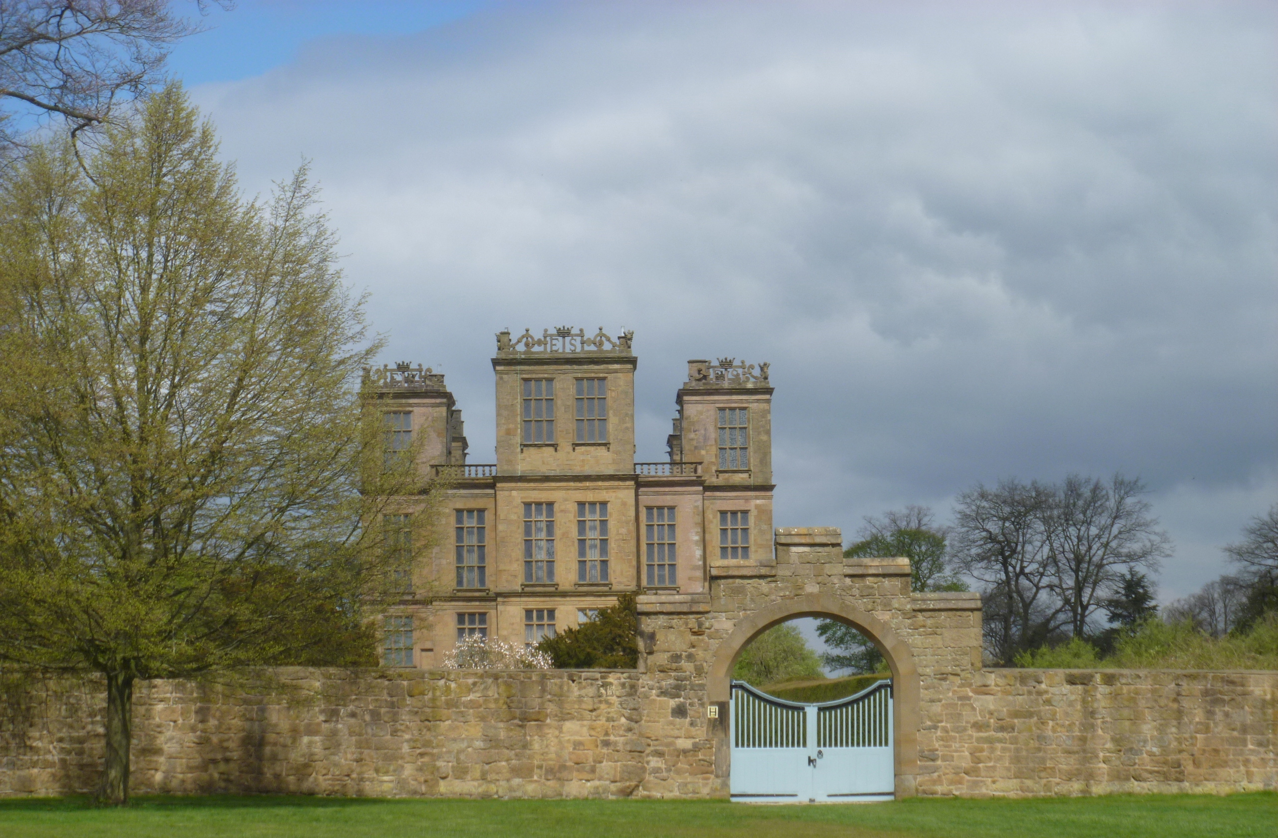
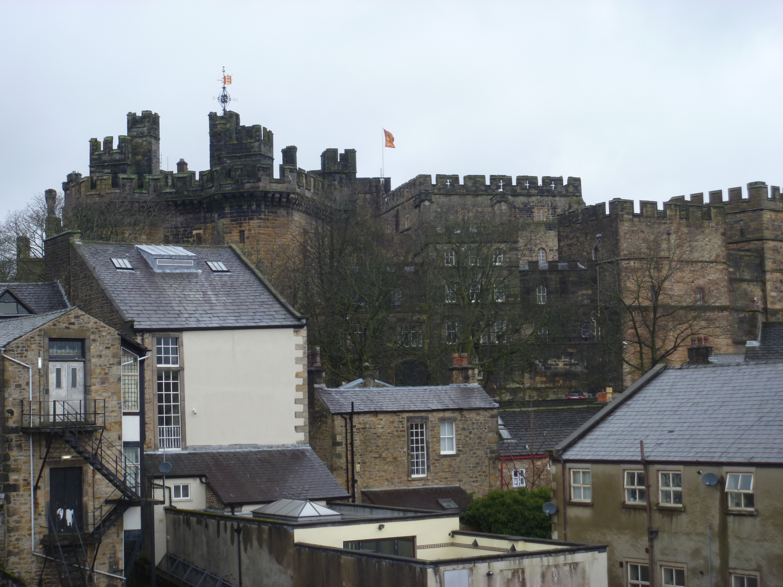
Astley Castle : South Elevation
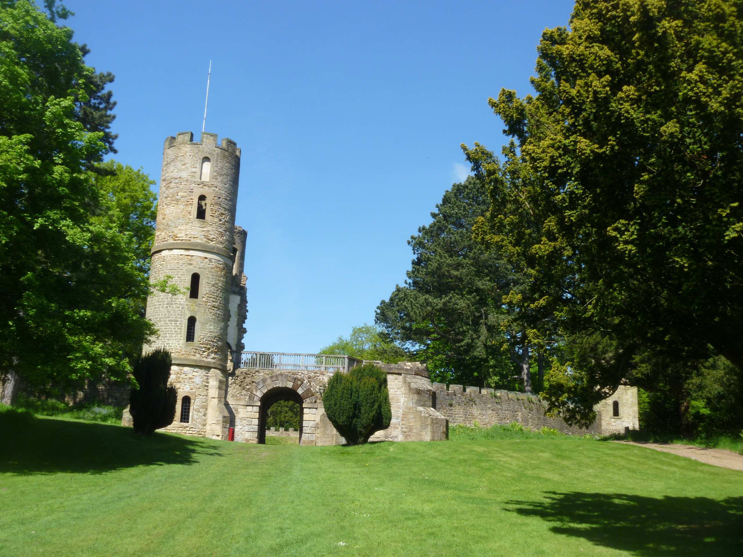
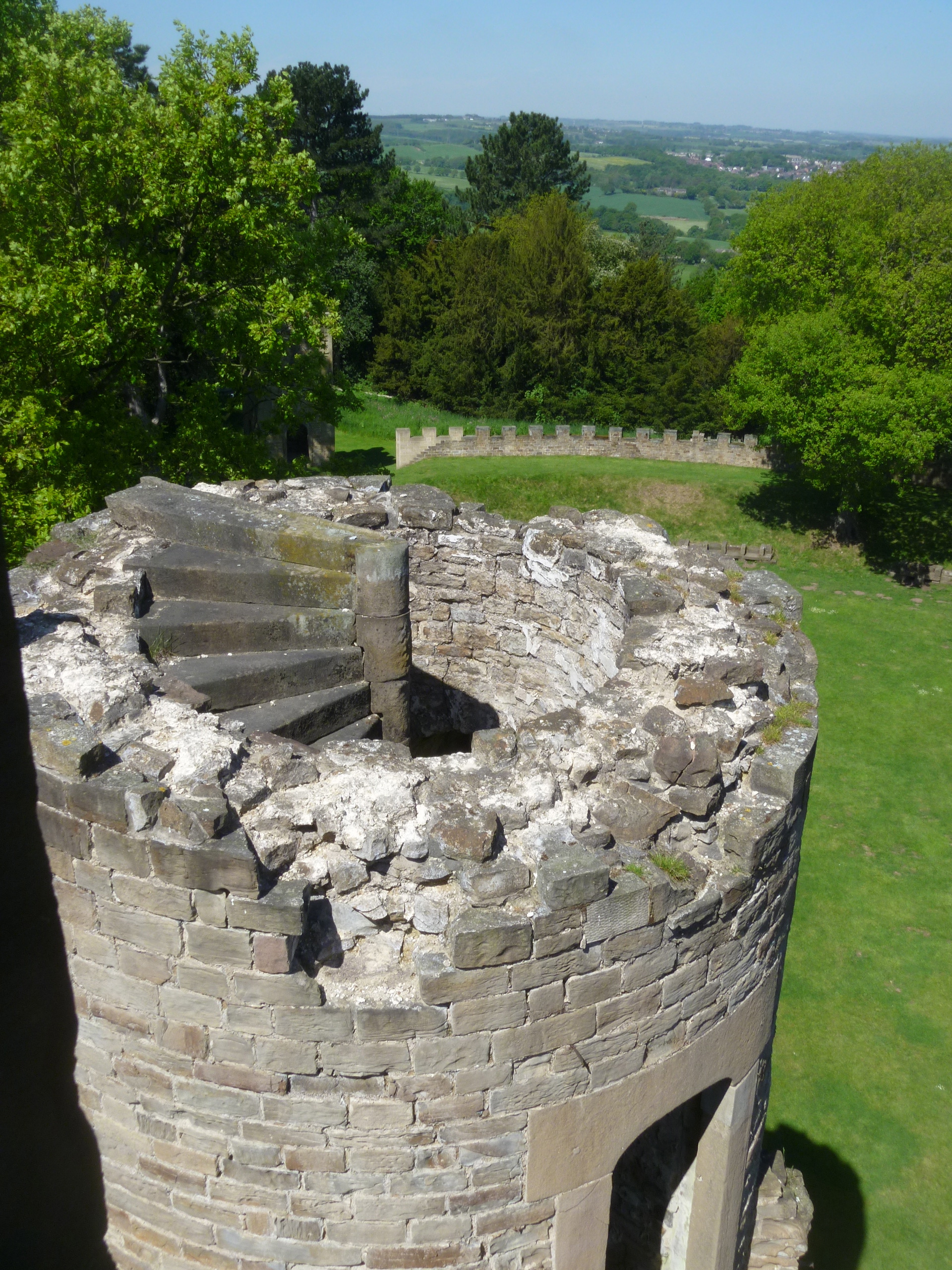
2. Astley Castle : South Elevation. Staying at the castle; this is where I began the trail each time.
“This ancient structure still remains, and the grounds surrounding it being tastefully laid out and kept in good order.” (Smith’s “A new and complete history of the County of Warwickshire”, 1829)

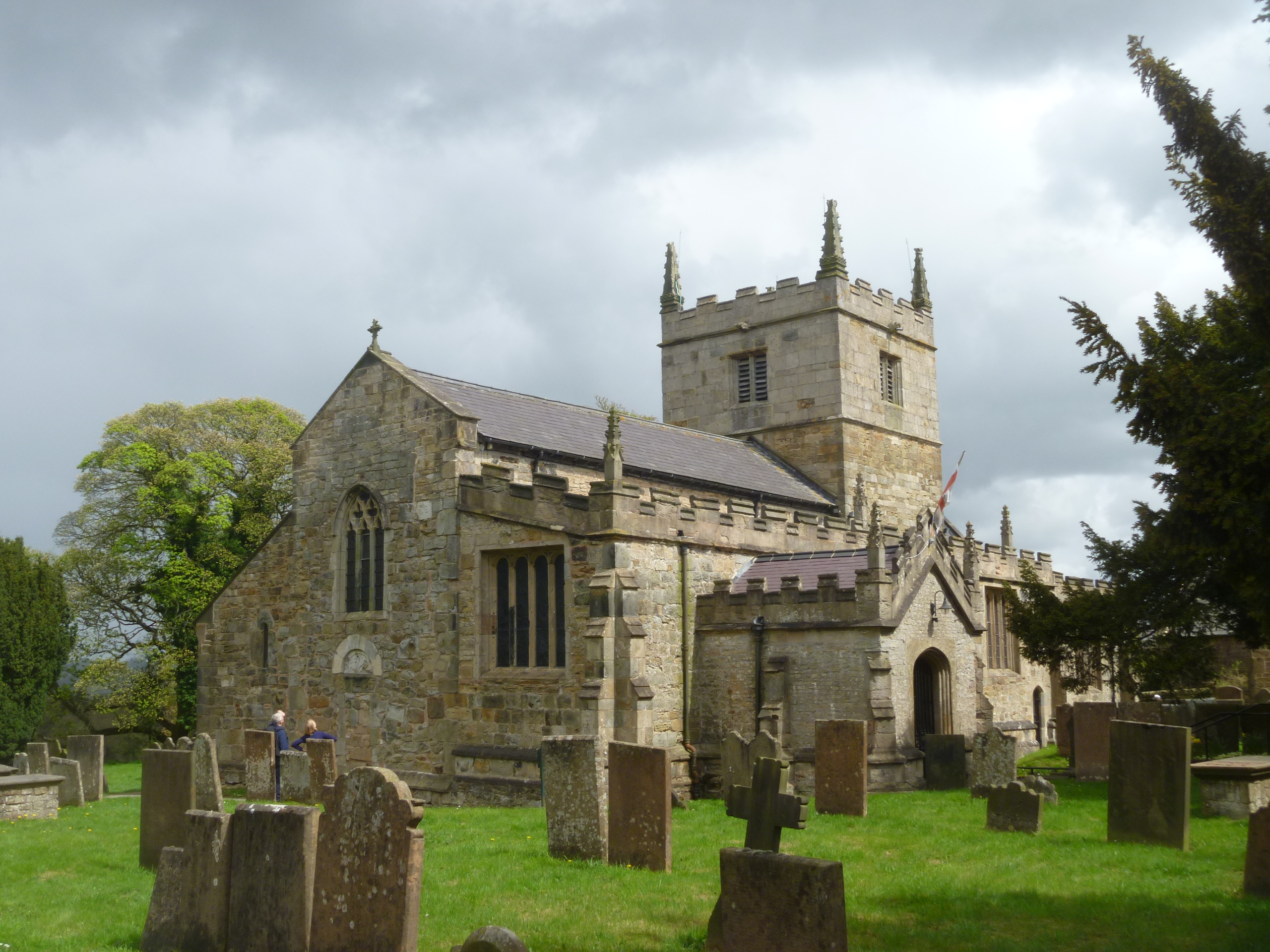
Astley Church

From the Interpretation Panel
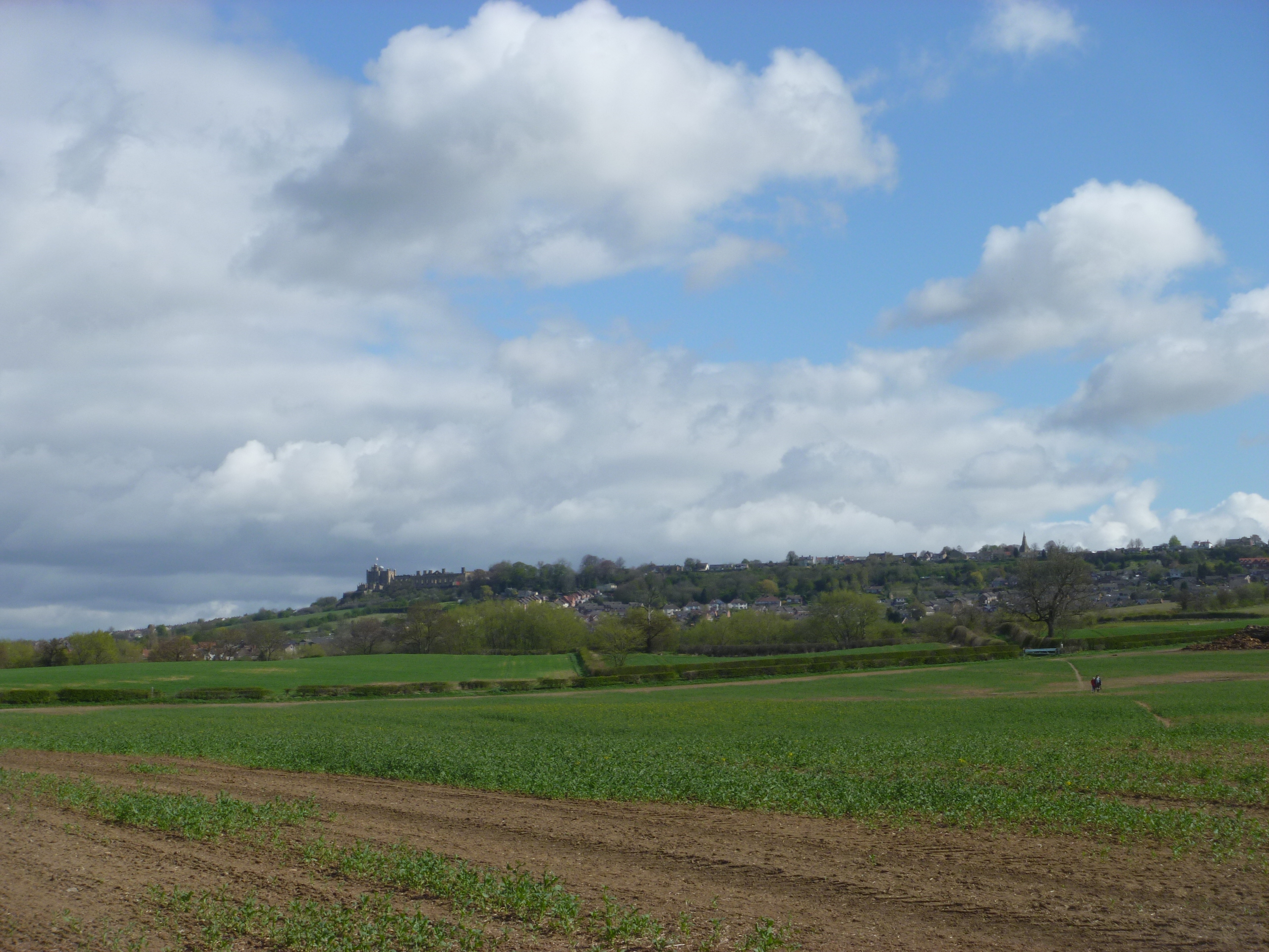
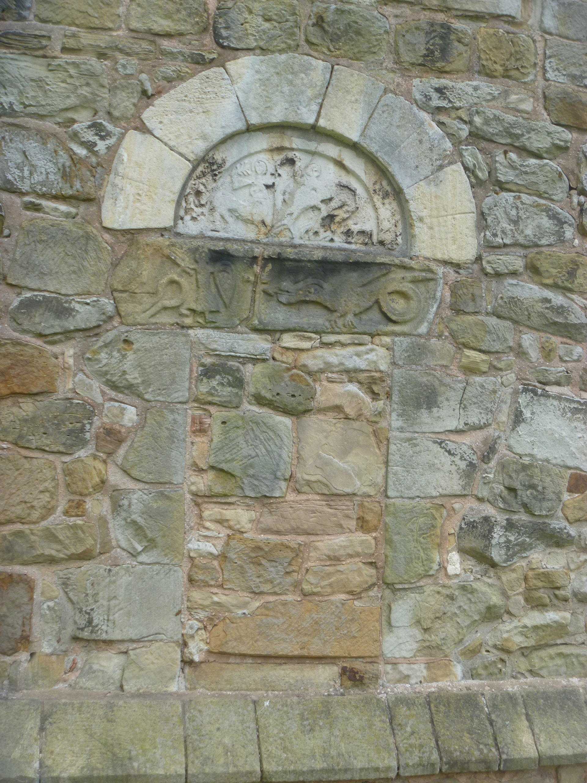
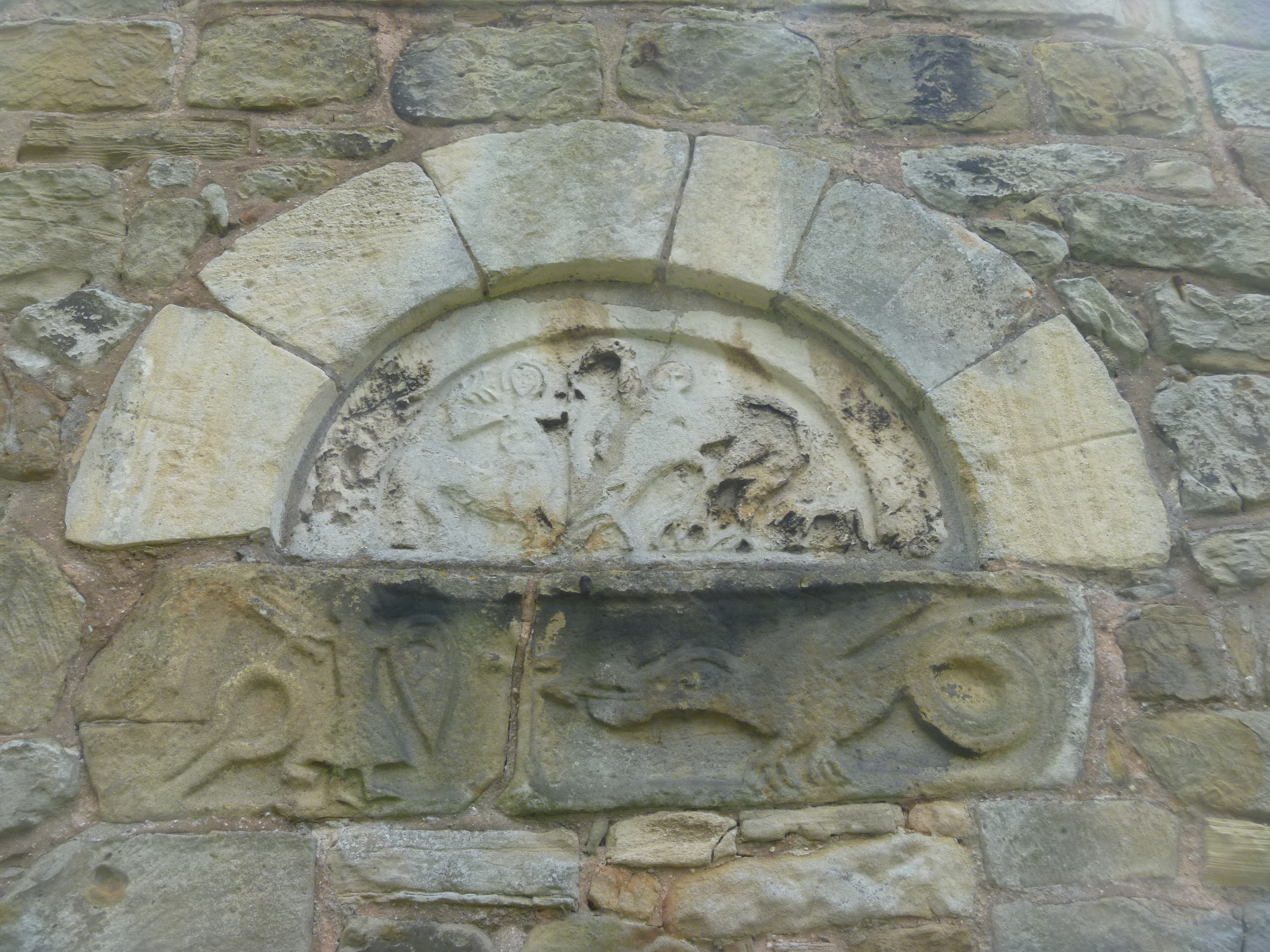
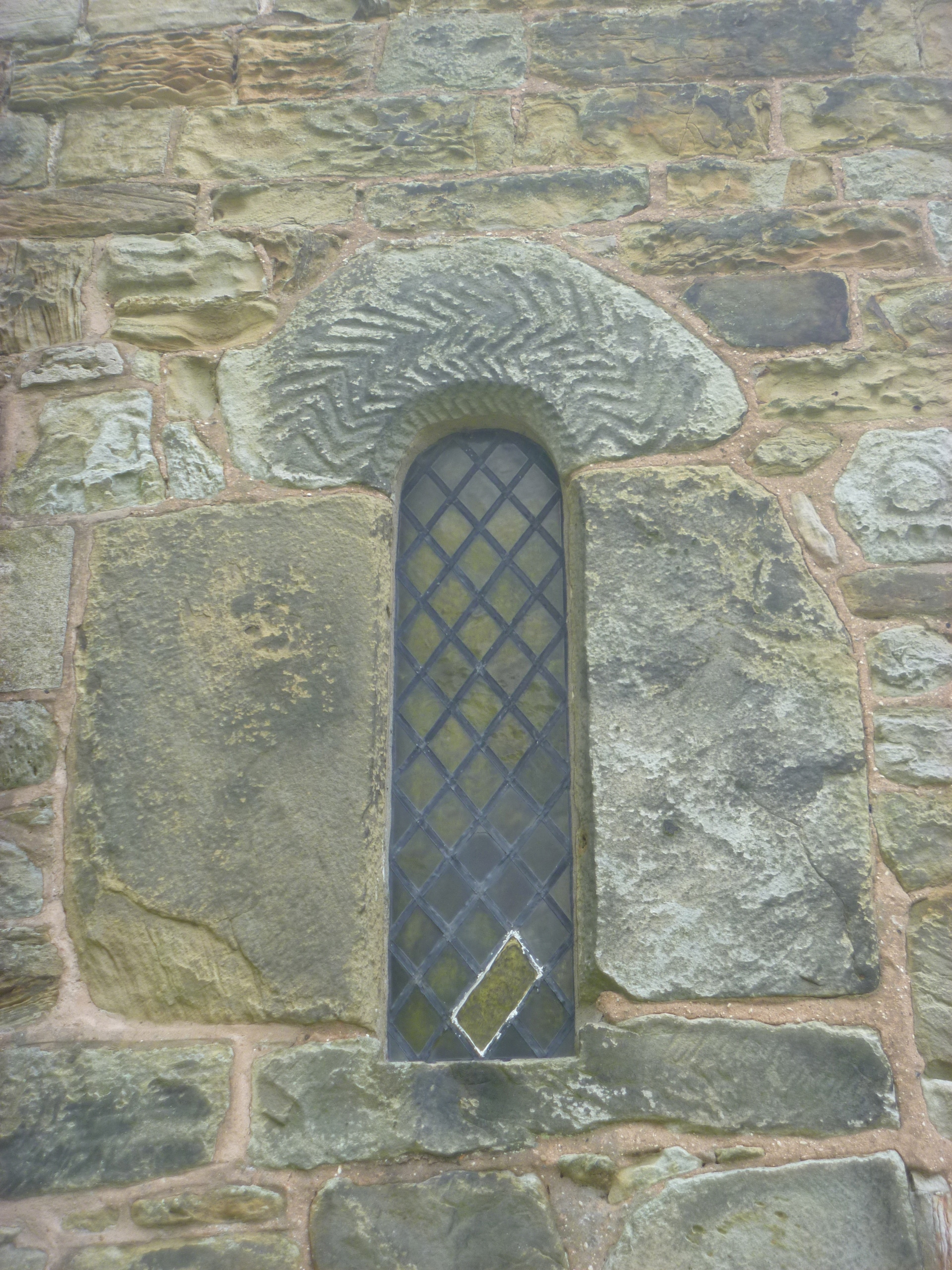
From here there’s an excellent view of Astley Church of St Mary the Virgin. [To be the subject of another post] Proceed through the churchyard to a rather muddy lane and panel 3.

Path through churchyard

Follow the Trails this way

The Astley Parish Walk shares this lane with the Trail
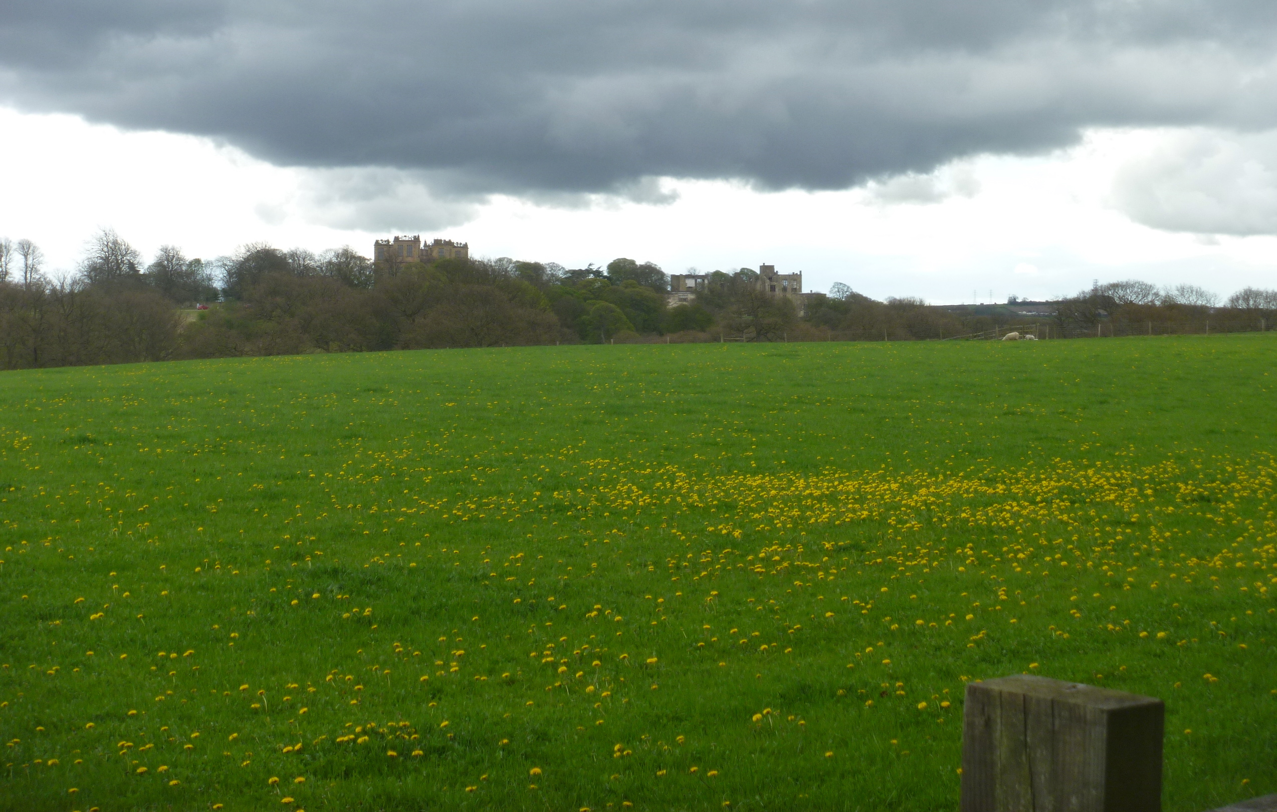
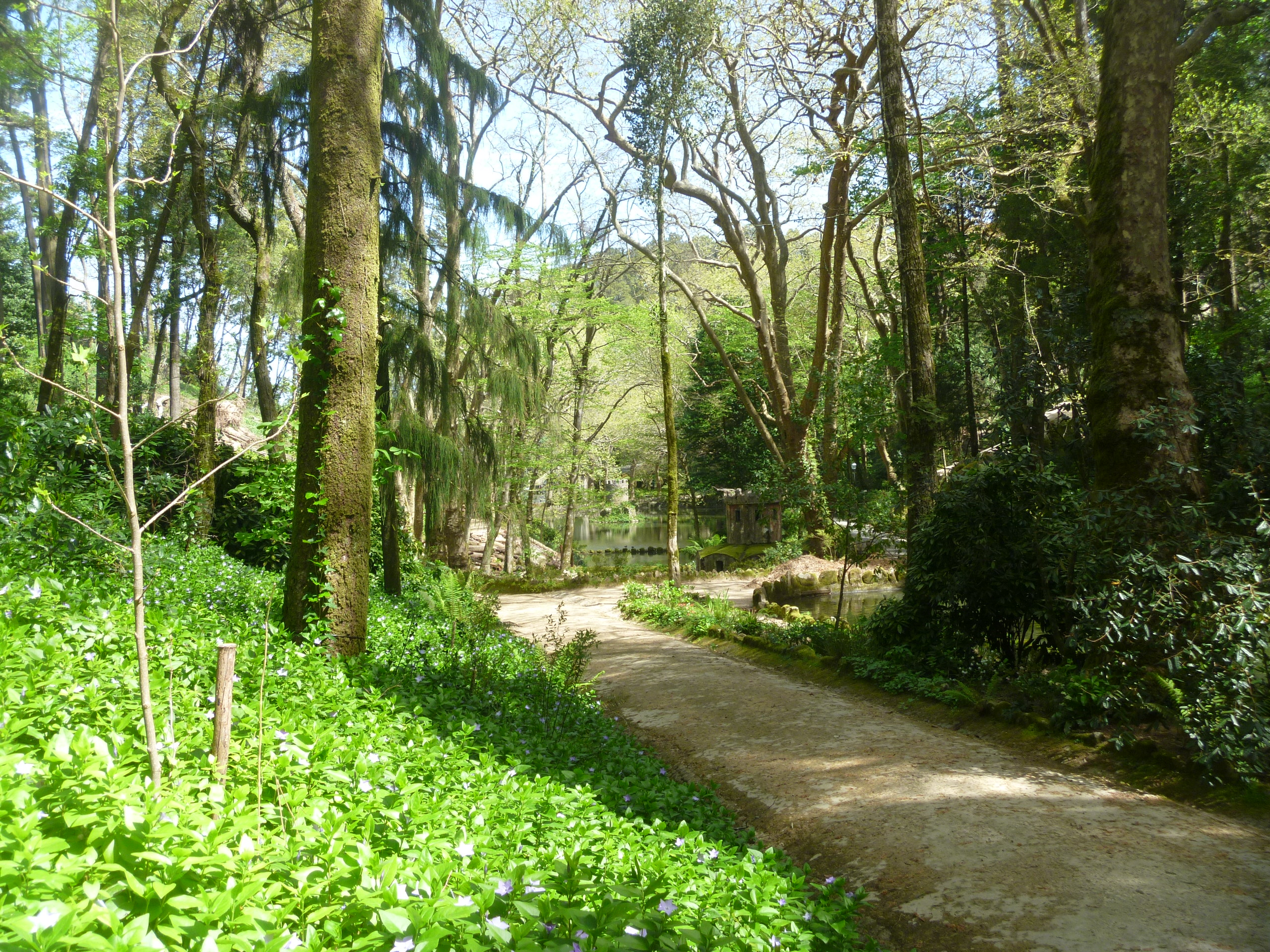
3. The New Garden. “Today the New Garden is used as pasture but the many lumps and bumps hint at significant buried archaeology, especially in this north-western corner” [Interpretation Board] In fact from this point we re-enter the Castle grounds and here are ancient fish pools and a man-made ‘Viewing Mound’.

The former Fish Ponds and Astley Church

The Viewing Mound topped by an ancient oak tree
“There can be no real doubt that the New Garden was designed as a garden for the adjacent castle and it was probably laid out with paths, raised-bed type planting, arbours, hedges, and seats, perhaps in the late 15th century. The viewing mount could date from this period too.”.

The area is labelled as New Garden on this estate map dated 1690.
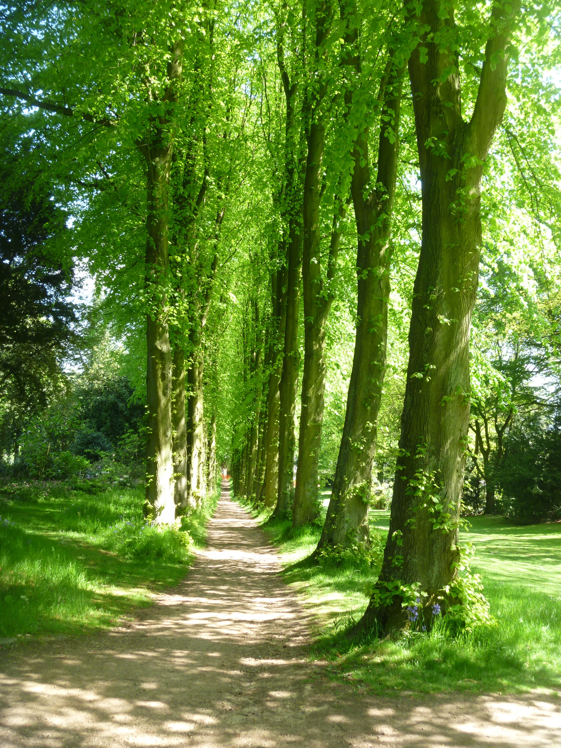
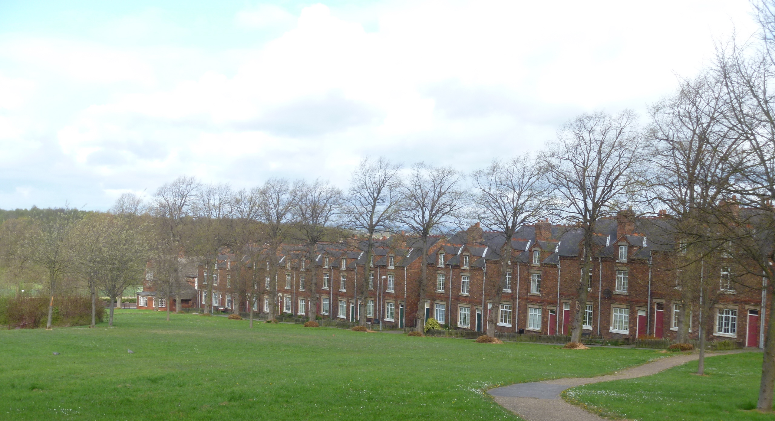
4. Little Park and Shrubbery. Here we leave the meadow and pass through a gate into a small wood or copse now known as The Shrubbery. It contains the kind of cultivated shrubs popular in the 19th century and is only shown on maps as a separate area on maps of the late 19th century and after.

BCTV footpath through the Shrubbery
Just as building work on the castle began and continued from 2008 “volunteers from the British Trust for Conservation Volunteers (BCTV) worked tirelessly to clear fallen debris, self sown trees and invasive weeds along the footpaths, here in the Shrubbery and around the banks of the moat.”

The Moat contains water in places
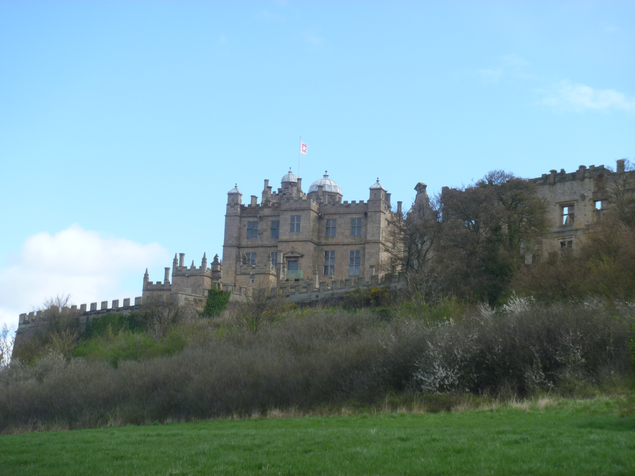
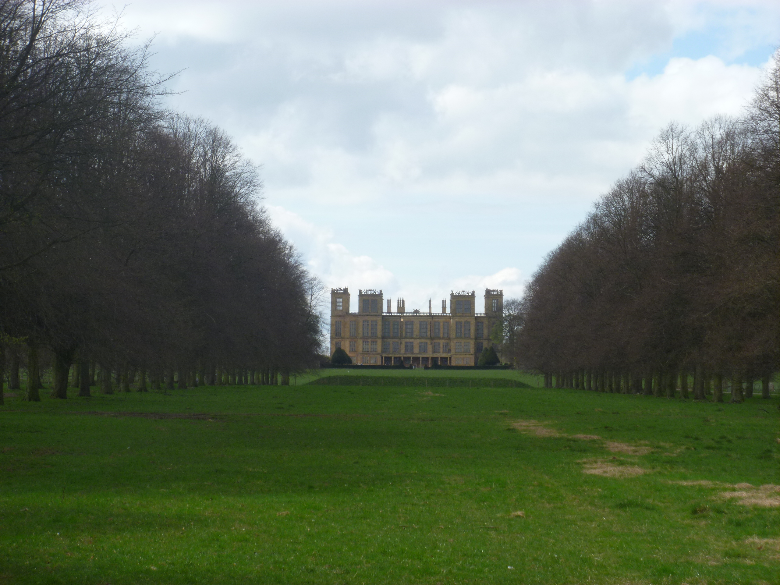
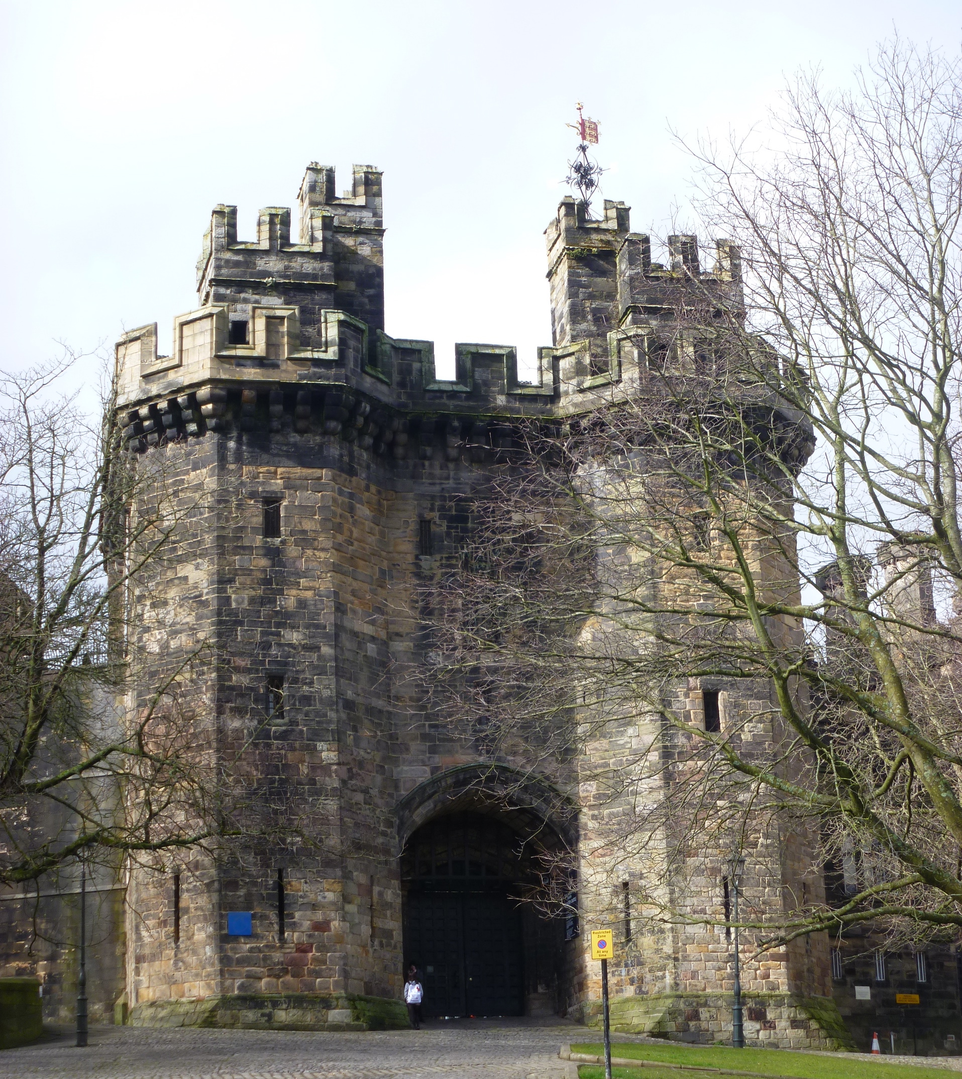
5. East Elevation and The Plash. Emerging from the Shrubbery we gain another view of the Church and the Castle. The East Elevation is to all intents and purposes the Front and Entrance to the building. But looking in the opposite direction there’s a broad green meadow (The Plash) and the still waters of the Astley Pool fishing lake.

The East Elevation (Front) of Astley Castle
“The Old English plaesc, modernised as ‘plash’ means ‘a shallow piece of standing water, a marshy pool’ so this is likely to be an ancient natural feature, enhanced and adapted by the castle residents. … The Plash is dotted with trees, several of which are mature specimen trees – including a fine cedar tree.”

The Cedar Tree

The Plash and the Pool
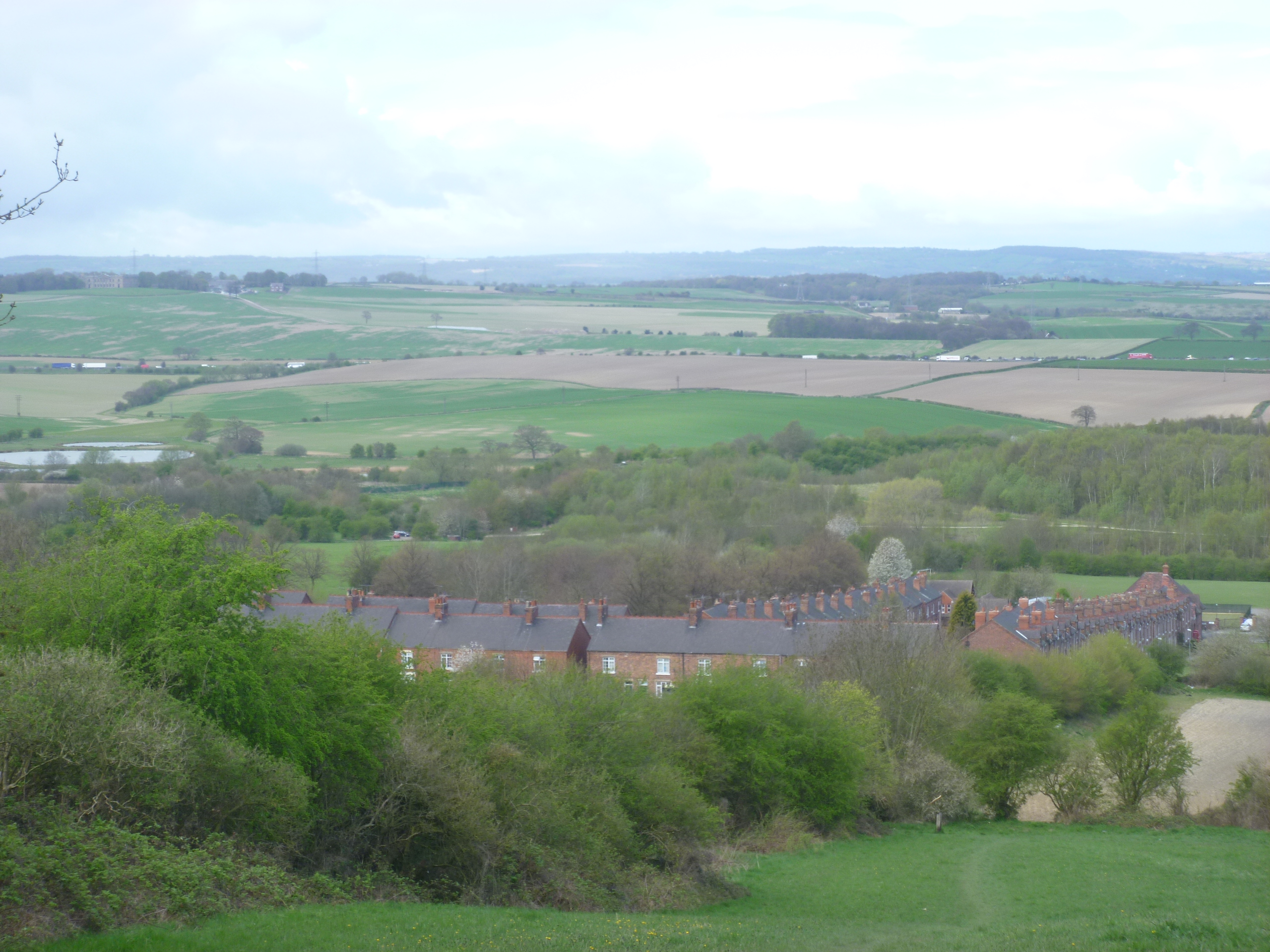
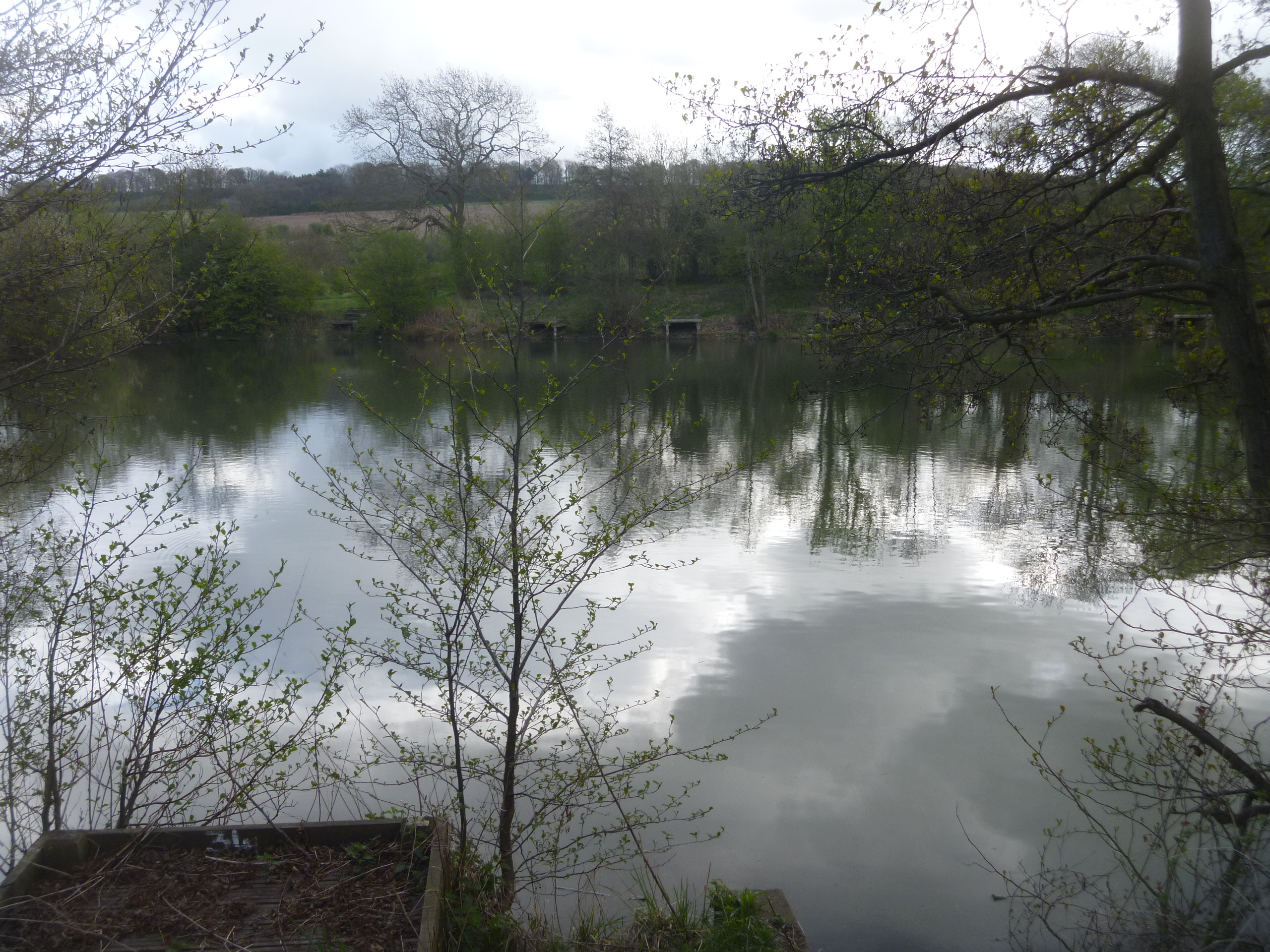
6. Astley Pool and New Road. Our path takes us across The Plash to Astley Pool, a man-made lake. Although it may seem a typical 18th or 19th century creation it is first referred to in 1501. It is now a private fishing lake.

“The New Road was created to link the drive from Arbury Hall to a new access to Astley Castle. The first part of this was across the top of the pool dam and this would have provided a suitably attractive route up to the castle.”
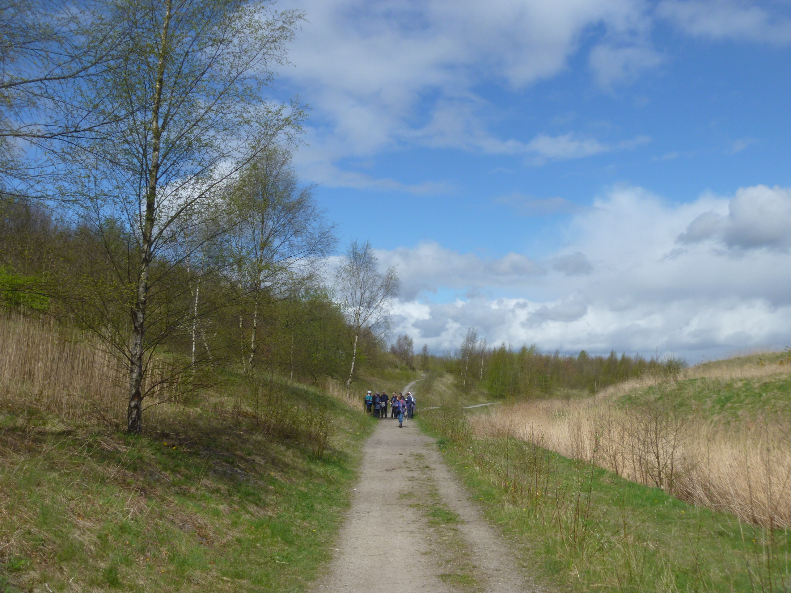
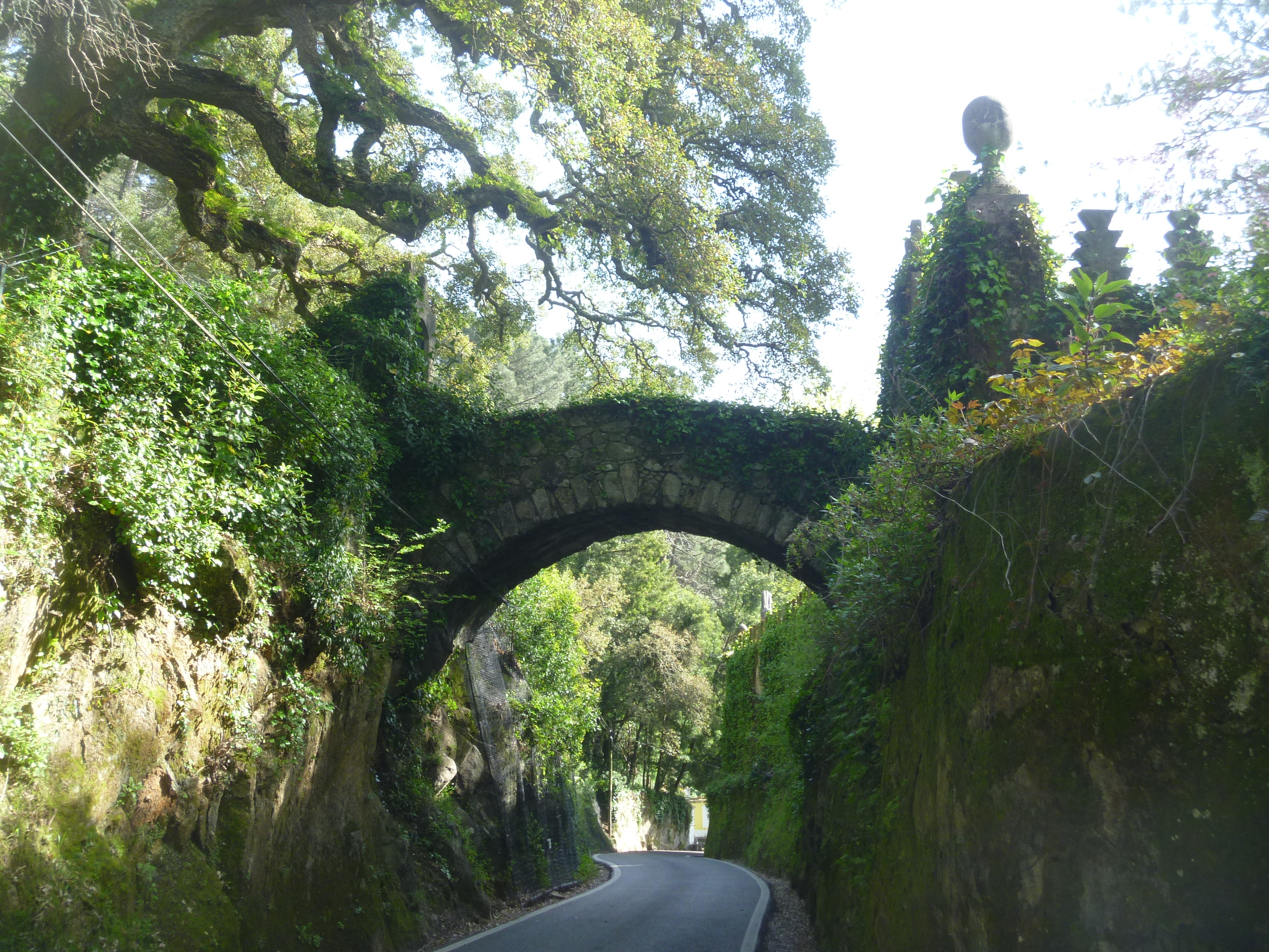
7. Dark Lane and Castle Approach. The BTCV volunteers had been busy clearing the last lane that leads back to the village and the Castle. I was surprised to read in the interpretation notes that this lane was in fact a disused ‘holloway’. I have recently read Robert MacFarlane’s recent book “Holloway“. I had assumed that these features of the landscape only occurred in Dorset and the Downs of the South of England but here was one in the Midlands.

The Holloway
“‘Holloway – the hollow way. A sunken path, a deep and shady lane. A route that centuries of foot-fall, hoof-hit, wheel-roll and rain-run have harrowed into the land. A track worn down by the traffic of ages and the fretting of water, and in places reduced sixteen or eighteen feet beneath the level of the fields.’ “
[See more at: http://www.faber.co.uk/catalog/holloway/9780571302710#sthash.KNxb85gv.dpuf ]
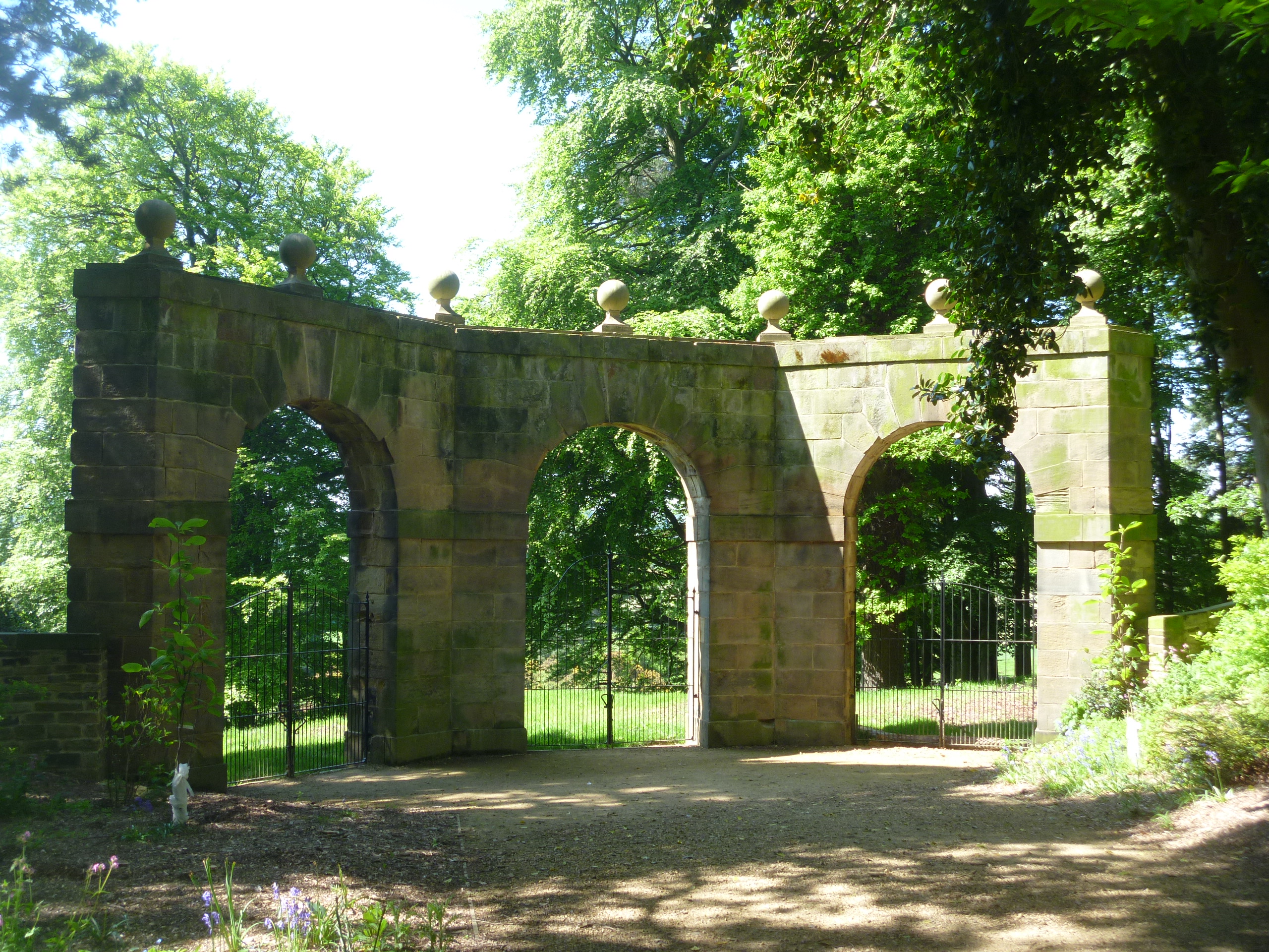
And here we are back where we started at the approach to the castle. On the left is the Coach House like the Castle left to ruin but now repaired and water-tight although it has no use at the moment. Behind are the 18th century Gothick stables.

The Coach House

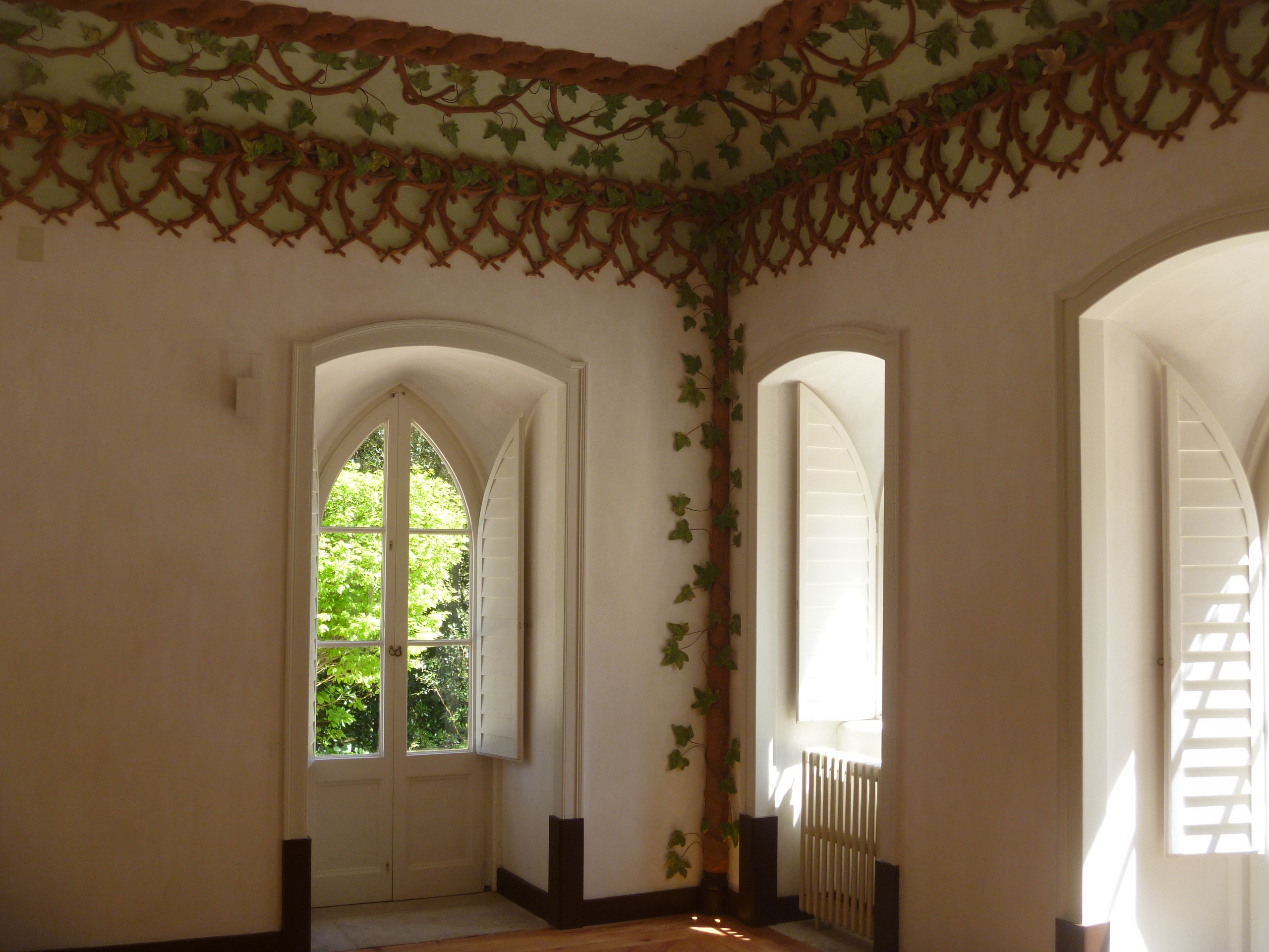
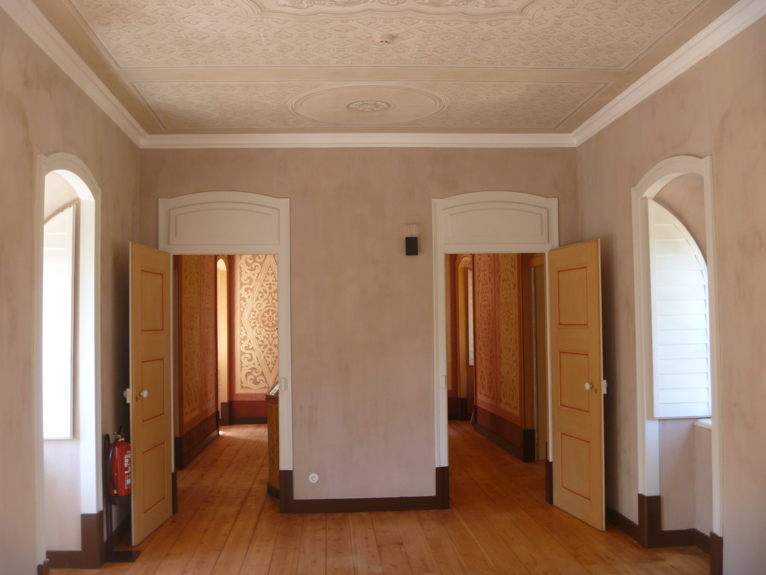
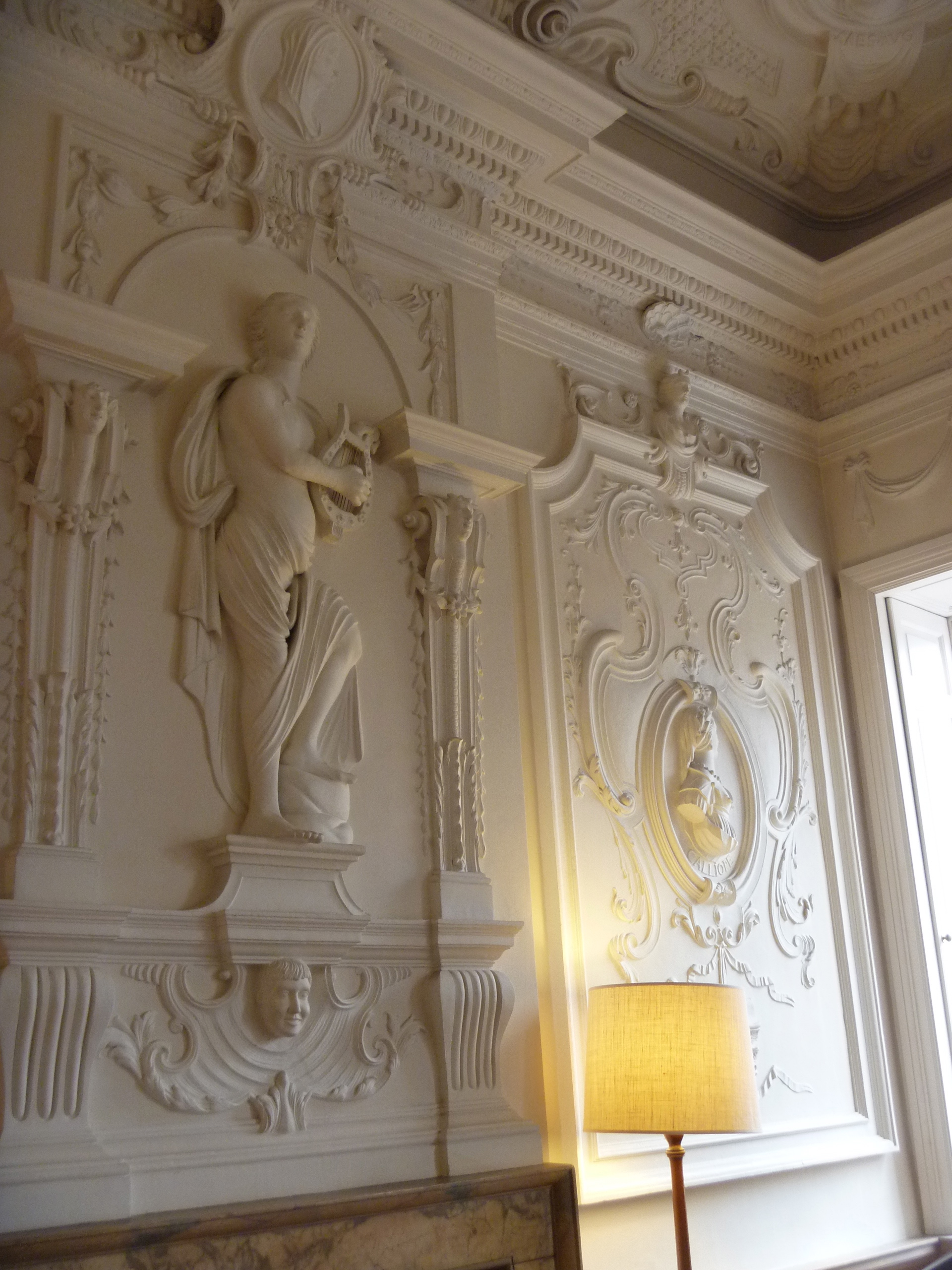
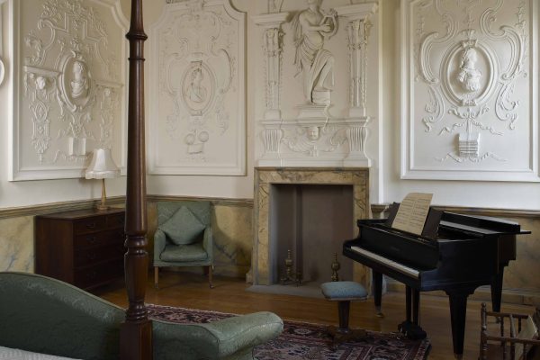
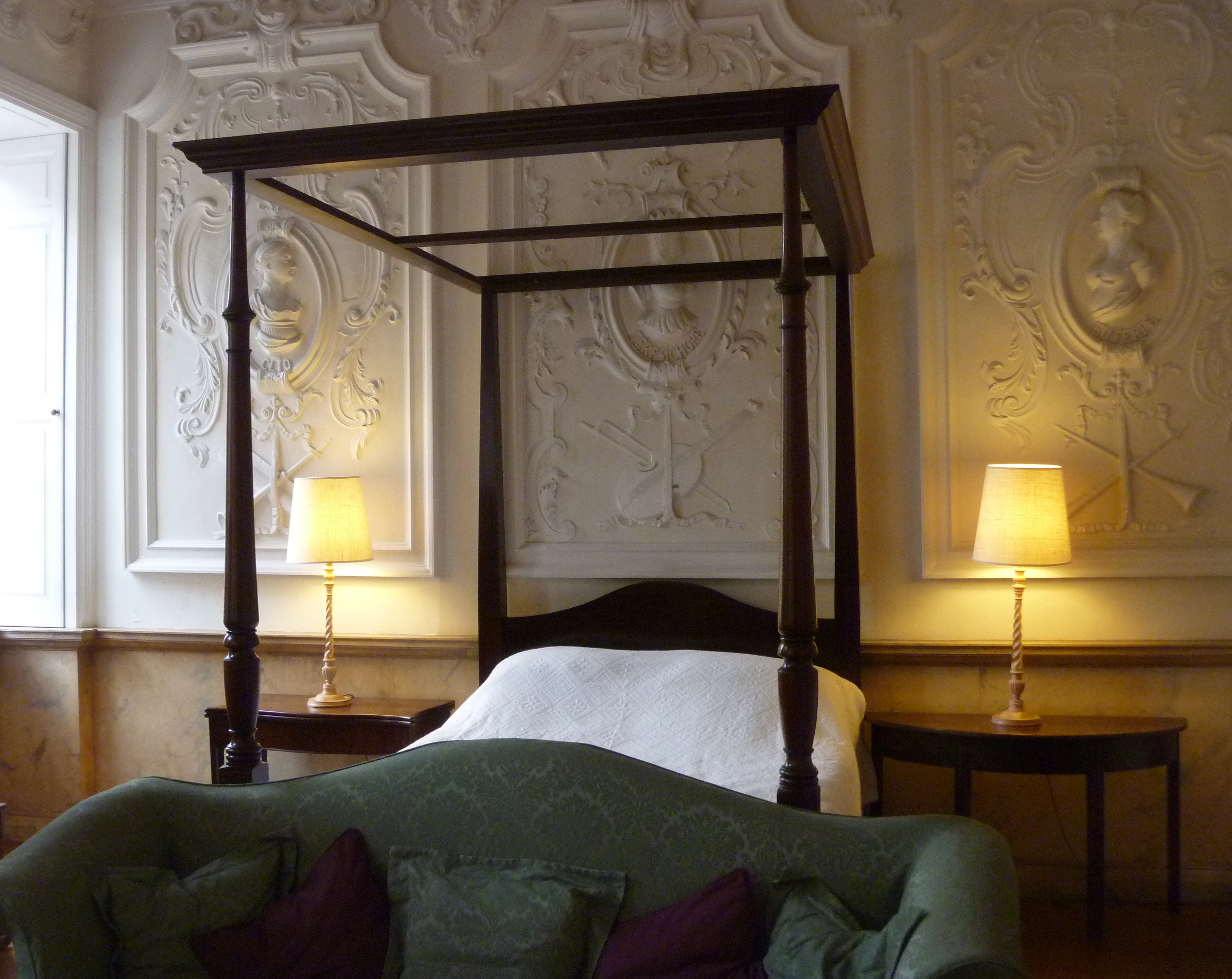
I return to the Castle to study the library and read more about ruins and the rich history of Astley and England.