

After a day of orientation in Ystad we began our walk along the Osterlen Way; a footpath along the southern coast of Sweden. Our section, which would take us 4 days of walking to cover the distance from Ystad to Kivik. Kivik is beyond Simrishamn. As with all my previous walking holidays we walked from hotel/B&B to hotel/B&B and our luggage was transported for us. The holiday is part of Macs Adventure‘s huge portfolio. Unlike with ATG we had no manager to meet us at the beginning and end and be at the end of the phone line in case of difficulties. Macs provide you with a local phone number and contact but you never actually meet that person. The walk notes are not as detailed as in the booklet supplied by ATG but were more or less sufficient for our needs. In a couple of places we found incorrect or contradictory advice between the notes and the map supplied but we managed to find the correct route (or at least a route that worked) for ourselves. I should say though that help and advice from the office in Glasgow, by telephone or by email, was very efficient, friendly and helpful.
Day One : Ystad to Kåseberga
I’m afraid this was the day the weather changed and we spent much of the 4-day walking trip in rain, mist or, at best, very dull skies.


We left Ystad via the harbour and reaching the sea headed along pleasant paths parallel with the sea (through pine forests and past many seemingly uninhabited holiday cottages) as far as the Kabusa Military Shooting Range. No shooting takes place in June so we were allowed to cross the Range but path finding was difficult and we would have been better off (for speed and comfort) to have taken the detour along the main road (not particularly busy). Both routes met up at the tiny village of Hammar.
Looking back to Ystad from within the military zone


After Hammar we could see Ale Stennar ahead
Nearby Ale Stenar (‘Ale’s Stones’) is a megalithic monument in the shape of a ship, not dissimilar from Stonehenge. It is believed to have been erected during the Nordic Iron Age and is situated on a hill top overlooking the sea.
Arriving at Løderup
Official Summary Day One : Walk Ystad to Kåseberga: 20-22 km, 118 m. ascent, 123 m. descent, 6 hours.


Overnight: Ejagården B & B.
Instead of calling the owners we walked the further 1.5km to Ejagården B&B but took advantage of the host’s offer to bring us back into Løderup for our evening meal and collecting us again later. We had needed to dry off and change before dinner.
Day Two : Kåseberga to Skillinge
Leaving Kåseberga
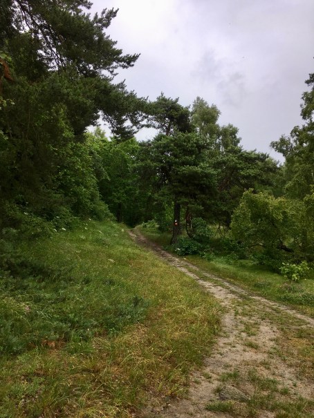
The walk started along the beach and followed well-trodden footpaths until we reached Löderup. Here the path diverted through a nature reserve featuring pine, oak, beech and birch trees.
Through the Nature Reserve
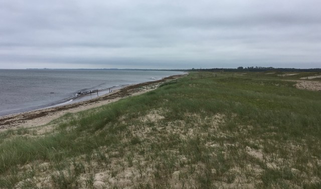
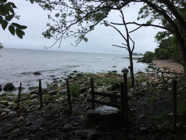
At Sandhammaren we returned to the shore and walked along pristine beaches and sand dunes until we reached the fishing village of Skillinge.


The Lighthouse at Sandhammaren


The Sandhammaren Beach
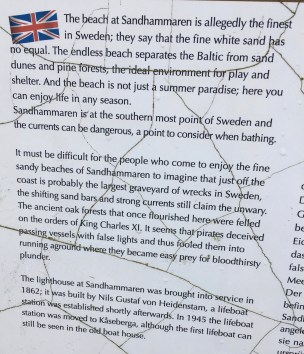
Interesting notes about the beach and lighthouse at Sandhammaren – no chance of swimming for us in midsummer and no-one around in this ‘summer paradise’.

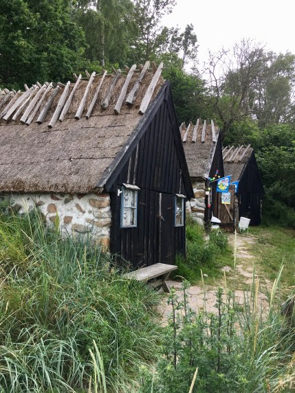
There was an offer to be picked up by the owners of our accommodation for the night, a traditional Skåne farming estate, but we continued through Skillinge and found the B&B for ourselves.
Official Summary Day Two : Walk Kåseberga to Skillinge: about 22 km, 167m ascent, 154m Descent, 7 hours.
Overnight: Sjöbacka gård :


Day Three : Skillinge to Simrishamn
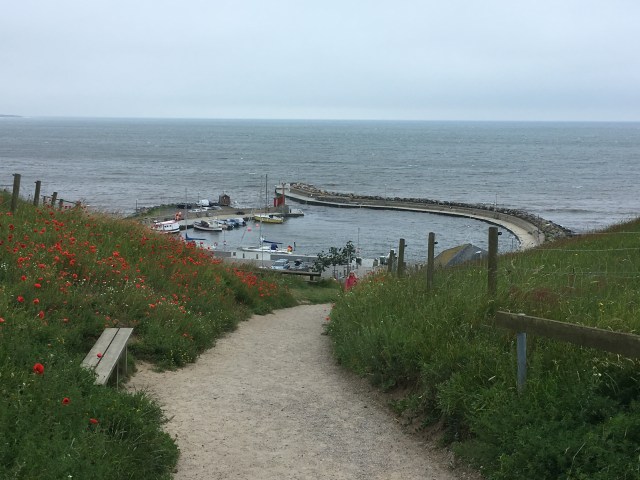
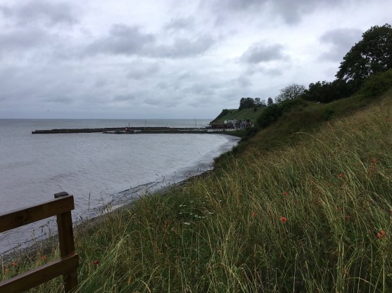
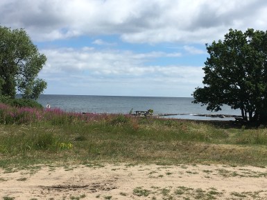
After the previous day’s long walk, we were treated to a gentler walk, passing meadows, rocks and fishing villages. We could have stopped for a swim (but we were wet enough already!). We took our lunch break in the idyllic village of Brantevik with coffee at a harbour cafe.


At Brantevik
“Simrishamn is the pretty regional capital with cobble-stoned streets and pastel-coloured houses. Enjoy a nice dinner and a stroll along the harbour before tucking yourself into bed.”


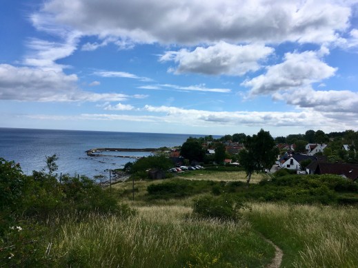
The Harbour at Simrishamn

Simrishamn Parish Church
Official Summary Day Three : Walk Skillinge to Simrishamn: 13 km, 57 m. ascent, 68 m. descent, 3 hours
Overnight: Maritim Krog & Hotell
Day Four : Simrishamn to Kivik


Beginning the last day’s walk. The beach at Simrishamn.
“Today offers varied terrain taking you through sandy beaches, orchid meadows and beech forests. Eventually you will reach the national park of Stenshuvud and its distinct hill top. This marks the end of your journey and you will soon reach Kivik, ‘The Apple Kingdom of Sweden’.” [Brief notes about the day’s walk]


At Vik, having left the beach, about 8km along the route
Leaving Vik
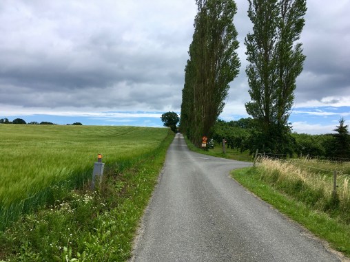
After some quiet road walking …
… we eventually arrive at the coast again – ice creams for sale! It’s a Sunday and the sun is shining at last!
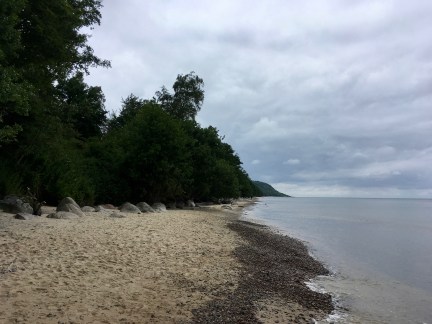
Our last beach walking
Official Summary Day Four : Walk Simrishamn to Kivik: 22 km, 176 m. ascent, 172 m. descent, 6 hours.
Overnight: Agda Lund B & B
Day 6:
A transfer to Simrishamn railway station was included in the arrangement. From Simrishamn Station we easily travelled by bus to the university city of Lund. The last stop on my three-week itinerary.

What a great walk. A different experience than walking in the UK
Shame about the weather though. We hardly saw anyone for the whole stretch whereas I’d expected to be stepping over and around crowds of sunbathers on the beach. Great experience though.
True but that’s the downside of a planned walk, you have to stick with it whatever the conditions. Still you saw some really interesting places and, as you say, a great experience
[…] of our walk along the Österlen Way was along pretty level paths – always looking out for those orange route markers (sometimes […]