Cabo da Roca or Promontorium Magnum : The Edge of the World

The highlight of the next day’s walking was to visit the Cabo Do Roca – the westernmost point of the European mainland. Called Promontorium Magnum by the Romans and before the Age of the Explorers was thought to be the Edge of the World.

Cabo da Roca sign

But before heading off on the next sector of our walk we spent a relaxing morning at The Sao Saturnino. Breakfast isn’t served until after 9am and we also wanted to wander around the maze of buildings and the gardens. Here are some pictures of this beautiful location.

Entrance Saturnino

Sao Saturnino Entrance

Saturnino library

Sao Saturnino Library

Convento sea views

Sea Views from The Sao Saturnino

Leaving the C da SS

Leaving The Convento da Sao Saturnino

So, late morning we headed off from the Convento, through the village of Azoia, to the Cabo da Roca. “The phrase that is most attached to this outcrop is ‘where the land ends and the sea begins’ which was coined by Luis de Camoes, the 16th century Portuguese poet.” [Route Brochure].

Approaching Cabo da Roca

Approaching the Cabo da Roca

Cabo da Roca

Cabo da Roca

Cabo de Roca Monument

The Monument at Cabo da Roca

Cabo da Roca sign

What it says on the Monument

The Atlantic Ocean at Cabo da Roca

The Atlantic Ocean at Cabo da Roca

The Lighthouse at Cabo da Roca

The Lighthouse at Cabo da Roca

The lighthouse was built in 1772 and stands 144 metres above the cape which itself stands 140 metres above sea level.

Our paths continued, with some diversions due to the January storms, mostly along the coastline to the famous Praia Grande. PG is one of the largest stretches of sandy beach on the Portuguese coast. The name means Big Beach and is extremely popular  with surfers all year round. Our hotel was perfectly situated right on the beach and our room overlooked the pounding waves and the hotel’s huge 100 metre swimming pool.

Arribas Hotel

Along the Way – Convents

If our first day’s walking, now that I look back, was on a theme of Forts then the next day was on a theme of Convents. This was our longest day walking: over 12 miles. We left the Fortaleza after breakfast (and a personal farewell from the manager) at 9.30am and only arrived at our destination that evening at 6.30pm. Of course, we didn’t spend the whole day walking, there were several places to visit along the way, not least The Convento dos Capuchos, where we spent well over the ‘designated’ one hour suggested in our Route Booklet. The Convento (read more about it here) was the first location within the Cultural Landscape of Sintra – a UNESCO World Heritage site first designated in 1995 – on our itinerary.

Our coastal path

Clearly marked coastal path

At first our route, on clearly marked paths, followed the coast northwards before turning inland and into the area known as The Serra de Sintra. There were some tough climbs but also some great views.

Viewpoint

After the first tough climb we could see the River Tagus and 25 Abril Bridge

Still see Fortaleza

In another direction we could still see the coast and the Fortaleza

This area was the worst affected by the storms in January this year and consequently our path was disrupted at one point. This took some time to negotiate and calls/texts to Ana but eventually we got back on track. We’d hoped to reach The Convento at lunchtime but in fact we ate our picnic lunch a few miles before.

5 star picnic

Our Five Star Picnic lasted us Three Days!!

The Convento dos Capuchos dates back to 1560. It was built by Don Alvaro de Castro as a Franciscan monastery. The Capuchins were a minor ‘hooded’ order. It was built in accordance with the Franciscan (fulfilling the teachings of St Francis of Assissi) principles of living in harmony with nature. Mostly carved from the rock face, granite boulders are incorporated and cork was used as insulation, thus giving an alternative name ‘The Cork Monastery’. Here the monks lived a simple and holy life until the site was abandoned by them in 1834. The Portuguese state took responsibility for the site in 1949. Why it is called a Convento and not a Mosteiro (monastery) I have no idea!

Views of the Convento Dos Capuchos

Capuchos sign

At the Entrance – there’s also a Nature Trail, but we didn’t have time to complete it.

St Francis

Wall Painting of St Francis

Tiny doorways to cells

The very low doorways (indicating humility) into the tiny cells (the floor lighting guides our way)

Small windows

Small Cell Windows and Cork-Insulated Walls

Cloister

The Cloister

Cork oak

A Cork Oak still grows in the Cloister

Leaving the Convento around 4pm we still had a lengthy walk ahead of us, plus two further climbs. The first was to a memorial to 23 soldiers who were killed putting out forest fires in 1966. From the cross there are more stunning views – the Pena Palace magnificent in the distance.

Memorial

Forest Fires Memorial to Servicemen

Pena Palace in the distance

Pena Palace across the Serra

“Continue ahead uphill”. We got kind of used to reading this instruction!

Yet more climbing to do!

Onward and upward we continued until we reached the Peninha Chapel.

Peninha

Unfortunately the chapel wasn’t open to the public but we read that the first building on the site was a chapel to Sao Saturnino in the 12th century and that the ‘new’ chapel was built in the 17th century and apparently contains beautiful blue and white azulejos (tiles) depicting the life of Mary.

View from Peninha

Tagus view from Peninha

Again, we had magnificent views of the coast and towards the River Tagus and Lisbon. From the Peninha it was practically downhill all the way and finally, we caught a first glimpse of our destination – The Convento Sao Saturnino nestling a valley with views of the sea.

Convento da Saturnino

We arrived just in time for dinner – there’s a welcoming tray in the bedroom for revival of the spirits!

Nice feature in the room

Along the Way – Forts

As you will have seen our first day’s walk was not too long and followed the Portuguese coastline from Cascais to Guincho. On the first day the walking distance is always a bit shorter than most others because it is your opportunity to meet with the Route Manager and discuss the route, any last minute changes and exchange mobile ‘phone numbers.

Santa Marta Lighthouse, Cascais

The Santa Marta Lighthouse near Cascais

We spent a sunny Sunday morning in a park with Ana, our manager, as there was a big 10k race going on right outside our hotel meaning that access was made rather difficult. Ana had to explain to us that very severe storms last January had caused much damage along the route and some of the paths were now impassable. She had done her homework though, and walked the whole length trying to re-jig the route in just a couple of places. Luckily she was also  on the end of the ‘phone when we needed a bit of clarification on a couple of days.

Boca do Inferno 1

Boca do Inferno

Boca do Inferno 2

Boca do Inferno

Boca do Inferno 3

Boca do Inferno and Guia Lighthouse

Our route that morning was busy and ran parallel with the coast road. Lots of walkers, families, joggers and cyclists shared the route with us. We passed lighthouses and dramatic coastal features and were able to take a brief break at The Forte de Sao Jorge de Oitavos. Not far from Cascais is the Boca do Inferno or Hell’s Mouth. “This is a natural chasm and the sea water has access to the very bottom of the chasm so when the sea is unsettled the effect is quite impressive!” [From our Route Booklet] Even when the sea is pretty calm the effect is still pretty impressive! There is a  viewing area just down from the path.

Forte St Jorge

Cabo Roso Lighthouse

The Cabo Roso Lighthouse

Probably about midway between Cascais and Guincho is the The Forte de Sao Jorge de Oitavos. It’s a handy visitor’s centre along the coast and has exhibitions and displays as well as a sheltered courtyard out of the wind. It was built as a defensive fortification against possible landings by pirates or invaders between 1642 and 1648.

Approaching the Fortaleza

Approaching the Fortaleza [yellow building]

The shortish walk meant that we arrived at our most luxurious hotel The Fortaleza do Guincho in the early afternoon giving us plenty of time to relax and read enjoy a late lunch and later an afternoon tea on the sunny terrace overlooking the dramatic waves and nearby beaches followed by a bar meal dinner in the sumptuous lounge area. We needed this rest and recuperation after the long day of travelling the day before and the next day’s walk – the longest of the trip.

Afternoon Tea at the Fortaleza

The much-appreciated Afternoon Tea at The Fortaleza

Paula Rego – coincidence

If you watched all of the video recording of The Brilliant Brontes in the last but one post you will have seen Sheila Hancock inspecting and discussing the drawings of Jane Eyre with the artist Dame Paula Rego. By coincidence a week later one of the most prominent museums (yes, there are several!) in Cascais turns out to be devoted to the work of Paula Rego (and it has a nice cafe too). Shortly after our arrival we decided to take a walk and investigate.

Casa das historias

The Casa das Historias opened in Cascais in 2009

Rego was born in Lisbon in 1935 to keen Anglophile parents who sent their daughter to an Anglican English language school in Lisbon and later to school near Sevenoaks and art school (The Slade) where she met her future husband Victor Willing. She became a naturalised British subject and was created a Dame of the British Empire in 2010. She divides her time between Britain and Portugal.

Here are some of her Jane Eyre works  currently on display at the gallery Casa Das Historias in Cascais.

Paula Rego Jane Eyre

Paula Rego’s Jane Eyre

Paula Rego Jane Eyre 2

Paula Rego’s Lithograph Jane Eyre

Paula Rego Jane Eyre book

The Book of the Exhibition

Didn't have room for the PR soap

I had no room for the Paula Rego soaps in my luggage!

The Best Way to See the World is on Foot! Sintra and The Portuguese Coast Footloose Holiday

ATG bus

In June last year my sister and I took our first ATG Footloose Holiday in Alsace. We were so impressed with the organisation and our own walking ability that we decided to book an even longer trip this year. We spent last week in Portugal doing the Sintra and Portuguese Footloose Walk.

Here is the text of the itinerary!

Cascais sea front

Cascais Beach and Sea Front

“Day 1 • Arrive in Cascais. A fashionable resort with a marina, smart shops, elegant restaurants and one of the best (and cleanest!) surfing beaches in Europe.”

Boca do Inferno

Boca do Inferno [Mouth of Hell] (between Cascais and Guincho)

Day 2 • Cascais to Guincho. An outstanding walk along the coast, passing lighthouses and fascinating cliff formations with dramatic coastal views, to Guincho Beach, one of Portugal’s best windsurfing locations (6.5 miles, 3.5 hrs).”

View from Peninha

View from Peninha

Day 3 • Guincho to Azoia. Follow coastal paths before heading inland into the Serra de Sintra. Opportunity to visit the interesting Convento dos Capuchos (Capuchin monastery) (+2 hrs), before returning through the Serra up to the spectacularly situated 14th century Peninha Chapel. Paths then lead down to your hotel near the coast (4.9 or 11.7 miles, 3 or 6 hrs).”

Cabo da Roca

Day 4 • Azoia to Praia Grande. A cliff-top walk with spectacular views leads to Cabo (Cape) da Roca, the most westerly point of Portugal – and mainland Europe. Continue inland through the vineyards of the famous ‘Colares’ wine before returning to the coast and past dramatic cliff formations to the beach of Praia Grande, with its world- famous swirling waves (7.2 miles, 4 hrs).”

Azenhas do Mar

Azenhas do Mar

Mamede

The Church of Sao Mamede

Day 5 • Praia Grande to Colares. Continue along the coast to the small seaside resort of Azenhas do Mar, with its pretty whitewashed houses perched on a cliff. From here the coastal path continues, past more fine beaches, then heads inland to the curious church of São Mamede, ‘protector of the animals,’ which were freely allowed to enter the chapel until recent times. Minor roads then lead to Colares, famous for its wine (6.9 or 9.9 miles, 3 or 4.5 hrs).”

Monserrate

Monserrate Palace and Gardens

Day 6 • Colares to Sintra. Walk through small hamlets and vineyards before joining wide forest paths passing through the Serra to the ‘Romantic’ Palace of Monserrate, with exotic gardens and follies. Continue through the Serra and a short section of road brings you to the arch of the old west entrance to Sintra (6.9 miles, 3.5 hrs).”

Sintra from the Moorish Castle

Sintra from the Moorish Castle

Day 7 • Free day in Sintra. Described by Byron as a ‘glorious Eden’, and boasting UNESCO World Heritage status, Sintra is a visitor’s paradise, with magnificent palaces, gardens, galleries, churches, museums, and cobbled, medieval streets lined with boutique shops and cafés.”

Ana at Lawrence's Hotel, Sintra

Ana Our Lovely Five Star Tour Manager at Lawrence’s Hotel, Sintra

The Three Halls, Norfolk, Walk

1950s OS Maps

The walk crossed the join of my two 1950s treasured OS maps of Norfolk (Sheets 125 and 126 Seventh Series)

“Blickling Hall is a masterpiece of Jacobean architecture famed for its spectacular long gallery, superb library and exceptional gardens. The estate has been home to Falstaffs, Boleyns and Saxon Kings. We walk from Blickling Hall, in the heart of the Norfolk countryside, through the 5000 acre estate northwards to Wolterton, the seat of the Walpole family. From Wolterton we follow country lanes to Mannington Hall, with its famous gardens, before turning south to Itteringham for lunch. After lunch we head back to the Blickling Estate for tea. 11.5 miles.” [From the ATG-Oxford website]

Adrian shows the way

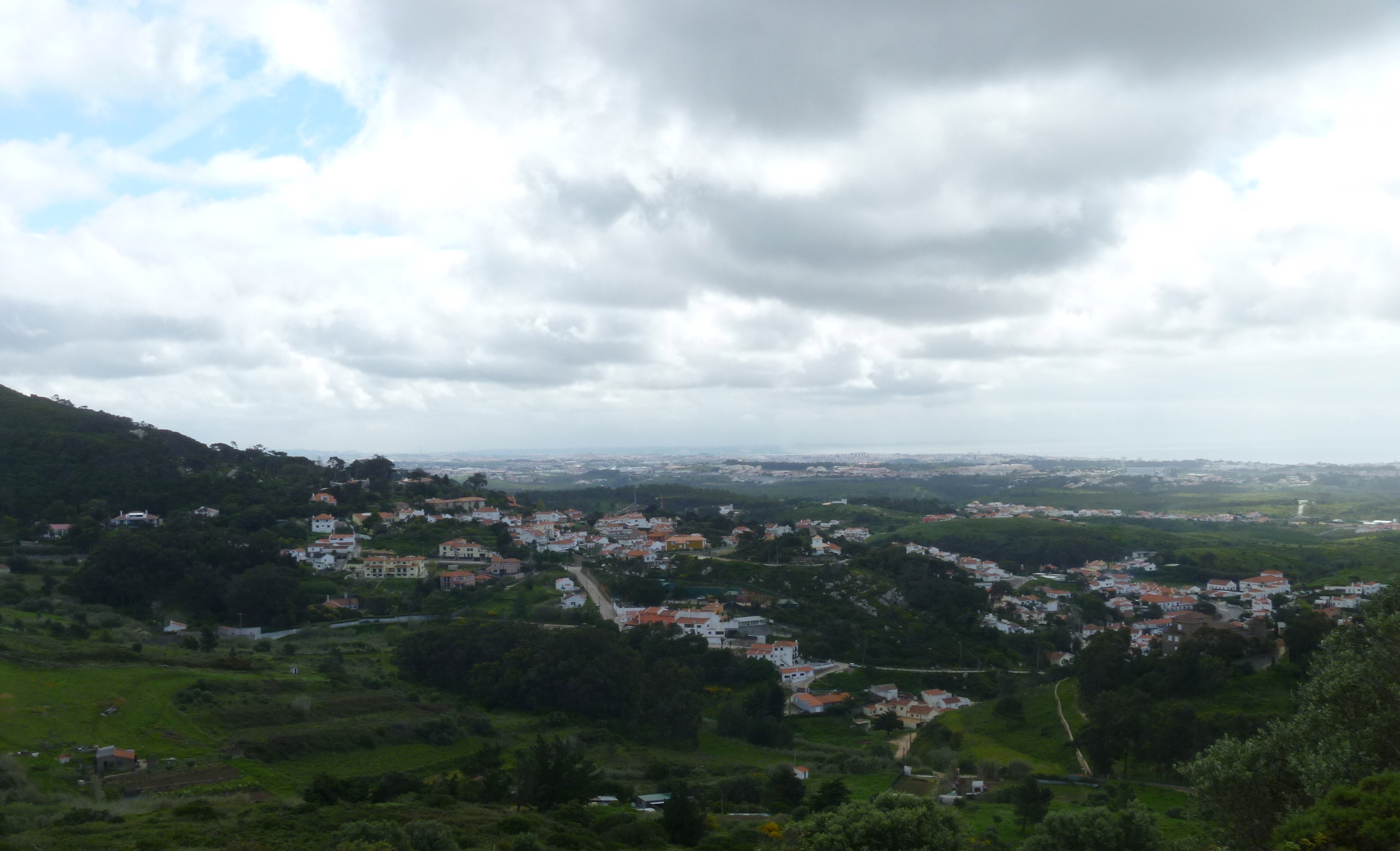
Adrian, our leader, shows the route we’ll follow

This has been my day today! ATG Oxford The Alternative Travel Group organise walking holidays in this country and abroad – both escorted and self-guided. In fact my walking holiday in Alsace in June was an ATG (Footloose) holiday. As a supplement to these, mainly summer holidays, ATG organise a series of Saturday Walks throughout the year in order to raise money for chosen charities and as a ‘subtle’ marketing ploy; for we are like-minded people and keen to hear others’ experiences of walks.

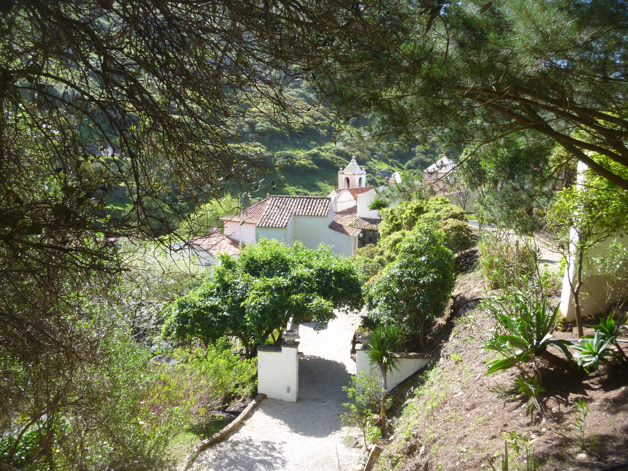
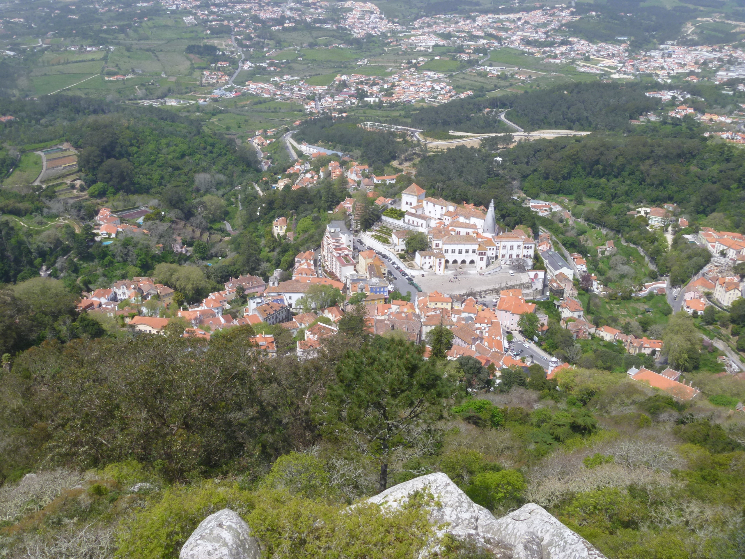
As I left Norwich snow began to fall and in the car the outside temperature measured -1C. By the time I left the outskirts of Norwich behind me the snow had turned to rain and the temperature had risen to +1C. The group of intrepid walkers met by the Buckinghamshire Arms and we set off in misty drizzle past the beautiful Jacobean Blickling Hall and, after a quick look inside the church (even colder than outside!), began our muddy tramp around the icy Blickling Lake and across the estate.

Blickling Hall

Rear of Blickling Hall one-time home of Anne Boleyn

Frozen lake

The half frozen lake at Blickling

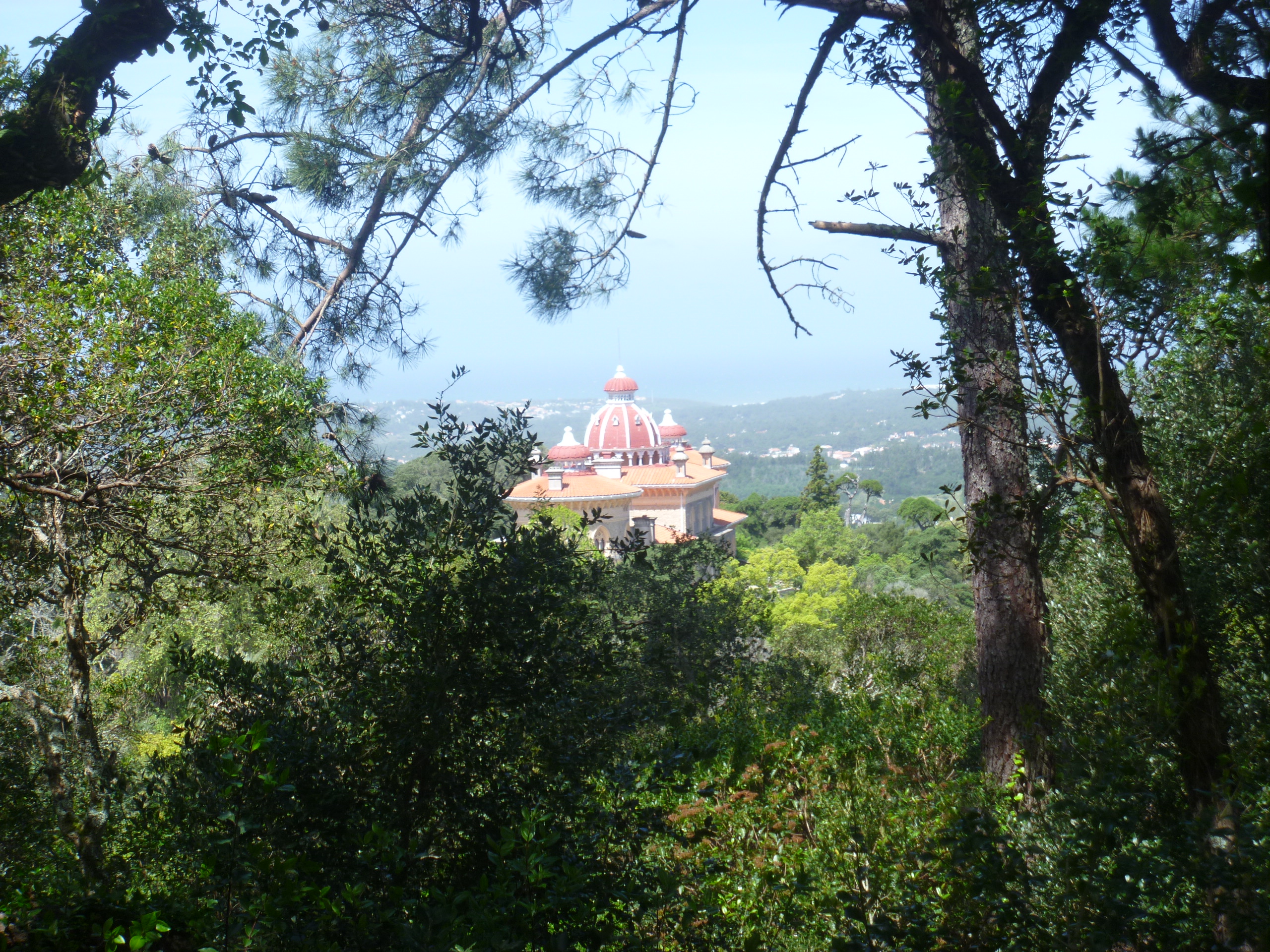
Our next Hall – a Palladian design – Wolterton appeared empty and unused but looked quite beautiful from across the Lake. There’s a ruined church in the field next door. Read here about Simon Knott’s delightful birthday visit to the ruin.

Wolterton Hall

Wolterton Hall across its lake

Wolterton church ruin

The Ruin of St Margaret’s Wolterton

As we tramped through muddy fields and along wet lanes I talked with many of the group (about 17 of us) about where we had come from. Had we been on any of the holidays? Had we been on Saturday Walks before – if so where? I don’t think there were any local people most had come from London and Cambridge and one or two of us from further afield and making a weekend (or longer) of it – Leeds, Manchester, Stow-on-the-Wold.

Mannington Hall

Mannington Hall

Our next and final Hall was the lovely Tudor Mannington Hall whose gardens are renowned in the area and where popular summer events are held. It looked rather bleak today but it definitely has a lived-in feel and is the home of the current Lord and Lady Walpole (they own Wolterton too). Read here an interesting article about owning two stately homes and access to them.

Mannington church ruin

Saxon Church Remains

Our walk continued across more muddy fields and we were just able to glimpse the remains of the Saxon chapel at Mannington. Not far now …

Bure Centre

Lunch is about to be served at Itteringham Village Hall

And we arrived at our lunch spot. ATG lay on a super lunch – mulled wine, creamy hot soup, a choice of salads, breads, meats and cheeses. I noticed some chocolate tarts for pudding but opted for fresh fruit – grapes and a tangerine. The lunch was served by ATG’s  Sarah in Itteringham Village Hall or The Bure Valley Community Centre as it is known locally. It’s right opposite another Norfolk flint church – St Mary’s Itteringham – with its neighbouring ruined chapel and the preservation of which has been aided by The Churches Conservation Trust.

Itteringham Church

St Mary’s Itteringham

Advent at Itteringham

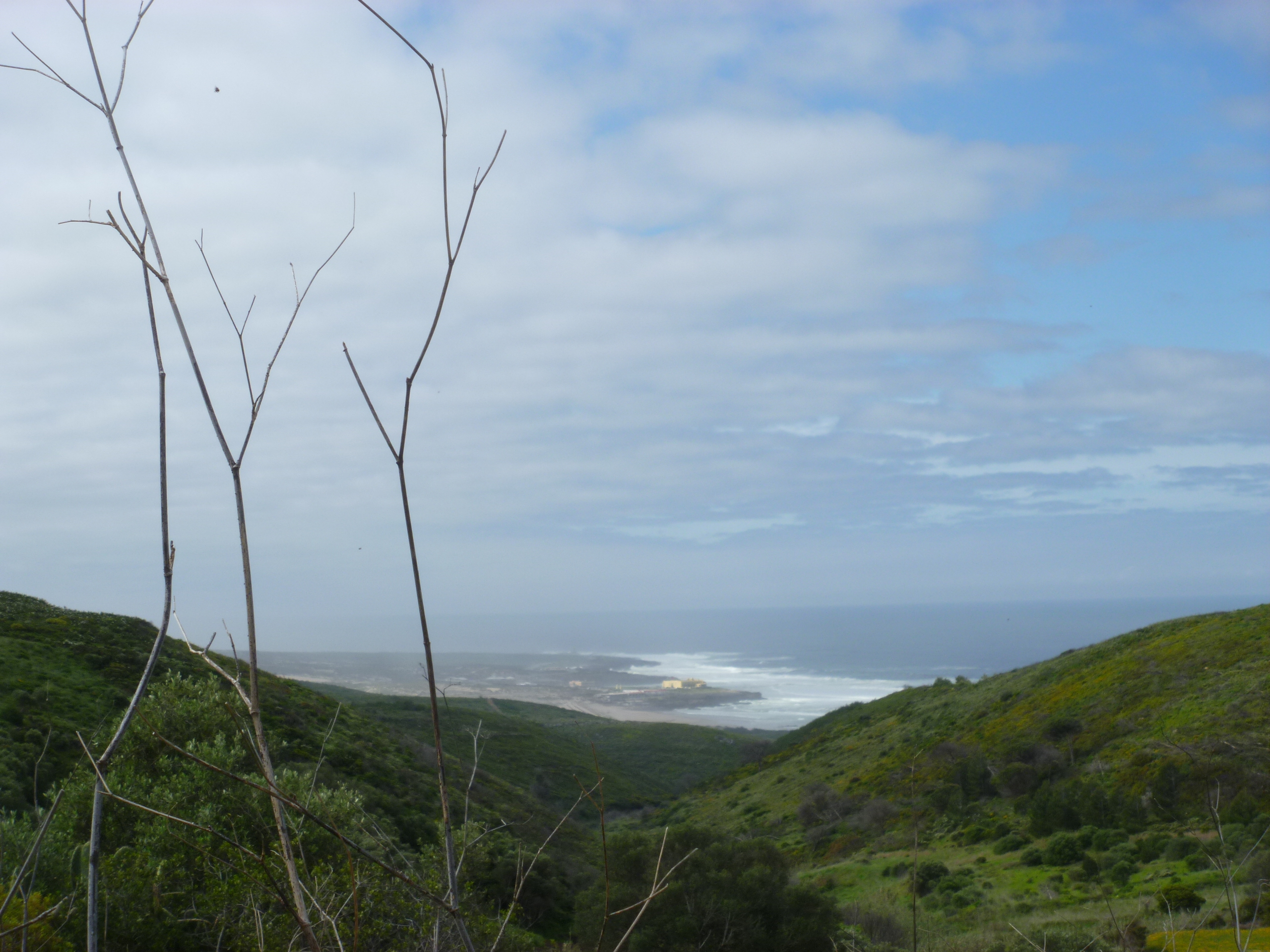
The lunch was served at the 7.2 mile point so a further 4 miles were walked to our destination. The rain began to fall as we re-entered the Blickling Estate and passing The Grandstand – a strange and rather industrial-looking building (erected for the purpose of viewing the shooting and horse racing on the Blickling Estate) and is now a holiday-let.

The Grandstand

We were glad to spot the Blickling Lake and smell the wood smoke of the stoves in the Buckinghamshire Arms where afternoon tea was served. There we heard more tempting morsels about dry, stony Italian tracks, drinks on sunny terraces, gorgeous picnics served on craggy peaks in Spain and Italy and generally about locations that had rather more appeal by 4pm on a very wet, cold Saturday afternoon in December.

Blickling at night

Blickling at night (actually 4.30pm)

The Footloose Route Booklet – reading between the lines

In the ATG Footloose Walks brochure there’s a little section called “Finding Your Way” :

“The ATG Route Booklet includes detailed directions and maps, as well as up-to-date information on towns visited, places of interest, local history, restaurants, cafes and shops en route.”

Approaching Mittelbergheim from Barr

In addition to our Route Manager the other key to the success of our trip was The ATG Route Booklet. With this winning combination we knew we could set out each day with confidence knowing that we’d be able to find our way without difficulty. We could decide whether to either buy lunch before setting off from the village or buy it at a cafe or from a village patisserie/boulangerie on the route and eat in a charming village square or in the welcome shade of a churchyard.

You can’t go wrong – and we didn’t.

Our walk from Barr southwards to Kaysersberg covered about 38-39 miles. Sometimes we coincided with the famous pilgrim way of St Jacques de Compostelle. There seem to be many starting points to this major pilgrim route – I’ve seen another part of the route in Switzerland – but they all meet at  Santiago de Compostela in northwest Spain. The grooves of the traditional scallop shell sign indicate the paths all converging onto Santiago de Compostela.

Luckily we were walking via Dieffenthal and Chatenois to St Hippolyte

Each village or small town which we passed through was distinctive and yet they all had several aspects in common: the half-timbered buildings, often gaily painted with flower-bedecked windows; decorated fountains, some with drinkable water and others not; wine growing businesses offering tastings (degustations); distinctive towers, arches and gates and quite a few had revived old medieval gardens demonstrating herbs and other useful plants.

Colourful houses in Andlau

Window in the sunshine at Dieffenthal

Drinking water fountain at Orschwiller

Medieval Garden at Chatenois

Tower/Gateway at Riquewihr

Fountain at Kaysersberg

Between the villages many of the tracks were alongside fields planted full-to-bursting with grape vines – still in the very early stages of growth for this summer. These were tracks were dotted with stone crucifixes and roadside shrines which were often included in our directions.

The Route Booklet offered us a daily choice of routes – higher and therefore longer and more remote or lower and generally shorter and passing through small centres of population. Until the last day we chose the lower routes as we found the villages delightful and the tracks easier. Despite this we covered over 10 miles a day on the 2nd, 3rd and 4th days and we had great views across the Rhine Valley to the German Black Forest and the Swiss Alps. Above us on our right loomed the defensive castles and fortresses prominently located on higher ground above the valley.

Haut Koenigsbourg Castle above St Hippolyte

A Saint, an Artist and a Doctor : people we came across in Alsace.

On our walking trip in Alsace we kept coming across references to storks but also to certain people. In particular local artist Hansi and local saint Odile. Then we discovered that Kaysersberg, our final destination, had been the birthplace of Dr Albert Schweitzer – all round good person, as you will discover.

Saint Odile

Window dedicated to Saint Odile at Itterswiller

Saint Odile is the patroness of good eyesight. She was born in Obernai and the Augustine foundation at Mont Sainte Odile was founded in her name by her father. She had been born blind but was cured at age 12 on being baptised by an itinerant bishop of Regensburg. She is buried at Mont Sainte Odile.

The Tomb of Saint Odile

She didn’t just turn up at Obernai – where there’s a statue of her in the main square – but also in the stained glass windows in several churches that we visited along our way.

Saint Odile with her attribute – a pair of eyes in a book – in stained glass at Chatenois

Hansi

Oncle Hansi, or just Hansi, was the pseudonym of Jean-Jaques Waltz who was born in Colmar in 1873 and died in 1951. We came across his cute little pictures on postcards and framed on the hotel walls throughout our trip. At Riquewihr, where we stayed for our last night on the walk, there is a museum dedicated him.

Note the empty stork nest/basket on the museum chimney

There we watched a video film about his life and discovered that there was much more to the creator of the cutsy postcards than initially met the eye. He had been a French hero of both world wars. He published many satirical works and cartoons that made fun of the Germans in particular the book Professor Knatschke in 1912. He was arrested by the Germans when they annexed Alsace first in 1914 and later, having been pursued by the Nazis in 1940, he fled to Vichy France.

In addition to postcards we spotted shop signs in the villages showing his distinctive work.

And here’s a combination of Hansi and a Stork – an advertising plaque :

Dr Albert Schweitzer

When I was growing up in the 1950s and early 1960s we learned all about missionaries in school and at Sunday school – Mary Slessor, Albert Schweitzer, Gladys Aylward – the names tripped off our tongues as did our times tables. I’m not sure these days whether young people know these names.

When we arrived at our final destination, Kaysersberg, on the fourth day of walking and saw the birthplace and museum dedicated to Dr Albert Schweitzer we knew just who he was and stepped inside to have a look.

I don’t know if the missionary aspect of work is played down now. Certainly the museum opened our eyes to his many talents and achievements: organist  (an authority on the music of J S Bach); philosopher and writer; theologian and Nobel Peace Prize winner (in 1952). He’d been arrested and imprisoned during the first world war for being a German citizen (due to being born at a time when Alsace was occupied by Germany).

But most significantly he was a medical doctor who founded and ran for 50 years a hospital in Lambarene, Gabon in east Africa. The hospital still exists today and the town of Lambarene now has twinning arrangements with Kaysersberg. Any profits that come from the museum entrance fee still go towards the work of the Schweitzer Hospital at Lambarene. Around the walls of the museum are pasted many quotations from his writings.

“Do something for somebody everyday for which you do not get paid.”

Read more athttp://www.brainyquote.com/quotes/authors/a/albert_schweitzer.html#YxhUTXKsI5eOfoyy.99

Ciconia ciconia – lucky to see you!

One thing I really hoped to see on my walking tour in Alsace was a stork on its nest. And my wish came true as we arrived at Dambach-La-Ville at the end of our first day’s walking. I used to read a book called ‘The Wheel on the School’ by Meindert Dejong to my sons when they were young.

It’s the story of a village in Holland that the storks have forsaken and the efforts made by the villagers and especially the school children to encourage those birds to come back. Although this story is set in Holland I knew that storks could also be seen – if one was lucky – in Alsace. I was reminded of the Alsace-stork connection as we came across countless images of storks in every conceivable place during our journey.

We saw storks again on the next day in the small town of Chatenois and had one further spotting of a stork in flight from its nest at Ribeauville on the third day.

On the Blienschwiller Gate at Dambach-La-Ville

Dambach Storks

The storks we saw were White Storks – the best known of the 17 species of the stork family. With their long broad wings these long legged birds can apparently fly to great heights on upward convection currents.

Storks are a symbol of good luck and the traditional bearers of babies.

To encourage the storks to nest in the neighbourhood and therefore increase their chances of having good luck the villagers put up baskets or cartwheels. We saw many empty examples of these. Storks spend the winter in South Africa and think about heading north in March and April. They often return to their old nests adding to them and repairing them and in so doing increasing the weight and height of the nest substantially. The young birds tend to stay in the nests for about two months and I think we were lucky indeed to catch sight of occupied nests on our brief trip.

Classic Alsace … you will be welcomed!!

I’ve just returned from a five day walking holiday in Alsace! After last year – my first such walking holiday – in Shropshire my sister and I vowed “never again”. But as the months went by our memories of the tough climbs and steep descents on the Offa’s Dyke Path Day gradually faded so much so that earlier this year we decided to take the plunge and book another such trip!

Here is Edina on the back cover of the ATG Footloose 2012 Brochure

Many companies will arrange independent walking holidays but ATG Oxford (Alternative Travel Group) came with an excellent personal recommendation from friends of mine. As they say on their website “almost everyone comes through personal recommendations”. They send out a Route Booklet, transfer bags from one hotel to the next along a continuous route and (I don’t know whether other companies do this) they add in the services of a Route Manager. Ours was the lovely Edina and in her ATG have  a star!

And here she is just before we said our goodbyes, yesterday

One reason for choosing the Classic Alsace Walk was the fact that it’s accessible by train and I love to travel on Eurostar, it is just so civilised and exciting. We met up in London last Wednesday evening and the next morning took an early train to Strasbourg via Lille and from there we caught a local train to the village, or maybe town, of Obernai – deep in the Viticulture and Degustation Region of Alsace.

The market square at Obernai


Obernai Corn Exchange

Obernai Place du Marche

Obernai Ramparts Walk

Obernai Ramparts

Obernai Ramparts

The Obernai Town Hall

Light rain was falling that Thursday evening but even so we dined on a restaurant terrace, walked the ramparts and generally relaxed before starting our four day ‘ordeal’ (which turned out to be nothing but a pleasure from beginning to end) the next day. Friday dawned brighter and sunny and Edina arrived ready to talk about the trip and transport us to our starting point. We met with two other lady walkers from the US who, although starting on the same day as us, were tackling the 8 day version. So our paths never crossed with them again.

Edina insisted that before starting out and before leaving Obernai we must visit the monastery of Le Mont Saint Odile way up above the town. Although anxious to begin walking we accepted her kind invitation and were delighted to have the opportunity to visit this most popular summit in the whole of Alsace. It’s quite a climb (even by car!) up to the summit of the sandstone crag but as you might expect the views are spectacular. It’s an important place of pilgrimage – popular, at least last Friday, as an excursion for young French school children.

Mont Sainte Odile

Gardens at Mont Sainte Odile

Courtyard at Mont Sainte Odile

The Tomb of Sainte Odile

Spectacular Views from Mont Sainte Odile

Finally, we said Goodbye and Good luck to Pam and Joyce and thanked Edina and set off on our own, with the Route Booklet as our guide, from Barr to Kaysersberg a distance of nearly 40 miles! Read more about our adventures in future posts.